Medium airport · Canada
Hay River / Merlyn Carter AirportCYHY
60.8397°, -115.7830°
6,000 ft
Longest runway
2
Runways
541 ft
Elevation
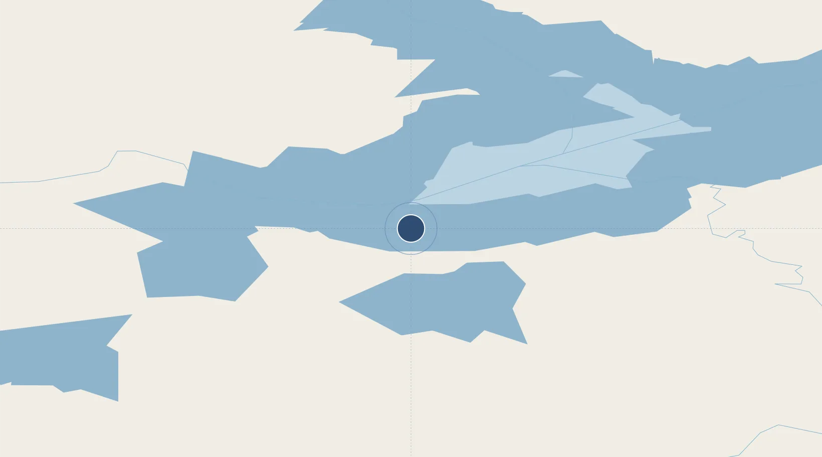
Runway & Layout

Radio Frequencies
A/D
126.7 MHz
YELLOWKNIFE RDO
CNTR
133.85 MHz
EDMONTON CNTR
UNIC
122.3 MHz
MANDATORY FREQ
Navaids
YHY VOR-DME Hay River 113.90 MHz
Runways · 2
| Runway | Dimensions | Surface | True heading | Lit |
|---|---|---|---|---|
| 14/32 | 6,000 × 150ft | Asphalt | 154° | ✓ |
| 05/23 | 4,001 × 150ft | COM | 066° | ✓ |
Airport Specifications
IATA code
YHY
ICAO code
CYHY
Airport class
Medium airport
Scheduled service
Yes
Runway surface
Asphalt
Served city
Hay River
Location
Nearby Logistics Neighbours
Airports
- 1Fort Resolution Airport119 km
- 2Yellowknife International Airport194 km
- 3Fort Smith Airport229 km
- 4High Level Airport259 km
- 5Whatì Airport266 km
Cities
- 1Kearl Lake436 km
- 2Fort MacKay471 km
- 3Grimshaw527 km
- 4Anzac562 km
- 5Girouxville573 km
Ports
- 1Bella Coola1155 km
- 2Alert Bay1333 km
- 3Duncan Bay1336 km
- 4Port Mcneill1338 km
- 5Port Mellon1349 km
Trade Zones
- 1Port Alberta - Edmonton FTZ815 km
- 2PrInce George Logistics Park875 km
- 3Calgary Region Inland Port1094 km
- 4Global Transportation Hub Authority1343 km
- 5FTZ No. 242 Boundary County1346 km
DatabookThe Record of Consolidated Knowledge
Canada beyond logistics?