Medium airport · Canada
Yellowknife International AirportCYZF
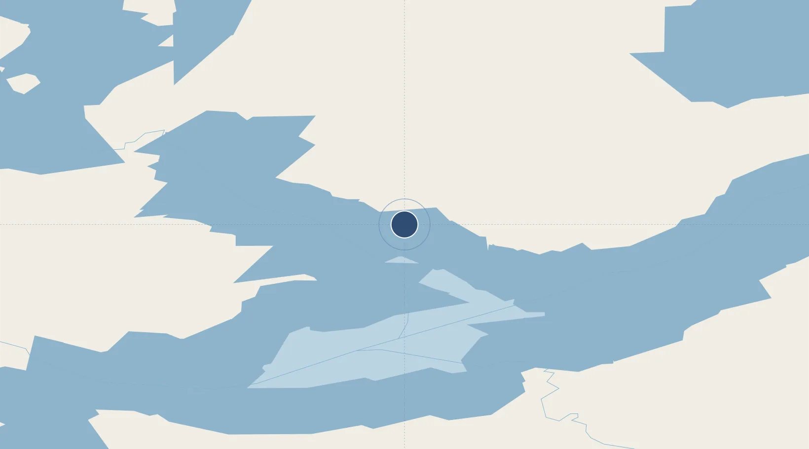
62.4628°, -114.4400°
7,500 ft
Longest runway
2
Runways
675 ft
Elevation
Runway & Layout

Radio Frequencies
ATIS
128.4 MHz
TWR
118.5 MHz
GND
121.9 MHz
A/G
118.5 MHz
MF
CNTR
135.8 MHz
EDMONTON CNTR
FSS
122.5 MHz
RDO
Navaids
YZF VORTAC Yellowknife 115.50 MHz
ZF NDB Yellowknife 356 kHz
Runways · 2
| Runway | Dimensions | Surface | True heading | Lit |
|---|---|---|---|---|
| 16/34 | 7,500 × 150ft | Asphalt | 176° | ✓ |
| 10/28 | 5,000 × 150ft | Asphalt | 116° | ✓ |
Airport Specifications
IATA code
YZF
ICAO code
CYZF
Airport class
Medium airport
Scheduled service
Yes
Runway surface
Asphalt
Served city
Yellowknife
Location
Nearby Logistics Neighbours
Airports
- 1Fort Resolution Airport148 km
- 2Whatì Airport161 km
- 3Wekweètì Airport193 km
- 4Lutselk'e Airport193 km
- 5Hay River / Merlyn Carter Airport194 km
Cities
- 1Fort Franklin534 km
- 2Kearl Lake564 km
- 3Fort MacKay608 km
- 4Anzac697 km
- 5Grimshaw719 km
Ports
- 1Stewart1140 km
- 2Hyder1142 km
- 3Kitimat1252 km
- 4Bella Coola1340 km
- 5Klemtu1375 km
Trade Zones
- 1Port Alberta - Edmonton FTZ984 km
- 2PrInce George Logistics Park1066 km
- 3Calgary Region Inland Port1269 km
- 4Global Transportation Hub Authority1459 km
- 5FTZ No. 242 Boundary County1532 km
DatabookThe Record of Consolidated Knowledge
Canada beyond logistics?