Medium airport · Canada
Fort Simpson AirportCYFS
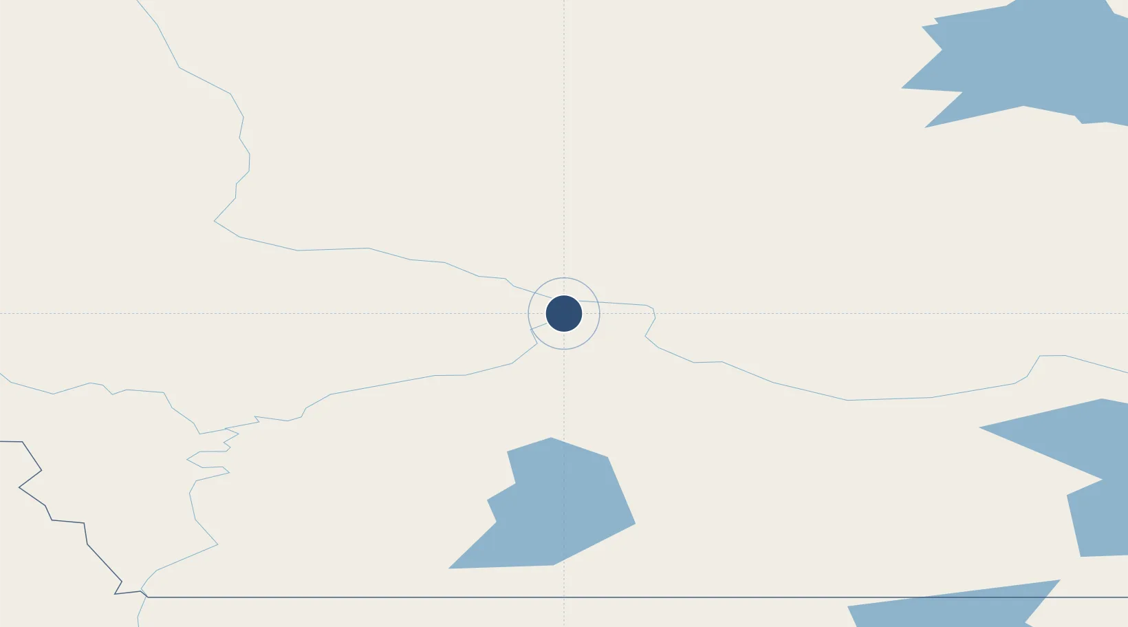
61.7602°, -121.2370°
6,000 ft
Longest runway
1
Runways
555 ft
Elevation
Runway & Layout

Radio Frequencies
CNTR
135.4 MHz
EDMONTON CNTR
MF
122.2 MHz
FT SIMPSON RDO
RCO
126.7 MHz
YELLOWKNIFE RDO
Navaids
FS NDB Fort Simpson 375 kHz
YFS VOR-DME Fort Simpson 117.90 MHz
Runways · 1
| Runway | Dimensions | Surface | True heading | Lit |
|---|---|---|---|---|
| 14/32 | 6,000 × 150ft | Asphalt | 156° | ✓ |
Airport Specifications
IATA code
YFS
ICAO code
CYFS
Airport class
Medium airport
Scheduled service
Yes
Runway surface
Asphalt
Served city
Fort Simpson
Location
Nearby Logistics Neighbours
Airports
- 1Wrigley Airport197 km
- 2Fort Liard Airport208 km
- 3Whatì Airport256 km
- 4Hay River / Merlyn Carter Airport309 km
- 5Rae Lakes Airport329 km
Cities
- 1Fort Franklin396 km
- 2Grimshaw652 km
- 3Bay Tree665 km
- 4Spirit River681 km
- 5Girouxville705 km
Trade Zones
- 1PrInce George Logistics Park877 km
- 2Port Alberta - Edmonton FTZ1017 km
- 3Calgary Region Inland Port1268 km
- 4FTZ Vancouver Island1396 km
- 5FTZ No. 128 Whatcom County1442 km
DatabookThe Record of Consolidated Knowledge
Canada beyond logistics?