Seaport · Iceland
VestmannaeyjarISVES
63.4333°, -20.2833°
5.0 m
Channel depth
24.6
Port liner connectivity
Channel & Berth Profile
Pilotage, Tugs & Services
Pilotage compulsoryYES
Pilotage availableYES
Tug assistanceYES
Salvage tugsNO
Shore powerYES
Potable waterYES
Diesel bunkersYES
MedicalYES
Garbage disposalNO
Facilities & Capabilities
Container—
Ro-Ro—
Liquid bulk—
Dry bulk—
Oil terminal—
Break bulk—
Dry dock—
RepairsNO
BunkeringYES
Rail link—
Dangerous cargo—
ISPS security—
Harbour Specifications
Harbour size
Small
Harbour type
Coastal (Natural)
Shelter
Excellent
Water body
North Atlantic Ocean
Tidal range
2.7 m
Overhead limit
No
Pilotage
Yes
Liner Connectivity
24.6
PLSCI
Port Liner Shipping Connectivity Index for Vestmannaeyjar, as published by UNCTAD for the latest available quarter. Higher values indicate stronger scheduled liner-shipping integration.
Shown relative to the highest per-port PLSCI in the dataset (1,657.9).
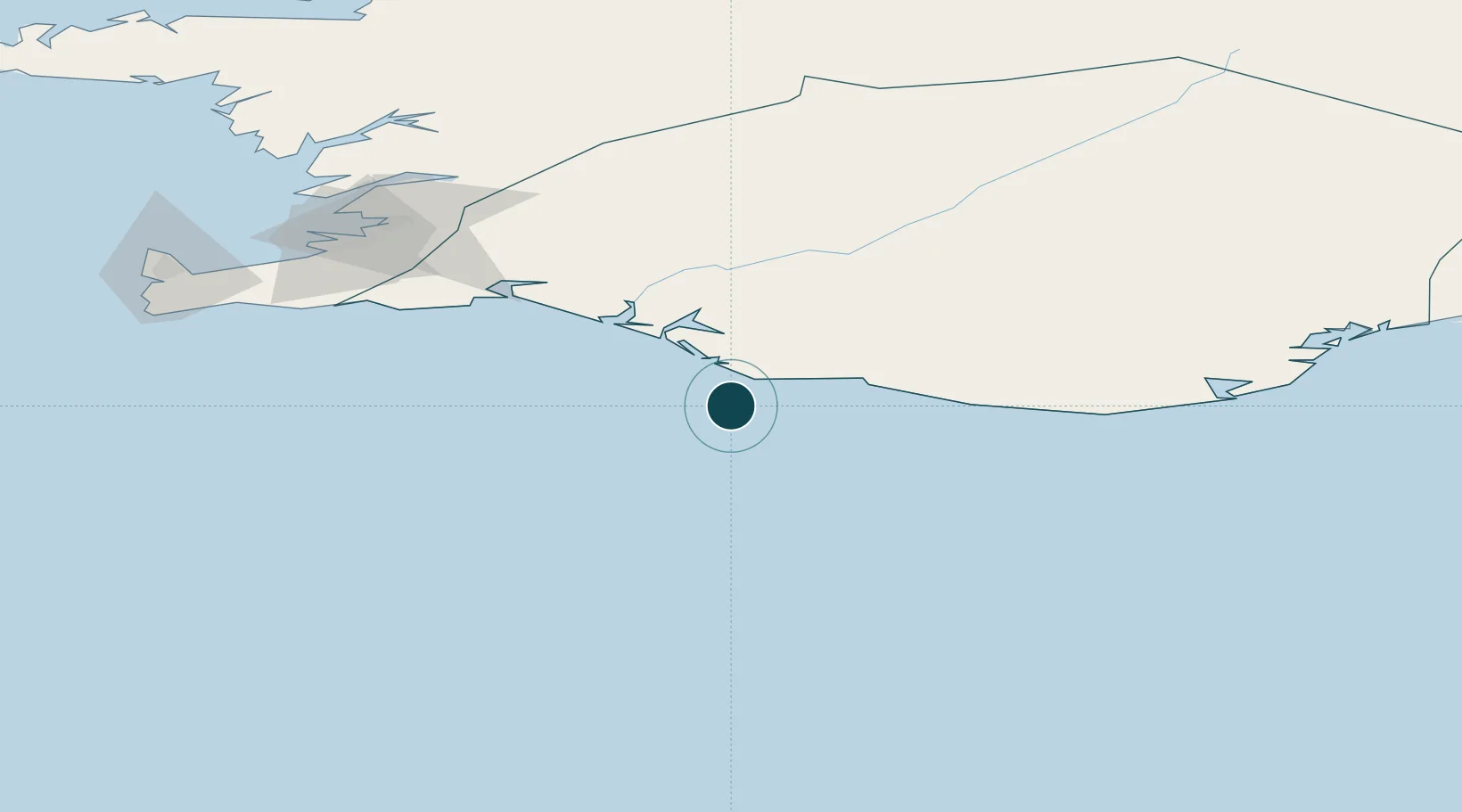
Location
Nearby Logistics Neighbours
Ports
- 1Thorlakshofn71 km
- 2Hafnarfjordur108 km
- 3Straumsvik111 km
- 4Kopavogur112 km
- 5Reykjavik114 km
Cities
- 1Mosfellsbaer108 km
- 2Kópavogur109 km
- 3Reykjavík110 km
- 4Grindavík115 km
- 5Vogar120 km
Airports
- 1Vestmannaeyjar Airport1 km
- 2Reykjavík Domestic Airport112 km
- 3Keflavik International Airport130 km
- 4Hornafjörður Airport266 km
- 5Akureyri International Airport269 km
Trade Zones
DatabookThe Record of Consolidated Knowledge
Iceland beyond logistics?