Seaport · Iceland
ThorlakshofnISTHH
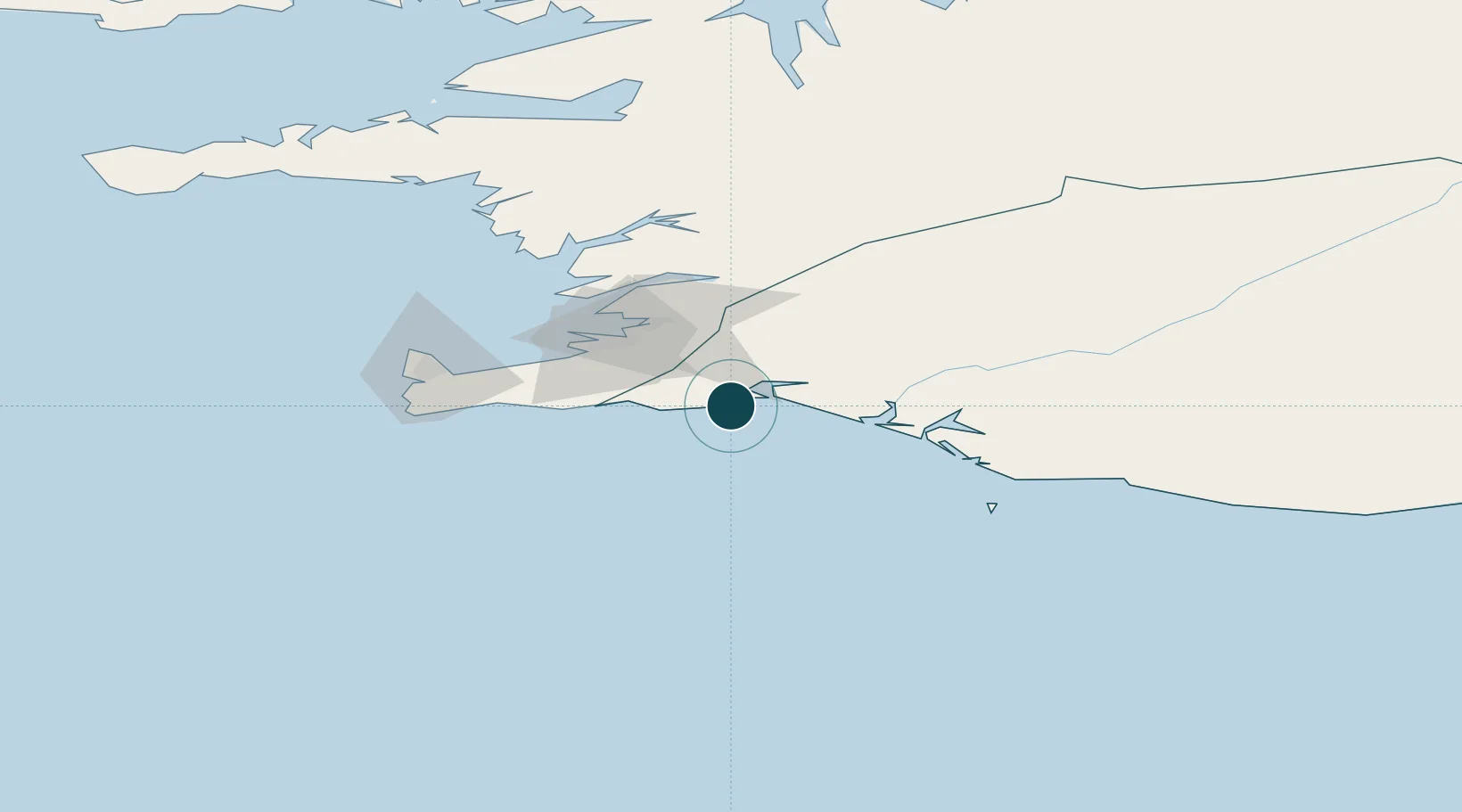
63.8500°, -21.3667°
6.6 m
Channel depth
10.4
Port liner connectivity
Channel & Berth Profile
Pilotage, Tugs & Services
Potable waterYES
MedicalYES
Facilities & Capabilities
Container—
Ro-RoYES
Liquid bulk—
Dry bulk—
Oil terminal—
Break bulkYES
Dry dock—
RepairsNO
Bunkering—
Rail link—
Dangerous cargo—
ISPS securityYES
Harbour Specifications
Water body
North Atlantic Ocean
Tidal range
2.8 m
Liner Connectivity
10.4
PLSCI
Port Liner Shipping Connectivity Index for Thorlakshofn, as published by UNCTAD for the latest available quarter. Higher values indicate stronger scheduled liner-shipping integration.
Shown relative to the highest per-port PLSCI in the dataset (1,657.9).
Location
Nearby Logistics Neighbours
Ports
- 1Hafnarfjordur37 km
- 2Straumsvik40 km
- 3Kopavogur41 km
- 4Reykjavik43 km
- 5Skerjafjordur46 km
Cities
- 1Kópavogur39 km
- 2Mosfellsbaer39 km
- 3Reykjavík40 km
- 4Vogar52 km
- 5Grindavík52 km
Airports
- 1Reykjavík Domestic Airport42 km
- 2Keflavik International Airport62 km
- 3Vestmannaeyjar Airport72 km
- 4Bildudalur Airport224 km
- 5Akureyri International Airport254 km
Trade Zones
DatabookThe Record of Consolidated Knowledge
Iceland beyond logistics?