Small airport · United States
Kasigluk AirportPFKA
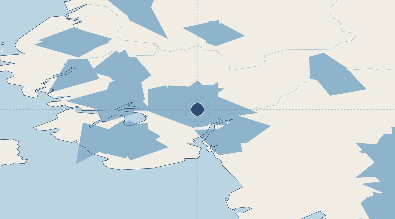
60.8727°, -162.5247°
3,000 ft
Longest runway
1
Runways
48 ft
Elevation
Runway & Layout

Runways · 1
| Runway | Dimensions | Surface | True heading | Lit |
|---|---|---|---|---|
| 17/35 | 3,000 × 60ft | GRVL-G | — | — |
Airport Specifications
IATA code
KUK
ICAO code
PFKA
Airport class
Small airport
Scheduled service
Yes
Runway surface
GRVL-G
Served city
Kasigluk
Location
Nearby Logistics Neighbours
Airports
- 1Nunapitchuk Airport6 km
- 2Atmautluak Airport14 km
- 3Napakiak Airport36 km
- 4Bethel Airport39 km
- 5Napaskiak Airport45 km
Cities
- 1Sledge Island443 km
- 2Jakolof Bay628 km
- 3Afognak637 km
- 4Lenard Harbour640 km
- 5Susitna647 km
Ports
- 1Bethel44 km
- 2Platinum210 km
- 3Kotlik246 km
- 4St. Michael291 km
- 5Dillingham304 km
Trade Zones
- 1FTZ No. 232 Kodiak630 km
- 2FTZ No. 160 Anchorage680 km
- 3FTZ No. 195 Fairbanks868 km
- 4FTZ No. 108 Valdez870 km
- 5PrInce George Logistics Park2461 km
DatabookThe Record of Consolidated Knowledge
United States beyond logistics?