Small airport · United States
Napakiak AirportPANA
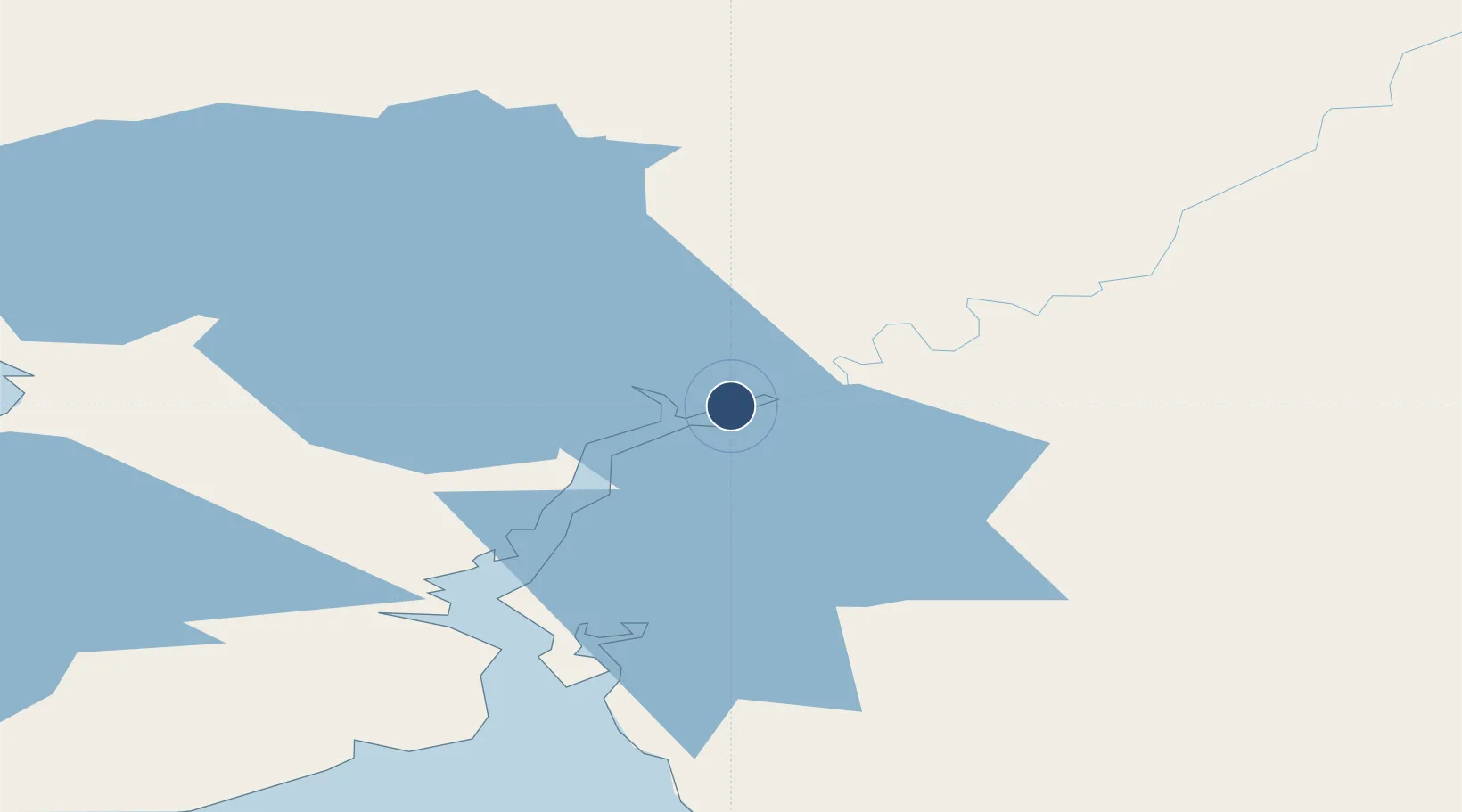
60.6903°, -161.9790°
3,248 ft
Longest runway
1
Runways
17 ft
Elevation
Runway & Layout

Runways · 1
| Runway | Dimensions | Surface | True heading | Lit |
|---|---|---|---|---|
| 16/34 | 3,248 × 60ft | GRAVEL-F | 175° | — |
Airport Specifications
IATA code
WNA
ICAO code
PANA
Airport class
Small airport
Scheduled service
Yes
Runway surface
GRAVEL-F
Served city
Napakiak
Location
Nearby Logistics Neighbours
Airports
- 1Napaskiak Airport11 km
- 2Bethel Airport13 km
- 3Atmautluak Airport25 km
- 4Kwethluk Airport31 km
- 5Nunapitchuk Airport35 km
Cities
- 1Sledge Island474 km
- 2Jakolof Bay596 km
- 3Afognak601 km
- 4Lenard Harbour620 km
- 5Susitna623 km
Ports
- 1Bethel20 km
- 2Platinum186 km
- 3Dillingham268 km
- 4Kotlik273 km
- 5Clarks Point281 km
Trade Zones
- 1FTZ No. 232 Kodiak594 km
- 2FTZ No. 160 Anchorage654 km
- 3FTZ No. 108 Valdez844 km
- 4FTZ No. 195 Fairbanks857 km
- 5PrInce George Logistics Park2432 km
DatabookThe Record of Consolidated Knowledge
United States beyond logistics?