UN/LOCODE hub · United States
USYEA

Eagle, Ada

43.7000°, -116.3500°
2
Transport functions

Transport Functions

Road
Multimodal
UN/LOCODE

Hub Profile

Region
ID
GeoNames

Location

Location of USYEA
Natural Earth 10m (public domain) · ID · USYEA · 43.70, -116.35GoogleOSMYandex

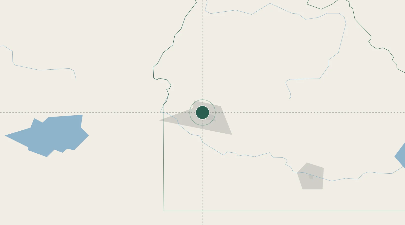
Nearby Logistics Neighbours

Cities
  1. 1Sunnyslope37 km
  2. 2New Plymouth48 km
  3. 3Parma48 km
  4. 4Mayfield48 km
  5. 5Nyssa56 km
Nearest neighbours — logibook spatial index (haversine) over the source coordinates
Ports
  1. 1The Dalles437 km
  2. 2Washougal519 km
  3. 3Camas522 km
  4. 4Portland539 km
  5. 5Vancouver545 km
Nearest neighbours — logibook spatial index (haversine) over the source coordinates
Airports
  1. 1Boise Air Terminal/Gowen Field18 km
  2. 2Ontario Municipal Airport64 km
  3. 3Mountain Home Air Force Base83 km
  4. 4Stanley Airport127 km
  5. 5McCall Municipal Airport134 km
Nearest neighbours — logibook spatial index (haversine) over the source coordinates
Trade Zones
  1. 1FTZ No. 280 Ada and Canyon Counties62 km
  2. 2FTZ No. 274 Butte-Silver Bow365 km
  3. 3FTZ No. 275 Lansing395 km
  4. 4FTZ No. 203 Moses Lake447 km
  5. 5FTZ No. 224 Spokane450 km
Nearest neighbours — logibook spatial index (haversine) over the source coordinates
DatabookThe Record of Consolidated Knowledge
United States beyond logistics?
Browse databook

All Sources

LocationsUN/LOCODE
UN/LOCODE — free
Portsthe NGA World Port Index
Public domain (US gov)
AirportsOurAirports
Public domain
Trade Zonesthe World Bank SEZ database
CC BY 4.0
Trade ZonesOpen Zone Map
CC BY
← United States locations