Diversified Zone · China

Yangluo Economic Development Zone Active

30.7096°, 114.5762°
3,500 ha
Zone area
31.3 km
Nearest port
6.6 km
Nearest airport

Gateway access

Nearest neighbours — logibook spatial index (haversine) over the source coordinates

Zone profile

Zone type
Diversified Zone
Open Zone Map
Region
Hubei
Open Zone Map
Status
Active
Open Zone Map
Management
Public
Open Zone Map
Operator
Working Committee of Yangluo Economic Development Zone
Open Zone Map
Legal framework
Development plan of Yangluo Economic Development Zone
Open Zone Map

Location

Location of ozm-906
Natural Earth 10m (public domain) · Hubei · ozm-906 · 30.71, 114.58GoogleOSMYandex

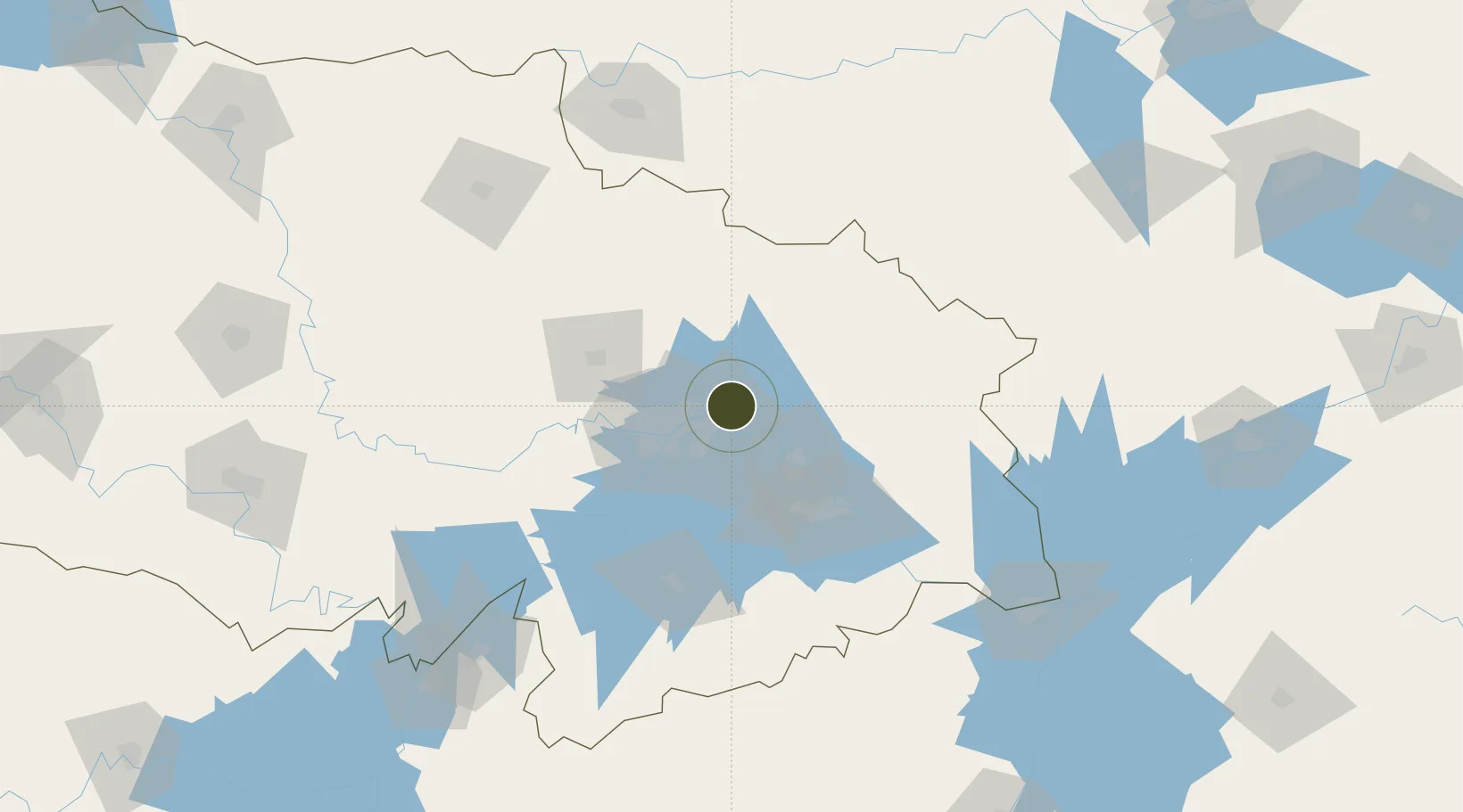
Nearby Logistics Neighbours

Ports
  1. 1Hankow31 km
  2. 2Nanjing425 km
  3. 3Zhenjiang490 km
  4. 4Yangzhou492 km
  5. 5Gaogang530 km
Nearest neighbours — logibook spatial index (haversine) over the source coordinates
Airports
  1. 1Paozhuwan Air Base7 km
  2. 2Wuhan Tianhe International Airport35 km
  3. 3Ezhou Huahu International Airport60 km
  4. 4Xiaogan Air Base69 km
  5. 5Wuhan Hannan Municipal Airport71 km
Nearest neighbours — logibook spatial index (haversine) over the source coordinates
Cities
  1. 1Wuhan31 km
  2. 2Hankou33 km
  3. 3Ezhou41 km
  4. 4Huangshi Pt76 km
  5. 5Wulidian161 km
Nearest neighbours — logibook spatial index (haversine) over the source coordinates
Trade Zones
  1. 1Qingshan Economic Development Zone16 km
  2. 2Jiangan Economic Development Zone29 km
  3. 3Tuanfeng Economic Development Zone31 km
  4. 4Jianghan Economic Development Zone33 km
  5. 5Hongshan Economic Development Zone34 km
Nearest neighbours — logibook spatial index (haversine) over the source coordinates
DatabookThe Record of Consolidated Knowledge
China beyond logistics?
Browse databook

All Sources

Trade ZonesOpen Zone Map
CC BY
Portsthe NGA World Port Index
Public domain (US gov)
AirportsOurAirports
Public domain
LocationsUN/LOCODE
UN/LOCODE — free
← China trade zones