UN/LOCODE hub · China
CNEZH

Ezhou

30.4000°, 114.8167°
193,652
Population
3
Transport functions

Transport Functions

Port
Rail
Road
UN/LOCODE

Hub Profile

Place type
Populated place
GeoNames
Region
Hubei
GeoNames
Population
193,652
GeoNames
Time zone
Asia/Shanghai
GeoNames
Elevation
25 m
GeoNames

Location

Location of CNEZH
Natural Earth 10m (public domain) · Hubei · CNEZH · 30.40, 114.82GoogleOSMYandex

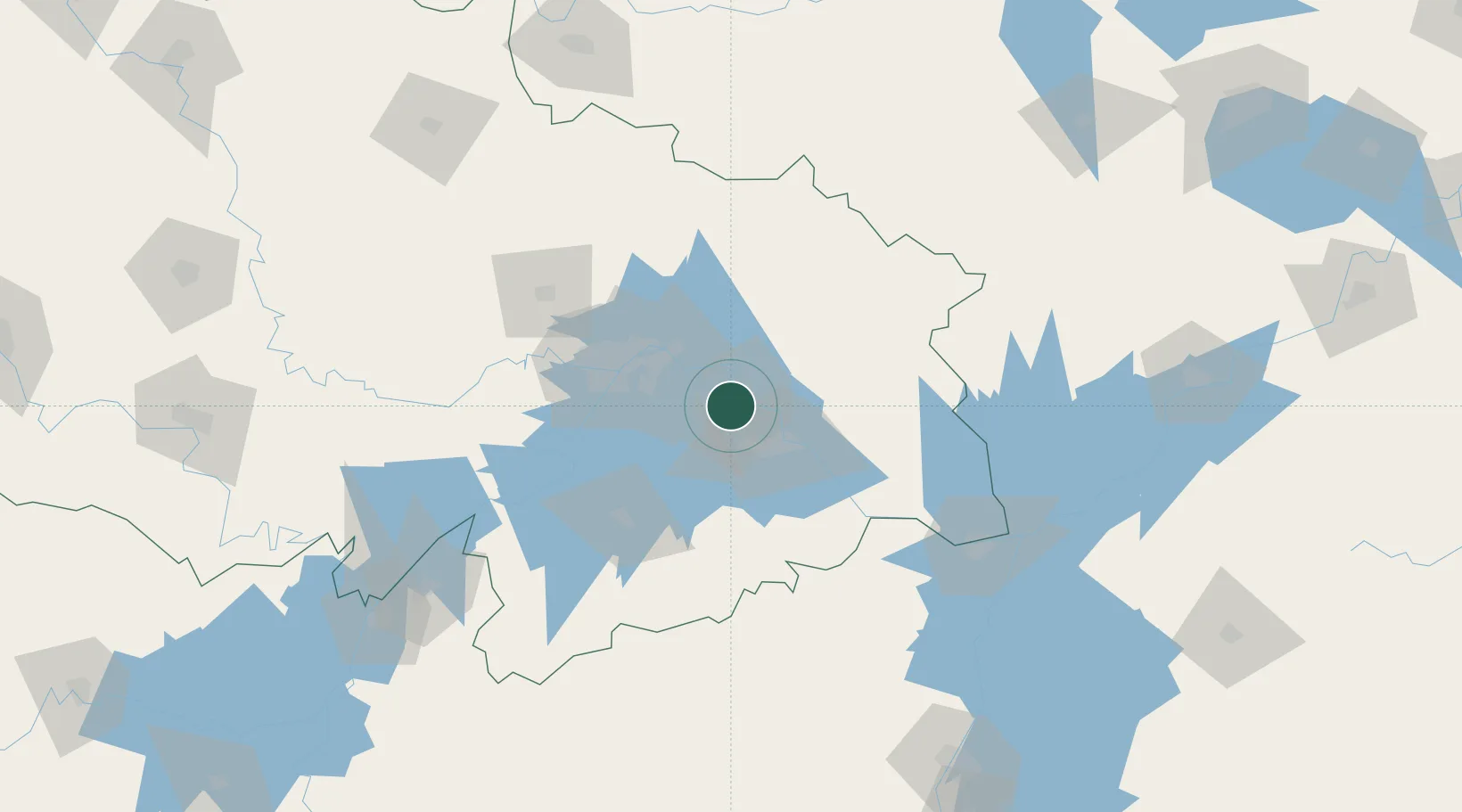
Nearby Logistics Neighbours

Cities
  1. 1Huangshi Pt35 km
  2. 2Wuhan55 km
  3. 3Hankou57 km
  4. 4Jiujiang133 km
  5. 5Shipai176 km
Nearest neighbours — logibook spatial index (haversine) over the source coordinates
Ports
  1. 1Hankow55 km
  2. 2Nanjing418 km
  3. 3Zhenjiang483 km
  4. 4Yangzhou485 km
  5. 5Changzhou521 km
Nearest neighbours — logibook spatial index (haversine) over the source coordinates
Airports
  1. 1Ezhou Huahu International Airport22 km
  2. 2Paozhuwan Air Base35 km
  3. 3Shanpo Air Base60 km
  4. 4Wuhan Tianhe International Airport71 km
  5. 5Wuhan Hannan Municipal Airport74 km
Nearest neighbours — logibook spatial index (haversine) over the source coordinates
Trade Zones
  1. 1Tuanfeng Economic Development Zone29 km
  2. 2Huangzhou Railway Station Economic Development Zone30 km
  3. 3Xisaishan Industrial Park41 km
  4. 4Yangluo Economic Development Zone41 km
  5. 5Qingshan Economic Development Zone45 km
Nearest neighbours — logibook spatial index (haversine) over the source coordinates
DatabookThe Record of Consolidated Knowledge
China beyond logistics?
Browse databook

All Sources

LocationsUN/LOCODE
UN/LOCODE — free
LocationsGeoNames
CC BY 4.0
Portsthe NGA World Port Index
Public domain (US gov)
AirportsOurAirports
Public domain
Trade Zonesthe World Bank SEZ database
CC BY 4.0
Trade ZonesOpen Zone Map
CC BY
← China locations