Transport Functions
Rail
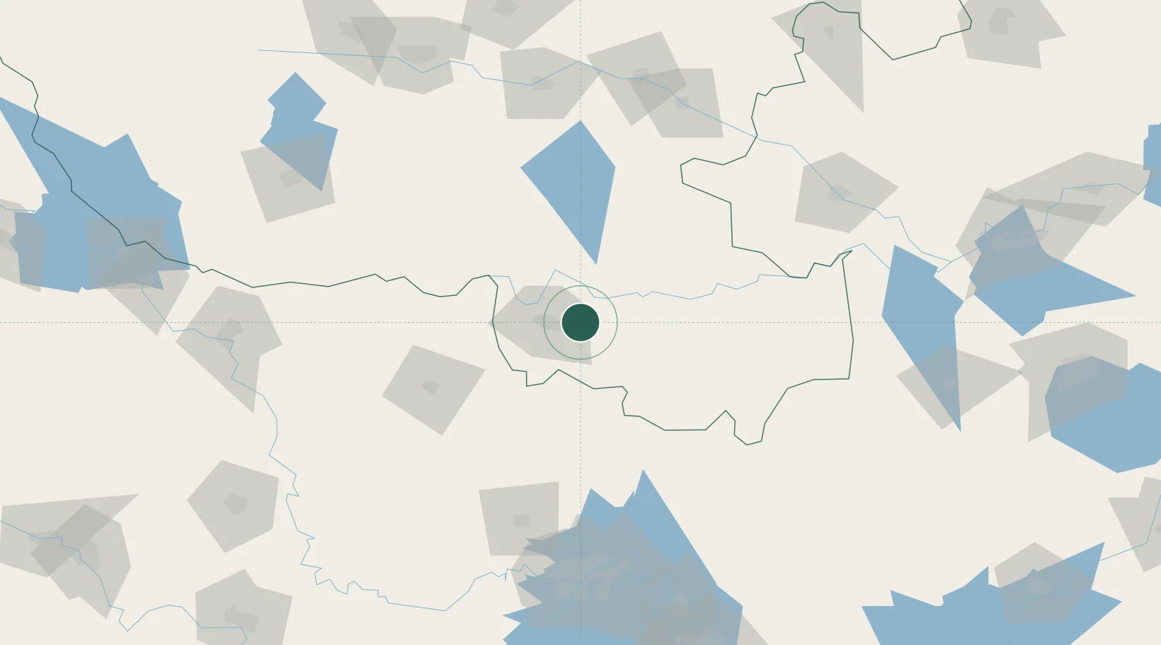
Hub Profile
Place type
Populated place
Region
Henan
Time zone
Asia/Shanghai
Elevation
61 m
Location
Nearby Logistics Neighbours
Airports
- 1Xinyang Minggang Airport49 km
- 2Xiaogan Air Base136 km
- 3Wuhan Tianhe International Airport151 km
- 4Fuyang Xiguan Airport160 km
- 5Paozhuwan Air Base166 km
DatabookThe Record of Consolidated Knowledge
China beyond logistics?