Medium airport · China

Paozhuwan Air BaseCN-0344

30.6739°, 114.6309°

Runway & Layout

Paozhuwan Air Base runway & taxiway layout
Runway & taxiway layout — OpenStreetMap (ODbL) / OurAirports

Airport Specifications

Airport class
Medium airport
OurAirports
Scheduled service
No
OurAirports
Served city
Wuhan (Xinzhou)
OurAirports

Location

Location of CN-0344
Natural Earth 10m (public domain) · Hubei · CN-0344 · 30.67, 114.63GoogleOSMYandex

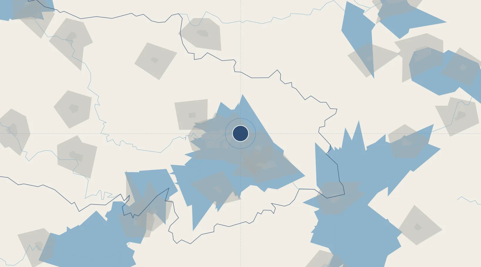
Nearby Logistics Neighbours

Airports
  1. 1Wuhan Tianhe International Airport41 km
  2. 2Ezhou Huahu International Airport54 km
  3. 3Wuhan Hannan Municipal Airport72 km
  4. 4Shanpo Air Base72 km
  5. 5Xiaogan Air Base75 km
Nearest neighbours — logibook spatial index (haversine) over the source coordinates
Cities
  1. 1Wuhan35 km
  2. 2Ezhou35 km
  3. 3Hankou36 km
  4. 4Huangshi Pt69 km
  5. 5Jiujiang165 km
Nearest neighbours — logibook spatial index (haversine) over the source coordinates
Ports
  1. 1Hankow35 km
  2. 2Nanjing421 km
  3. 3Zhenjiang487 km
  4. 4Yangzhou489 km
  5. 5Gaogang526 km
Nearest neighbours — logibook spatial index (haversine) over the source coordinates
Trade Zones
  1. 1Yangluo Economic Development Zone7 km
  2. 2Qingshan Economic Development Zone19 km
  3. 3Tuanfeng Economic Development Zone25 km
  4. 4Jiangan Economic Development Zone33 km
  5. 5Hongshan Economic Development Zone36 km
Nearest neighbours — logibook spatial index (haversine) over the source coordinates
DatabookThe Record of Consolidated Knowledge
China beyond logistics?
Browse databook

All Sources

AirportsOurAirports
Public domain
Portsthe NGA World Port Index
Public domain (US gov)
LocationsUN/LOCODE
UN/LOCODE — free
Trade Zonesthe World Bank SEZ database
CC BY 4.0
Trade ZonesOpen Zone Map
CC BY
InfrastructureOpenStreetMap
ODbL 1.0
← China airports