Seaport · China

ZhenjiangCNZHE

32.2167°, 119.4333°
9.4 m
Channel depth
11.6
Port liner connectivity
Zhenjiang is also a UN/LOCODE logistics hub →

Channel & Berth Profile

SEA LEVEL (CD)CHANNEL BEDAnchorage · 7.9 mOil terminal · 7.9 mChannel · 9.4 mCargo pier · 11.0 m
NGA World Port Index

Pilotage, Tugs & Services

Pilotage compulsoryYES
Pilotage availableYES
Tug assistanceYES
Potable waterYES
MedicalYES
Garbage disposalYES
NGA World Port Index

Facilities & Capabilities

Container
Ro-Ro
Liquid bulk
Dry bulk
Oil terminal
Break bulk
Dry dock
RepairsNO
BunkeringYES
Rail link
Dangerous cargo
ISPS security
NGA World Port Index

Harbour Specifications

Harbour size
Small
NGA World Port Index
Harbour type
River (Natural)
NGA World Port Index
Shelter
Fair
NGA World Port Index
Water body
East China Sea; North Pacific Ocean
NGA World Port Index
Tidal range
2 m
NGA World Port Index
Overhead limit
Yes
NGA World Port Index
Pilotage
Yes
NGA World Port Index

Liner Connectivity

11.6
PLSCI

Port Liner Shipping Connectivity Index for Zhenjiang, as published by UNCTAD for the latest available quarter. Higher values indicate stronger scheduled liner-shipping integration.

Shown relative to the highest per-port PLSCI in the dataset (1,657.9).
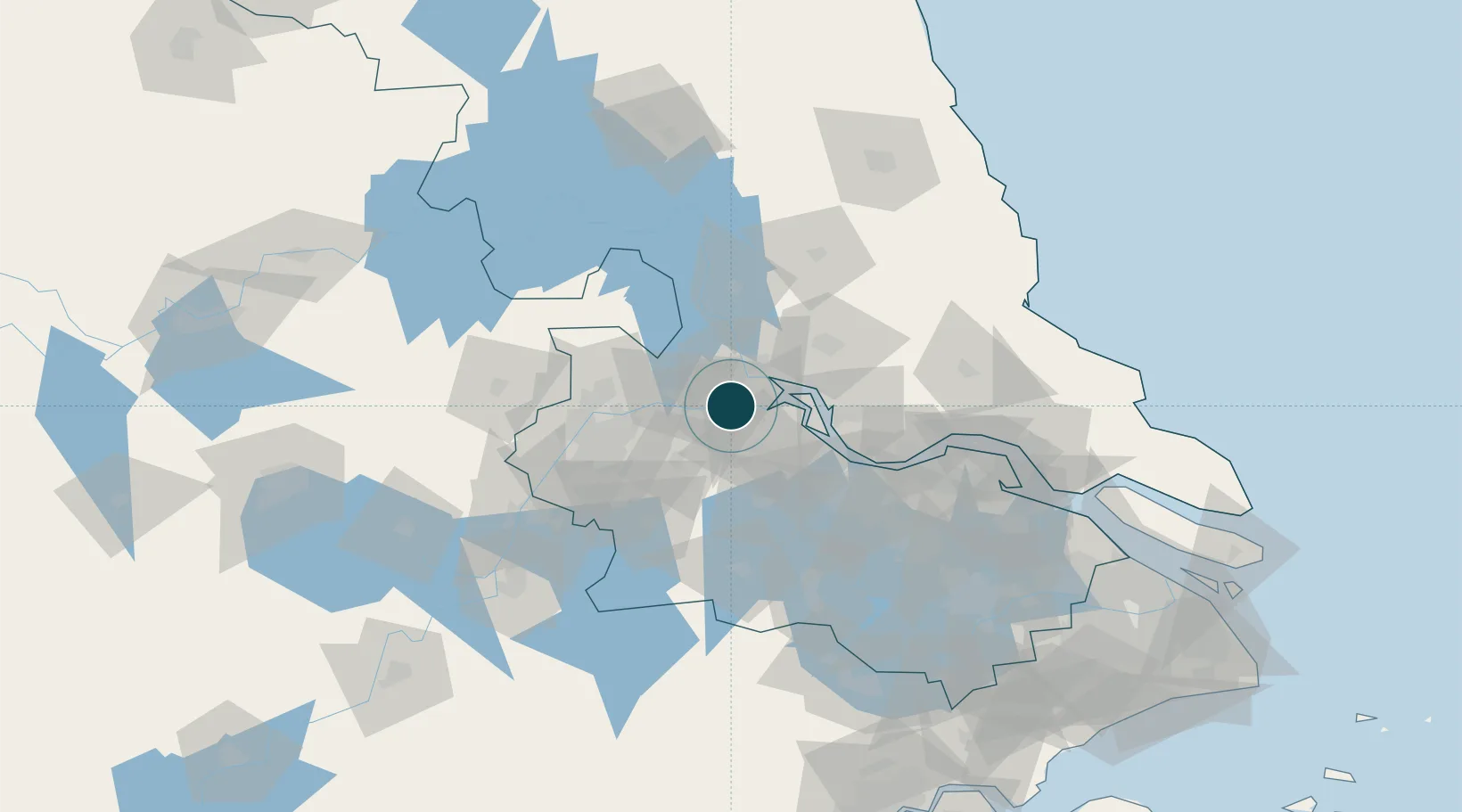
UNCTAD · Port Liner Shipping Connectivity Index

Location

Location of CNZHE
Natural Earth 10m (public domain) · Jiangsu · CNZHE · 32.22, 119.43GoogleOSMYandex

Nearby Logistics Neighbours

Ports
  1. 1Yangzhou6 km
  2. 2Gaogang40 km
  3. 3Changzhou59 km
  4. 4Nanjing66 km
  5. 5Jiangyin82 km
Nearest neighbours — logibook spatial index (haversine) over the source coordinates
Cities
  1. 1Yangzhou11 km
  2. 2Yizheng26 km
  3. 3Yangzhong36 km
  4. 4Gaogang40 km
  5. 5Jurong42 km
Nearest neighbours — logibook spatial index (haversine) over the source coordinates
Airports
  1. 1Changzhou Benniu International Airport46 km
  2. 2Yangzhou Taizhou Airport47 km
  3. 3Nanjing Lukou International Airport76 km
  4. 4Rugao Air Base101 km
  5. 5Sunan Shuofang International Airport124 km
Nearest neighbours — logibook spatial index (haversine) over the source coordinates
Trade Zones
  1. 1Zhenjiang Runzhou Industrial Park4 km
  2. 2Dantu Economic Development Park13 km
  3. 3Dantu Economic Development Zone13 km
  4. 4Jingkou Industrial Park15 km
  5. 5Yizheng Economic Development Zone18 km
Nearest neighbours — logibook spatial index (haversine) over the source coordinates
DatabookThe Record of Consolidated Knowledge
China beyond logistics?
Browse databook

All Sources

Portsthe NGA World Port Index
Public domain (US gov)
Logistics performanceUNCTAD
CC BY 3.0 IGO
AirportsOurAirports
Public domain
LocationsUN/LOCODE
UN/LOCODE — free
Trade Zonesthe World Bank SEZ database
CC BY 4.0
Trade ZonesOpen Zone Map
CC BY
← China ports