UN/LOCODE hub · China
CNHSI

Huangshi Pt

30.2000°, 115.1000°
1
Transport functions

Transport Functions

Port
UN/LOCODE

Hub Profile

Region
HB
GeoNames
Logistics facilities
2
UN/LOCODE

Location

Location of CNHSI
Natural Earth 10m (public domain) · HB · CNHSI · 30.20, 115.10GoogleOSMYandex

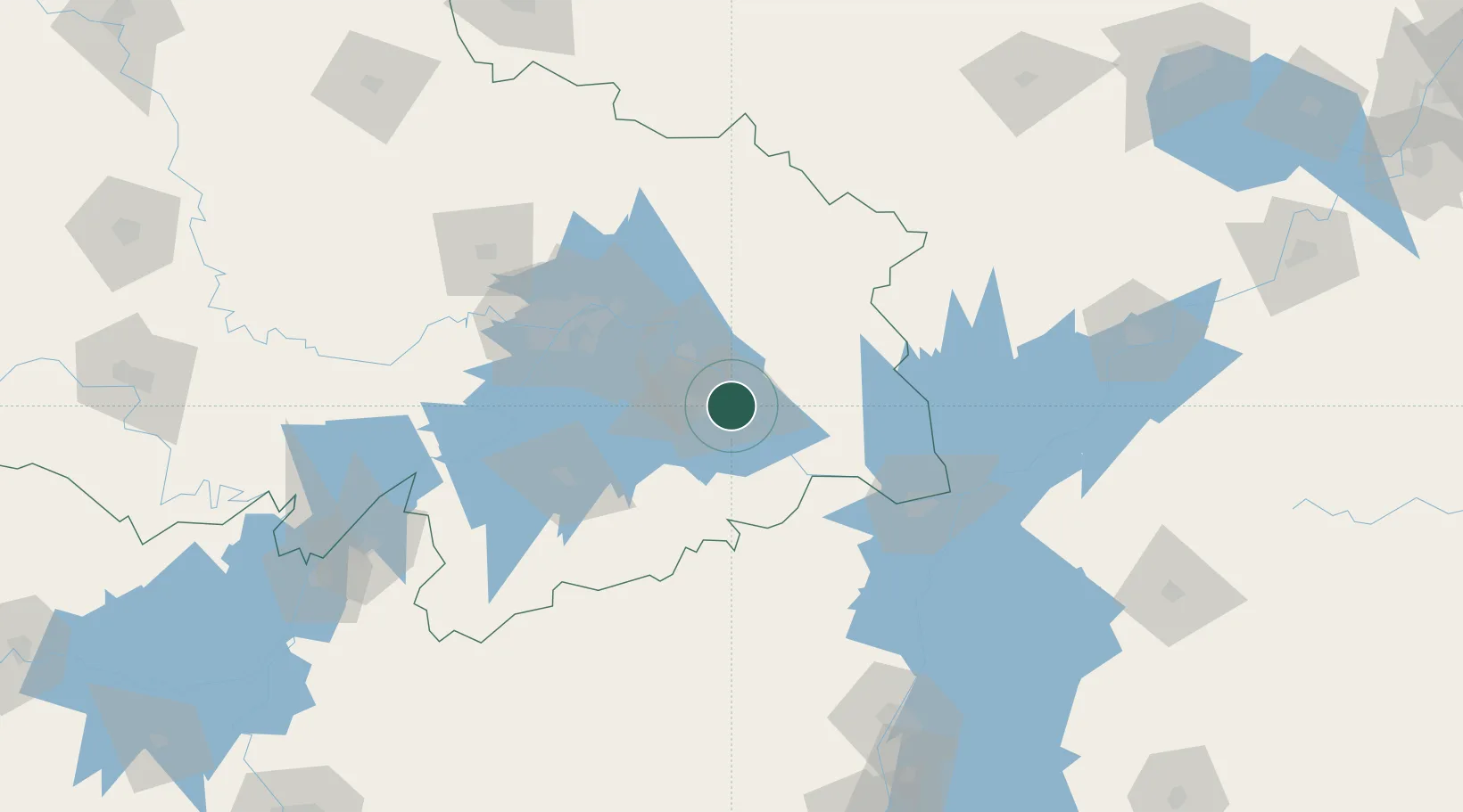
Nearby Logistics Neighbours

Cities
  1. 1Ezhou35 km
  2. 2Wuhan89 km
  3. 3Hankou91 km
  4. 4Jiujiang98 km
  5. 5Shipai149 km
Nearest neighbours — logibook spatial index (haversine) over the source coordinates
Ports
  1. 1Hankow89 km
  2. 2Nanjing406 km
  3. 3Zhenjiang469 km
  4. 4Yangzhou472 km
  5. 5Changzhou505 km
Nearest neighbours — logibook spatial index (haversine) over the source coordinates
Airports
  1. 1Ezhou Huahu International Airport17 km
  2. 2Paozhuwan Air Base69 km
  3. 3Shanpo Air Base77 km
  4. 4Wuhan Hannan Municipal Airport100 km
  5. 5Jiujiang Lushan Airport105 km
Nearest neighbours — logibook spatial index (haversine) over the source coordinates
DatabookThe Record of Consolidated Knowledge
China beyond logistics?
Browse databook

All Sources

LocationsUN/LOCODE
UN/LOCODE — free
Portsthe NGA World Port Index
Public domain (US gov)
AirportsOurAirports
Public domain
Trade Zonesthe World Bank SEZ database
CC BY 4.0
Trade ZonesOpen Zone Map
CC BY
← China locations