Diversified Zone · China

Jiangan Economic Development Zone Active
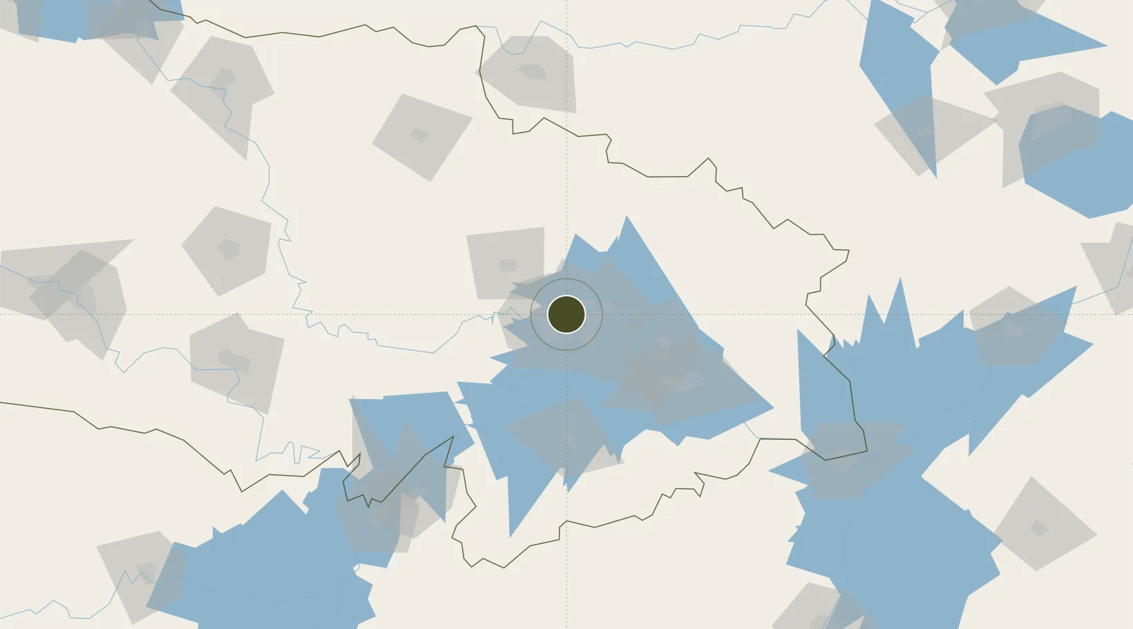
30.6337°, 114.2890°
3,800 ha
Zone area
5.6 km
Nearest port
17.3 km
Nearest airport

Gateway access

Nearest neighbours — logibook spatial index (haversine) over the source coordinates

Zone profile

Zone type
Diversified Zone
Open Zone Map
Region
Hubei
Open Zone Map
Status
Active
Open Zone Map
Management
Public
Open Zone Map
Operator
Jiang'an Economic Development Zone Management Committee
Open Zone Map
Legal framework
It was founded in 2001
Open Zone Map

Location

Location of ozm-920
Natural Earth 10m (public domain) · Hubei · ozm-920 · 30.63, 114.29GoogleOSMYandex

Nearby Logistics Neighbours

Ports
  1. 1Hankow6 km
  2. 2Nanjing453 km
  3. 3Zhenjiang519 km
  4. 4Yangzhou521 km
  5. 5Gaogang558 km
Nearest neighbours — logibook spatial index (haversine) over the source coordinates
Airports
  1. 1Wuhan Tianhe International Airport17 km
  2. 2Paozhuwan Air Base33 km
  3. 3Wuhan Hannan Municipal Airport47 km
  4. 4Xiaogan Air Base51 km
  5. 5Shanpo Air Base61 km
Nearest neighbours — logibook spatial index (haversine) over the source coordinates
Cities
  1. 1Wuhan6 km
  2. 2Hankou6 km
  3. 3Ezhou57 km
  4. 4Huangshi Pt92 km
  5. 5Wulidian167 km
Nearest neighbours — logibook spatial index (haversine) over the source coordinates
Trade Zones
  1. 1Jianghan Economic Development Zone4 km
  2. 2Qingshan Economic Development Zone14 km
  3. 3Hongshan Economic Development Zone15 km
  4. 4Wuhan Export Processing Zone22 km
  5. 5Yangluo Economic Development Zone29 km
Nearest neighbours — logibook spatial index (haversine) over the source coordinates
DatabookThe Record of Consolidated Knowledge
China beyond logistics?
Browse databook

All Sources

Trade ZonesOpen Zone Map
CC BY
Portsthe NGA World Port Index
Public domain (US gov)
AirportsOurAirports
Public domain
LocationsUN/LOCODE
UN/LOCODE — free
← China trade zones