Diversified Zone · China

Tuanfeng Economic Development Zone Active

30.6515°, 114.8882°
3,000 ha
Zone area
58.4 km
Nearest port
24.7 km
Nearest airport

Gateway access

Nearest neighbours — logibook spatial index (haversine) over the source coordinates

Zone profile

Zone type
Diversified Zone
Open Zone Map
Region
Hubei
Open Zone Map
Status
Active
Open Zone Map
Management
Public
Open Zone Map
Operator
Tuanfeng Economic Development Zone Management Committee
Open Zone Map
Legal framework
In April 2006, the National Development and Reform Commission issued an announcement
Open Zone Map

Location

Location of ozm-879
Natural Earth 10m (public domain) · Hubei · ozm-879 · 30.65, 114.89GoogleOSMYandex

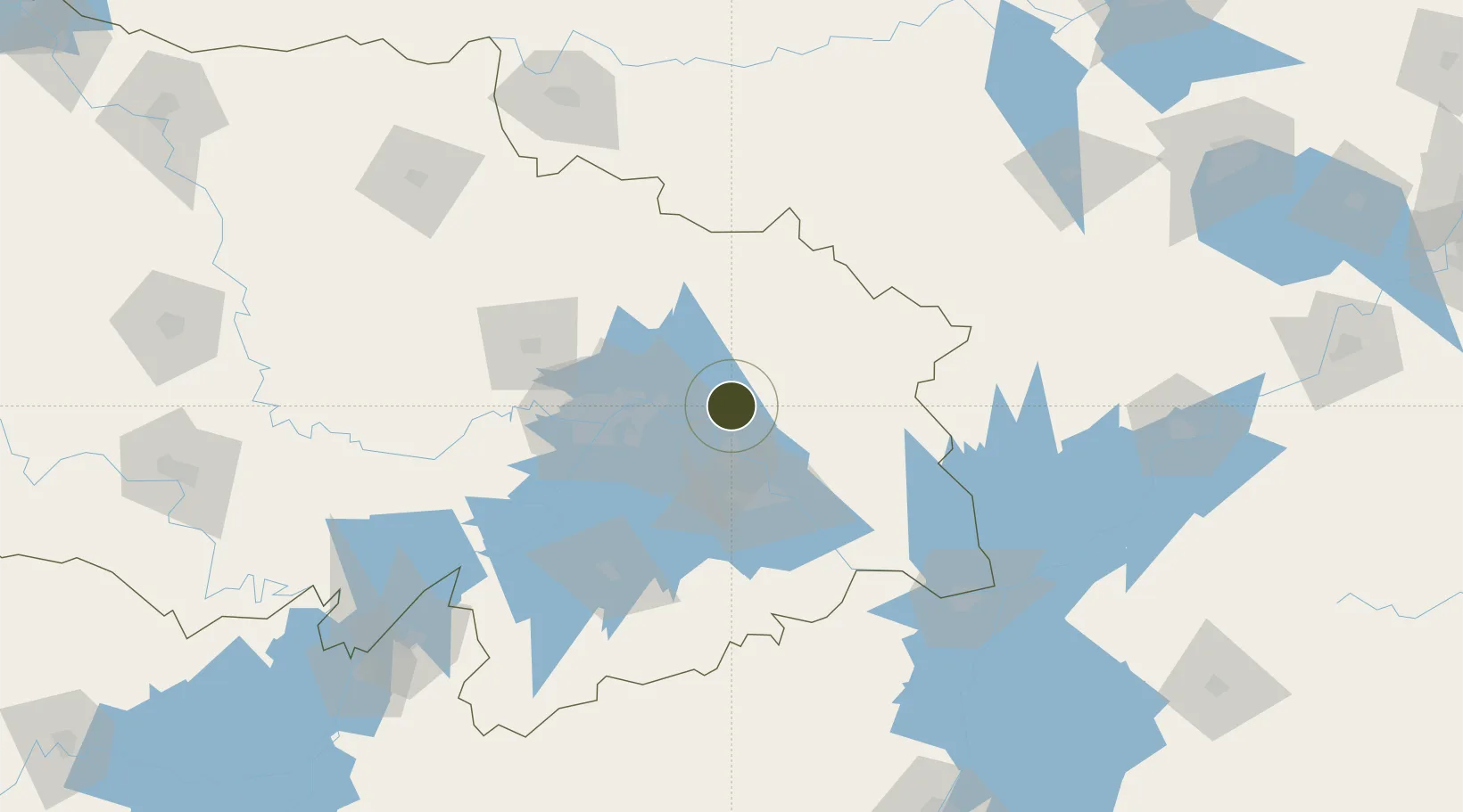
Nearby Logistics Neighbours

Ports
  1. 1Hankow58 km
  2. 2Nanjing400 km
  3. 3Zhenjiang465 km
  4. 4Yangzhou467 km
  5. 5Gaogang504 km
Nearest neighbours — logibook spatial index (haversine) over the source coordinates
Airports
  1. 1Paozhuwan Air Base25 km
  2. 2Ezhou Huahu International Airport37 km
  3. 3Wuhan Tianhe International Airport66 km
  4. 4Shanpo Air Base84 km
  5. 5Wuhan Hannan Municipal Airport91 km
Nearest neighbours — logibook spatial index (haversine) over the source coordinates
Cities
  1. 1Ezhou29 km
  2. 2Huangshi Pt54 km
  3. 3Wuhan58 km
  4. 4Hankou60 km
  5. 5Jiujiang145 km
Nearest neighbours — logibook spatial index (haversine) over the source coordinates
Trade Zones
  1. 1Huangzhou Railway Station Economic Development Zone15 km
  2. 2Yangluo Economic Development Zone31 km
  3. 3Qingshan Economic Development Zone44 km
  4. 4Hongan High-tech Industrial Park54 km
  5. 5Xisaishan Industrial Park56 km
Nearest neighbours — logibook spatial index (haversine) over the source coordinates
DatabookThe Record of Consolidated Knowledge
China beyond logistics?
Browse databook

All Sources

Trade ZonesOpen Zone Map
CC BY
Portsthe NGA World Port Index
Public domain (US gov)
AirportsOurAirports
Public domain
LocationsUN/LOCODE
UN/LOCODE — free
← China trade zones