Large airport · China

Wuhan Tianhe International AirportZHHH
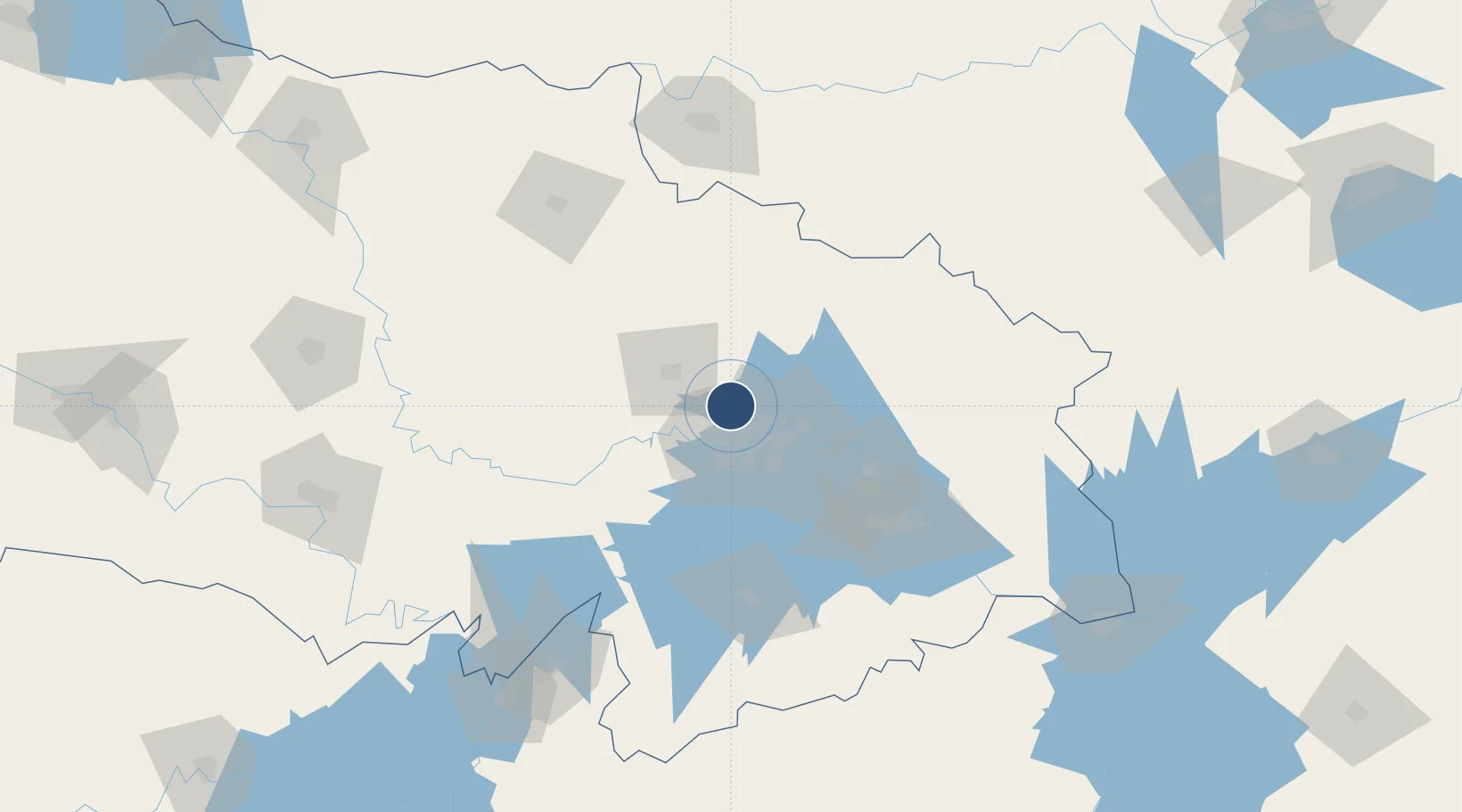
30.7748°, 114.2137°
11,811 ft
Longest runway
3
Runways
113 ft
Elevation

Runway & Layout

Wuhan Tianhe International Airport runway & taxiway layout
Runway & taxiway layout — OpenStreetMap (ODbL) / OurAirports

Radio Frequencies

ATIS
126.6 MHz
TWR
122.7 MHz
WUHAN TWR
GND
121.65 MHz
WUHAN GND
OurAirports

Navaids

HG NDB Tianhe 254 kHz
JR NDB Liangxiang 475 kHz
OB NDB Huairou 380 kHz
WHA VOR-DME Tianhe 112.20 MHz
OurAirports

Runways · 3

RunwayDimensions SurfaceTrue headingLit
05L/23R 11,811 × 197ft Concrete 046°
04/22 11,155 × 148ft Asphalt 042°
05R/23L 10,498 × 148ft CONC
OurAirports

Airport Specifications

IATA code
WUH
OurAirports
ICAO code
ZHHH
OurAirports
Airport class
Large airport
OurAirports
Scheduled service
Yes
OurAirports
Runway surface
Concrete
OurAirports
Served city
Wuhan (Huangpi)
OurAirports

Location

Location of ZHHH
Natural Earth 10m (public domain) · Hubei · ZHHH · 30.77, 114.21GoogleOSMYandex

Nearby Logistics Neighbours

Airports
  1. 1Xiaogan Air Base35 km
  2. 2Paozhuwan Air Base41 km
  3. 3Wuhan Hannan Municipal Airport60 km
  4. 4Shanpo Air Base77 km
  5. 5Ezhou Huahu International Airport93 km
Nearest neighbours — logibook spatial index (haversine) over the source coordinates
Cities
  1. 1Hankou22 km
  2. 2Wuhan22 km
  3. 3Ezhou71 km
  4. 4Huangshi Pt106 km
  5. 5Wulidian151 km
Nearest neighbours — logibook spatial index (haversine) over the source coordinates
Ports
  1. 1Hankow22 km
  2. 2Nanjing454 km
  3. 3Zhenjiang520 km
  4. 4Yangzhou522 km
  5. 5Gaogang560 km
Nearest neighbours — logibook spatial index (haversine) over the source coordinates
Trade Zones
  1. 1Jianghan Economic Development Zone16 km
  2. 2Jiangan Economic Development Zone17 km
  3. 3Qingshan Economic Development Zone26 km
  4. 4Hongshan Economic Development Zone32 km
  5. 5Wuhan Export Processing Zone34 km
Nearest neighbours — logibook spatial index (haversine) over the source coordinates
DatabookThe Record of Consolidated Knowledge
China beyond logistics?
Browse databook

All Sources

AirportsOurAirports
Public domain
Portsthe NGA World Port Index
Public domain (US gov)
LocationsUN/LOCODE
UN/LOCODE — free
Trade Zonesthe World Bank SEZ database
CC BY 4.0
Trade ZonesOpen Zone Map
CC BY
InfrastructureOpenStreetMap
ODbL 1.0
← China airports