About
Methodology
Sources
Licensing
English
EN
English
TR
Türkçe
DE
Deutsch
FR
Français
ES
Español
IT
Italiano
PT
Português
NL
Nederlands
PL
Polski
RU
Русский
UK
Українська
CS
Čeština
RO
Română
EL
Ελληνικά
BG
Български
AR
العربية
FA
فارسی
UR
اردو
HI
हिन्दी
BN
বাংলা
ID
Bahasa Indonesia
VI
Tiếng Việt
ZH
中文
JA
日本語
KO
한국어
logibook
/
Countries
/
China
/
Airports
/
Xiaogan Air Base
Medium airport ·
China
Xiaogan Air Base
CN-0085
30.9536°, 113.9118°
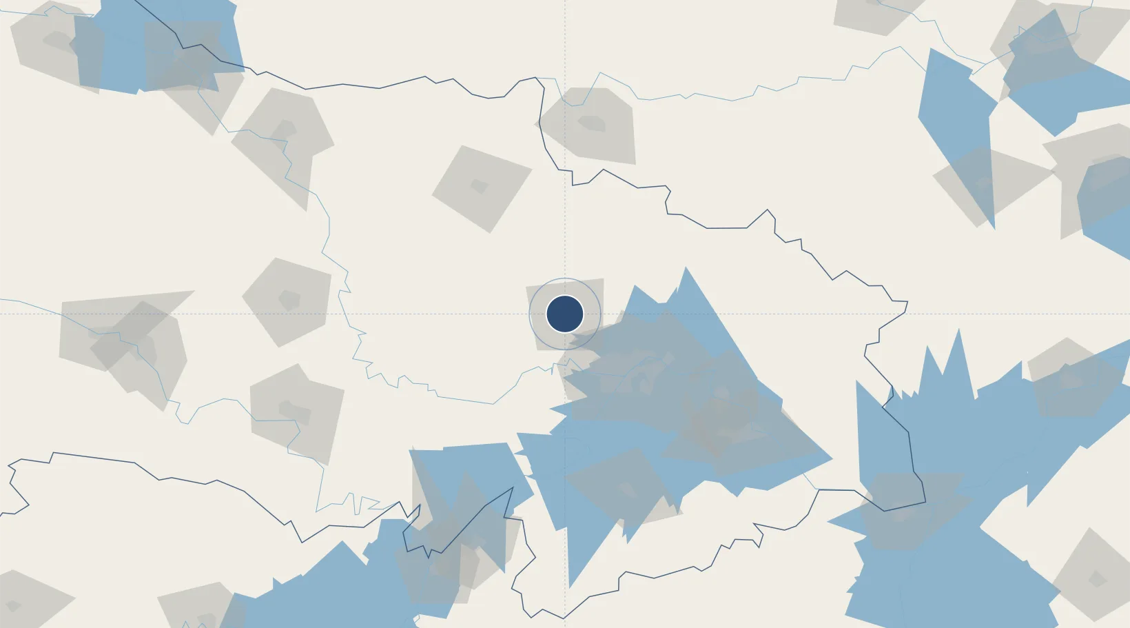
Runway & Layout
Runway & taxiway layout — OpenStreetMap (ODbL) / OurAirports
Airport Specifications
Airport class
Medium airport
OurAirports
Scheduled service
No
OurAirports
Served city
Xiaogan (Xiaonan)
OurAirports
Location
Natural Earth 10m (public domain) · Hubei · CN-0085 · 30.95, 113.91
Google ↗
OSM ↗
Yandex ↗
Nearby Logistics Neighbours
Airports
1
Wuhan Tianhe International Airport
35 km
2
Paozhuwan Air Base
75 km
3
Wuhan Hannan Municipal Airport
79 km
4
Shanpo Air Base
104 km
5
Ezhou Huahu International Airport
128 km
Nearest neighbours — logibook spatial index (haversine) over the source coordinates
Cities
1
Hankou
53 km
2
Wuhan
54 km
3
Ezhou
106 km
4
Xinyang
132 km
5
Wulidian
136 km
Nearest neighbours — logibook spatial index (haversine) over the source coordinates
Ports
1
Hankow
54 km
2
Nanjing
476 km
3
Zhenjiang
542 km
4
Yangzhou
543 km
5
Gaogang
581 km
Nearest neighbours — logibook spatial index (haversine) over the source coordinates
Trade Zones
1
Xiaochang Economic Development Zone
36 km
2
Anlu Economic Development Zone
39 km
3
Jianghan Economic Development Zone
48 km
4
Jiangan Economic Development Zone
51 km
5
Wuhan Export Processing Zone
58 km
Nearest neighbours — logibook spatial index (haversine) over the source coordinates
Data
book
The Record of Consolidated Knowledge
China beyond logistics?
Browse databook
→
All Sources
Airports
OurAirports
Public domain
↗
Ports
the NGA World Port Index
Public domain (US gov)
↗
Locations
UN/LOCODE
UN/LOCODE — free
↗
Trade Zones
the World Bank SEZ database
CC BY 4.0
↗
Trade Zones
Open Zone Map
CC BY
↗
Infrastructure
OpenStreetMap
ODbL 1.0
↗
← China airports