Channel & Berth Profile
Pilotage, Tugs & Services
Pilotage compulsoryYES
Pilotage availableYES
Pilotage advisableYES
Local assistanceYES
Tug assistanceYES
Potable waterYES
Diesel bunkersYES
MedicalYES
Garbage disposalNO
Facilities & Capabilities
Container—
Ro-Ro—
Liquid bulk—
Dry bulk—
Oil terminal—
Break bulk—
Dry dock—
RepairsNO
BunkeringYES
Rail linkYES
Dangerous cargo—
ISPS security—
Harbour Specifications
Harbour size
Very Small
Harbour type
River (Natural)
Shelter
Fair
Water body
East China Sea; North Pacific Ocean
Tidal range
2 m
Pilotage
Yes
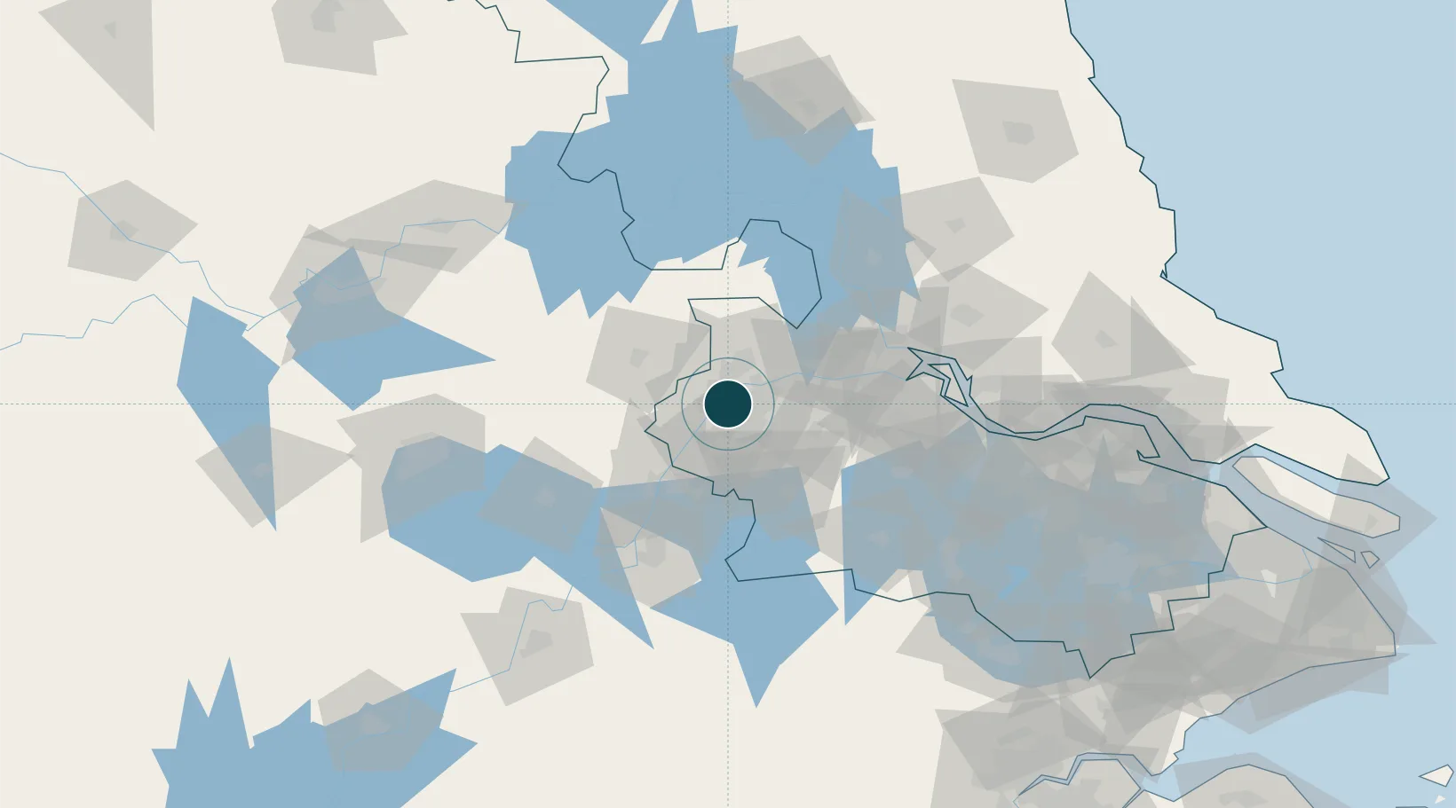
Location
Container Terminals · 2
NANJING PORT JIANGBEI CONTAINER TERMINAL
NJCT NANJING PORT JIANGBEI CONTAINER CO., LTD.
NANJING PORT LONGTAN
NPL NANJING PORT LONGTAN CONTAINER CO., LTD.
Nearby Logistics Neighbours
Airports
DatabookThe Record of Consolidated Knowledge
China beyond logistics?