Large airport · China

Ezhou Huahu International AirportZHEC
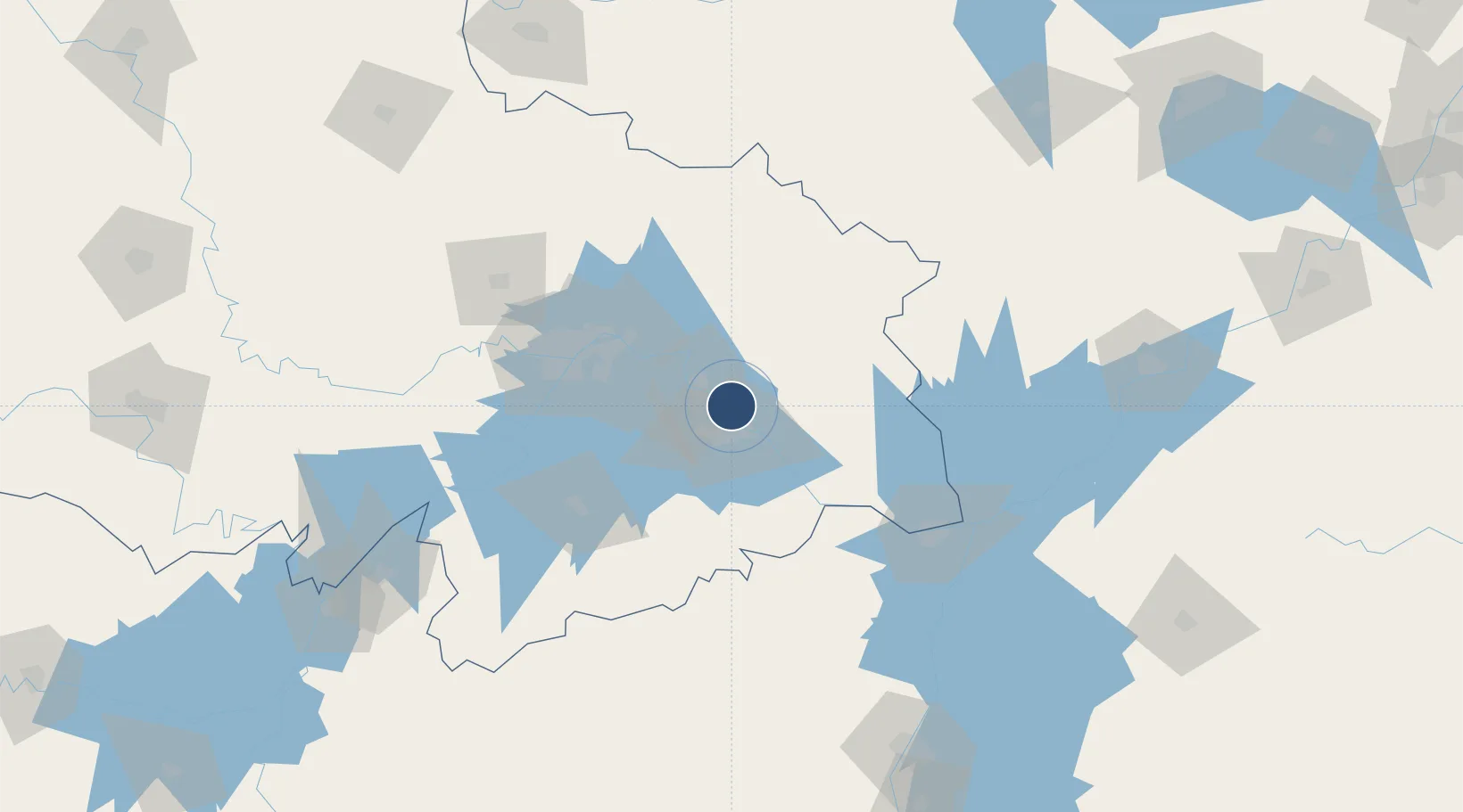
30.3412°, 115.0393°
11,811 ft
Longest runway
2
Runways
86 ft
Elevation

Runway & Layout

Ezhou Huahu International Airport runway & taxiway layout
Runway & taxiway layout — OpenStreetMap (ODbL) / OurAirports

Runways · 2

RunwayDimensions SurfaceTrue headingLit
01L/19R 11,811 × 148ft CONC
01R/19L 11,811 × 148ft CONC
OurAirports

Airport Specifications

IATA code
EHU
OurAirports
ICAO code
ZHEC
OurAirports
Airport class
Large airport
OurAirports
Scheduled service
Yes
OurAirports
Runway surface
CONC
OurAirports
Served city
Ezhou
OurAirports

Location

Location of ZHEC
Natural Earth 10m (public domain) · Hubei · ZHEC · 30.34, 115.04GoogleOSMYandex

Nearby Logistics Neighbours

Airports
  1. 1Paozhuwan Air Base54 km
  2. 2Shanpo Air Base75 km
  3. 3Wuhan Tianhe International Airport93 km
  4. 4Wuhan Hannan Municipal Airport94 km
  5. 5Jiujiang Lushan Airport121 km
Nearest neighbours — logibook spatial index (haversine) over the source coordinates
Cities
  1. 1Huangshi Pt17 km
  2. 2Ezhou22 km
  3. 3Wuhan77 km
  4. 4Hankou79 km
  5. 5Jiujiang112 km
Nearest neighbours — logibook spatial index (haversine) over the source coordinates
Ports
  1. 1Hankow77 km
  2. 2Nanjing403 km
  3. 3Zhenjiang467 km
  4. 4Yangzhou469 km
  5. 5Changzhou504 km
Nearest neighbours — logibook spatial index (haversine) over the source coordinates
DatabookThe Record of Consolidated Knowledge
China beyond logistics?
Browse databook

All Sources

AirportsOurAirports
Public domain
Portsthe NGA World Port Index
Public domain (US gov)
LocationsUN/LOCODE
UN/LOCODE — free
Trade Zonesthe World Bank SEZ database
CC BY 4.0
Trade ZonesOpen Zone Map
CC BY
InfrastructureOpenStreetMap
ODbL 1.0
← China airports