Transport Functions
Rail
Road
Hub Profile
Place type
Urban district
Region
Hubei
Time zone
Asia/Shanghai
Elevation
34 m
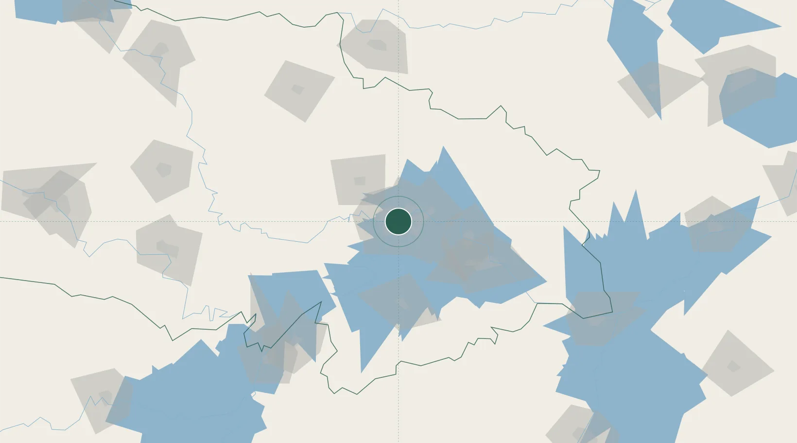
Location
Nearby Logistics Neighbours
Cities
- 1Wuhan2 km
- 2Ezhou57 km
- 3Huangshi Pt91 km
- 4Yueyang167 km
- 5Chenglingji Pt167 km
Airports
- 1Wuhan Tianhe International Airport22 km
- 2Paozhuwan Air Base36 km
- 3Wuhan Hannan Municipal Airport41 km
- 4Xiaogan Air Base53 km
- 5Shanpo Air Base55 km
DatabookThe Record of Consolidated Knowledge
China beyond logistics?