Runway & Layout

Airport Specifications
IATA code
WHN
Airport class
Medium airport
Scheduled service
No
Served city
Wuhan (Hannan)
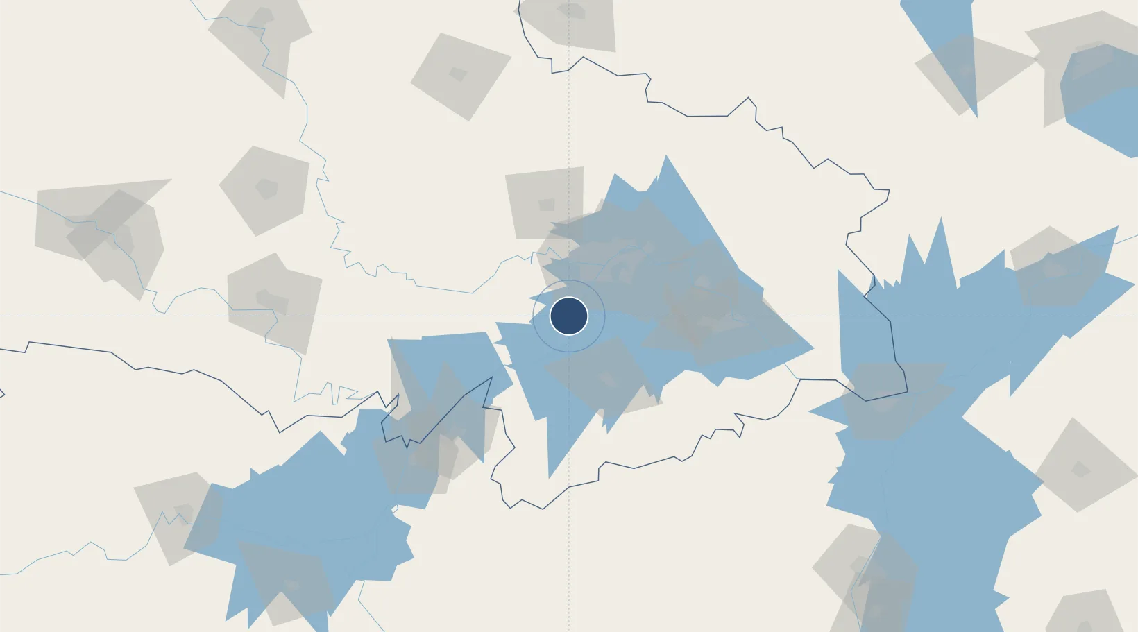
Location
Nearby Logistics Neighbours
Airports
- 1Shanpo Air Base31 km
- 2Wuhan Tianhe International Airport60 km
- 3Paozhuwan Air Base72 km
- 4Xiaogan Air Base79 km
- 5Ezhou Huahu International Airport94 km
Cities
- 1Hankou41 km
- 2Wuhan42 km
- 3Ezhou74 km
- 4Huangshi Pt100 km
- 5Yueyang126 km
Trade Zones
DatabookThe Record of Consolidated Knowledge
China beyond logistics?