Export Processing Zone · China

Qingshan Economic Development Zone Active
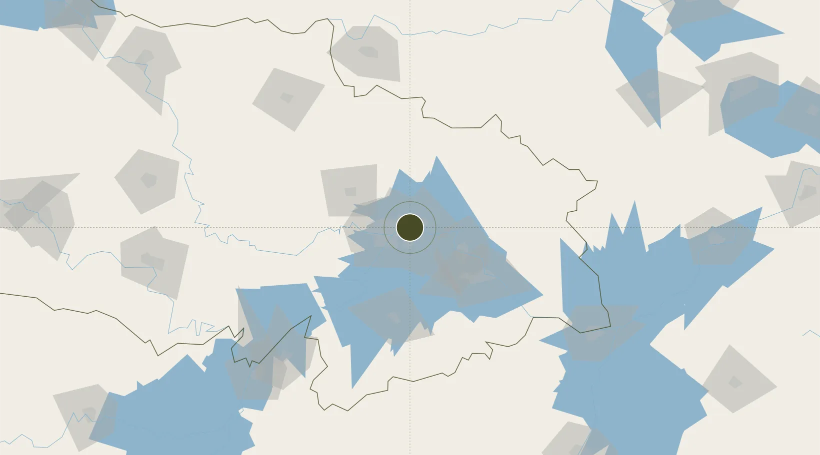
30.6334°, 114.4338°
380 ha
Zone area
15.4 km
Nearest port
19.4 km
Nearest airport

Gateway access

Nearest neighbours — logibook spatial index (haversine) over the source coordinates

Zone profile

Zone type
Export Processing Zone
Open Zone Map
Region
Hubei
Open Zone Map
Status
Active
Open Zone Map
Management
Public
Open Zone Map
Operator
Working Committee of Qingshan Economic Development Zone
Open Zone Map
Legal framework
A list of the latest planning of Wuhan Qingshan District in 2021
Open Zone Map

Location

Location of ozm-1114
Natural Earth 10m (public domain) · Hubei · ozm-1114 · 30.63, 114.43GoogleOSMYandex

Nearby Logistics Neighbours

Ports
  1. 1Hankow15 km
  2. 2Nanjing440 km
  3. 3Zhenjiang506 km
  4. 4Yangzhou508 km
  5. 5Gaogang545 km
Nearest neighbours — logibook spatial index (haversine) over the source coordinates
Airports
  1. 1Paozhuwan Air Base19 km
  2. 2Wuhan Tianhe International Airport26 km
  3. 3Wuhan Hannan Municipal Airport55 km
  4. 4Xiaogan Air Base61 km
  5. 5Shanpo Air Base62 km
Nearest neighbours — logibook spatial index (haversine) over the source coordinates
Cities
  1. 1Wuhan15 km
  2. 2Hankou17 km
  3. 3Ezhou45 km
  4. 4Huangshi Pt80 km
  5. 5Wulidian167 km
Nearest neighbours — logibook spatial index (haversine) over the source coordinates
Trade Zones
  1. 1Jiangan Economic Development Zone14 km
  2. 2Yangluo Economic Development Zone16 km
  3. 3Hongshan Economic Development Zone18 km
  4. 4Jianghan Economic Development Zone18 km
  5. 5Wuhan Export Processing Zone32 km
Nearest neighbours — logibook spatial index (haversine) over the source coordinates
DatabookThe Record of Consolidated Knowledge
China beyond logistics?
Browse databook

All Sources

Trade ZonesOpen Zone Map
CC BY
Portsthe NGA World Port Index
Public domain (US gov)
AirportsOurAirports
Public domain
LocationsUN/LOCODE
UN/LOCODE — free
← China trade zones