Export Processing Zone · China

Jianghan Economic Development Zone Active
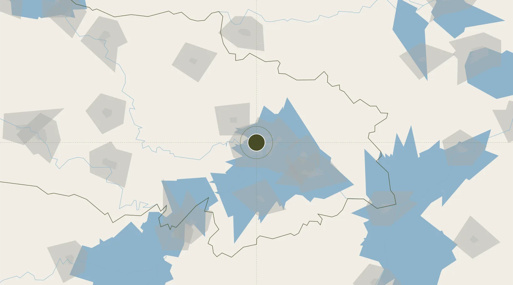
30.6312°, 114.2426°
70 ha
Zone area
6.6 km
Nearest port
16.2 km
Nearest airport

Gateway access

Nearest neighbours — logibook spatial index (haversine) over the source coordinates

Zone profile

Zone type
Export Processing Zone
Open Zone Map
Region
Hubei
Open Zone Map
Status
Active
Open Zone Map
Management
Public
Open Zone Map
Operator
Management Committee of Jianghan Economic Development Zone
Open Zone Map
Legal framework
Established in 1994
Open Zone Map

Location

Location of ozm-1034
Natural Earth 10m (public domain) · Hubei · ozm-1034 · 30.63, 114.24GoogleOSMYandex

Nearby Logistics Neighbours

Ports
  1. 1Hankow7 km
  2. 2Nanjing457 km
  3. 3Zhenjiang523 km
  4. 4Yangzhou525 km
  5. 5Gaogang563 km
Nearest neighbours — logibook spatial index (haversine) over the source coordinates
Airports
  1. 1Wuhan Tianhe International Airport16 km
  2. 2Paozhuwan Air Base37 km
  3. 3Wuhan Hannan Municipal Airport45 km
  4. 4Xiaogan Air Base48 km
  5. 5Shanpo Air Base61 km
Nearest neighbours — logibook spatial index (haversine) over the source coordinates
Cities
  1. 1Hankou6 km
  2. 2Wuhan7 km
  3. 3Ezhou61 km
  4. 4Huangshi Pt95 km
  5. 5Wulidian167 km
Nearest neighbours — logibook spatial index (haversine) over the source coordinates
Trade Zones
  1. 1Jiangan Economic Development Zone4 km
  2. 2Hongshan Economic Development Zone16 km
  3. 3Qingshan Economic Development Zone18 km
  4. 4Wuhan Export Processing Zone19 km
  5. 5Yangluo Economic Development Zone33 km
Nearest neighbours — logibook spatial index (haversine) over the source coordinates
DatabookThe Record of Consolidated Knowledge
China beyond logistics?
Browse databook

All Sources

Trade ZonesOpen Zone Map
CC BY
Portsthe NGA World Port Index
Public domain (US gov)
AirportsOurAirports
Public domain
LocationsUN/LOCODE
UN/LOCODE — free
← China trade zones