UN/LOCODE hub · China
CNNHN

Wuhan

30.5833°, 114.2833°
10,392,693
Population
4
Transport functions

Transport Functions

Port
Rail
Airport
Postal
UN/LOCODE

Hub Profile

Place type
Regional capital
GeoNames
Region
Hubei
GeoNames
Population
10,392,693
GeoNames
Time zone
Asia/Shanghai
GeoNames
Elevation
20 m
GeoNames
Logistics facilities
1
UN/LOCODE

Location

Location of CNNHN
Natural Earth 10m (public domain) · Hubei · CNNHN · 30.58, 114.28GoogleOSMYandex

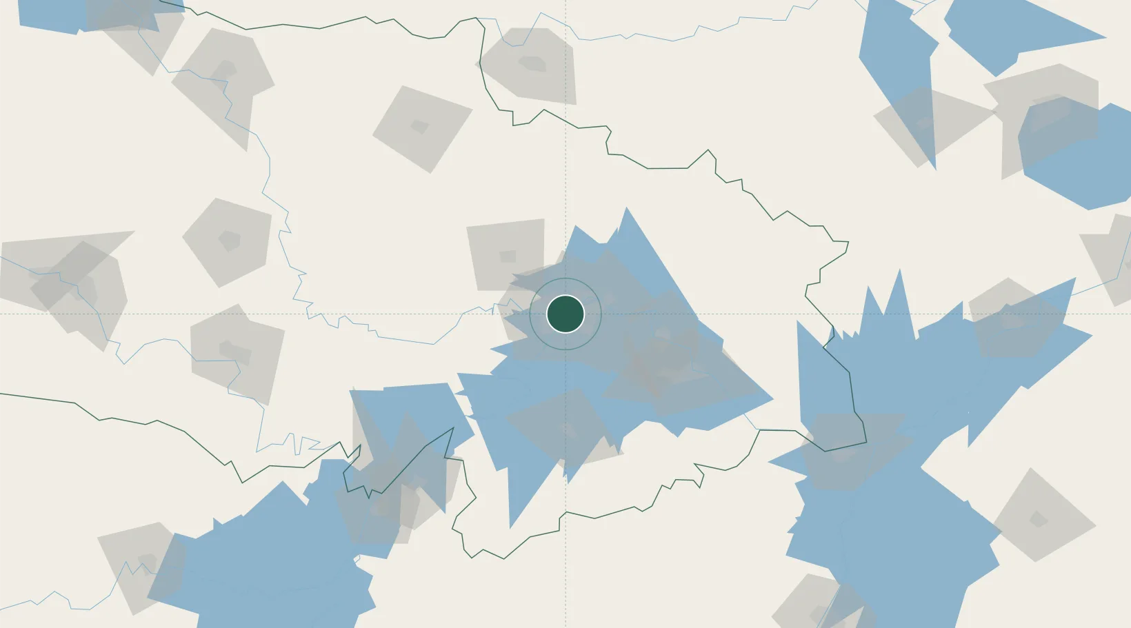
Nearby Logistics Neighbours

Cities
  1. 1Hankou2 km
  2. 2Ezhou55 km
  3. 3Huangshi Pt89 km
  4. 4Yueyang168 km
  5. 5Chenglingji Pt168 km
Nearest neighbours — logibook spatial index (haversine) over the source coordinates
Ports
  1. 1Hankow0 km
  2. 2Nanjing456 km
  3. 3Zhenjiang521 km
  4. 4Yangzhou523 km
  5. 5Gaogang561 km
Nearest neighbours — logibook spatial index (haversine) over the source coordinates
Airports
  1. 1Wuhan Tianhe International Airport22 km
  2. 2Paozhuwan Air Base35 km
  3. 3Wuhan Hannan Municipal Airport42 km
  4. 4Xiaogan Air Base54 km
  5. 5Shanpo Air Base55 km
Nearest neighbours — logibook spatial index (haversine) over the source coordinates
Trade Zones
  1. 1Jiangan Economic Development Zone6 km
  2. 2Jianghan Economic Development Zone7 km
  3. 3Hongshan Economic Development Zone10 km
  4. 4Qingshan Economic Development Zone15 km
  5. 5Wuhan Export Processing Zone17 km
Nearest neighbours — logibook spatial index (haversine) over the source coordinates
DatabookThe Record of Consolidated Knowledge
China beyond logistics?
Browse databook

All Sources

LocationsUN/LOCODE
UN/LOCODE — free
LocationsGeoNames
CC BY 4.0
Portsthe NGA World Port Index
Public domain (US gov)
AirportsOurAirports
Public domain
Trade Zonesthe World Bank SEZ database
CC BY 4.0
Trade ZonesOpen Zone Map
CC BY
← China locations