Diversified Zone · China
Xinxing County Industrial Transfer Industrial Park Active
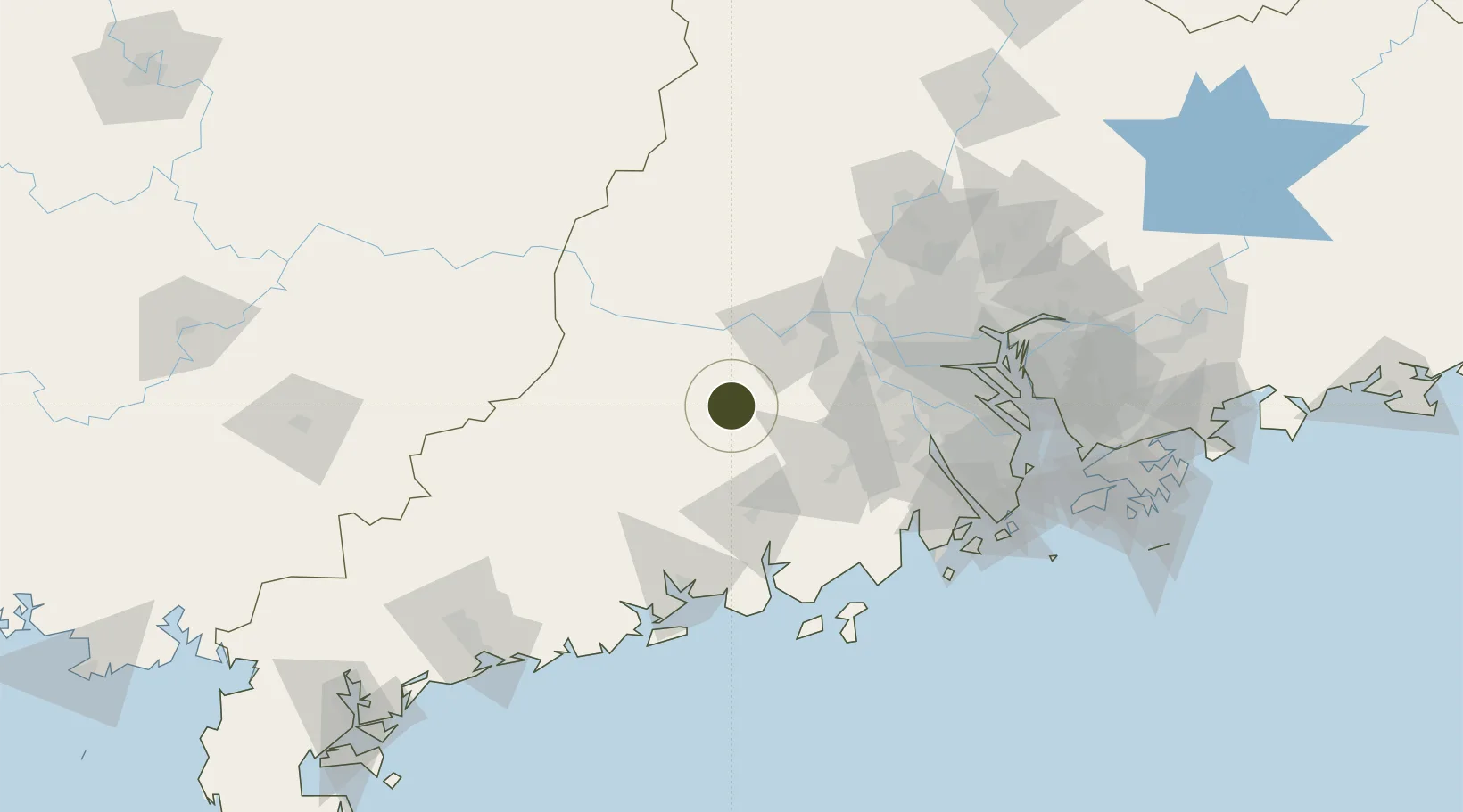
22.7158°, 112.2130°
1,000 ha
Zone area
113.6 km
Nearest port
96.9 km
Nearest airport
Gateway access
Zone profile
Zone type
Diversified Zone
Region
Guangdong
Status
Active
Management
Public
Operator
Xinxing County Industrial Transfer Industrial Park Management Committee
Legal framework
Established in April 2006, it is the "Industrial transfer industrial Park of Guangdong
Province" authorized by the provincial People's Government and approved
by the Provincial Economic and Trade Commission. It takes metal products as
the leading industry
Location
Nearby Logistics Neighbours
Ports
- 1Guangzhou114 km
- 2Huangpu130 km
- 3Huangpuxingang137 km
- 4Zhuhai151 km
- 5Macau151 km
Airports
- 1Foshan Shadi Airport97 km
- 2Guangzhou Baiyun International Airport134 km
- 3Wuzhou Xijiang Airport138 km
- 4Zhuhai Jinwan Airport143 km
- 5Macau International Airport155 km
DatabookThe Record of Consolidated Knowledge
China beyond logistics?