Diversified Zone · China

Chibi Economic Development Zone Active
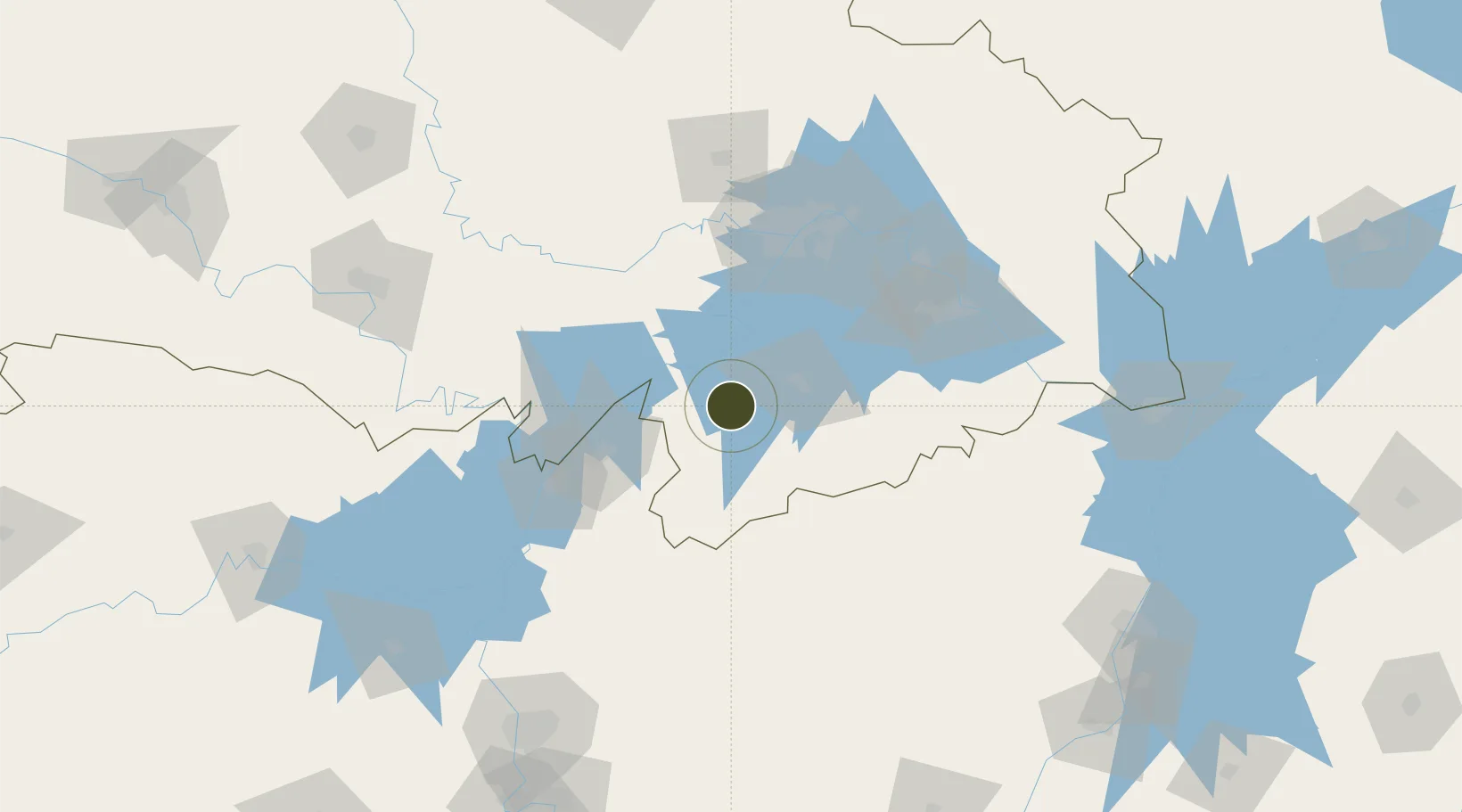
29.7527°, 113.9734°
800 ha
Zone area
97.0 km
Nearest port
49.6 km
Nearest airport

Gateway access

Nearest neighbours — logibook spatial index (haversine) over the source coordinates

Zone profile

Zone type
Diversified Zone
Open Zone Map
Region
Hubei
Open Zone Map
Status
Active
Open Zone Map
Management
Public
Open Zone Map
Operator
Management Committee of Chibi Economic Development Zone
Open Zone Map
Legal framework
It was established in July 2004
Open Zone Map

Location

Location of ozm-616
Natural Earth 10m (public domain) · Hubei · ozm-616 · 29.75, 113.97GoogleOSMYandex

Nearby Logistics Neighbours

Ports
  1. 1Hankow97 km
  2. 2Nanjing524 km
  3. 3Zhenjiang588 km
  4. 4Yangzhou591 km
  5. 5Changzhou624 km
Nearest neighbours — logibook spatial index (haversine) over the source coordinates
Airports
  1. 1Shanpo Air Base50 km
  2. 2Wuhan Hannan Municipal Airport57 km
  3. 3Yueyang Sanhe Airport83 km
  4. 4Wuhan Tianhe International Airport116 km
  5. 5Paozhuwan Air Base120 km
Nearest neighbours — logibook spatial index (haversine) over the source coordinates
Cities
  1. 1Yueyang86 km
  2. 2Chenglingji Pt87 km
  3. 3Hankou97 km
  4. 4Wuhan97 km
  5. 5Ezhou109 km
Nearest neighbours — logibook spatial index (haversine) over the source coordinates
Trade Zones
  1. 1Chongyang Industrial Park27 km
  2. 2Linxiang Industrial Park61 km
  3. 3Hannan Economic Development Zone67 km
  4. 4Yueyang Green Chemical Industrial Park74 km
  5. 5Xiantao Economic Development Zone81 km
Nearest neighbours — logibook spatial index (haversine) over the source coordinates
DatabookThe Record of Consolidated Knowledge
China beyond logistics?
Browse databook

All Sources

Trade ZonesOpen Zone Map
CC BY
Portsthe NGA World Port Index
Public domain (US gov)
AirportsOurAirports
Public domain
LocationsUN/LOCODE
UN/LOCODE — free
← China trade zones