UN/LOCODE hub · China
CNCLJ

Chenglingji Pt

29.4333°, 113.1500°
1
Transport functions

Transport Functions

Port
UN/LOCODE

Hub Profile

Region
HN
GeoNames

Location

Location of CNCLJ
Natural Earth 10m (public domain) · HN · CNCLJ · 29.43, 113.15GoogleOSMYandex

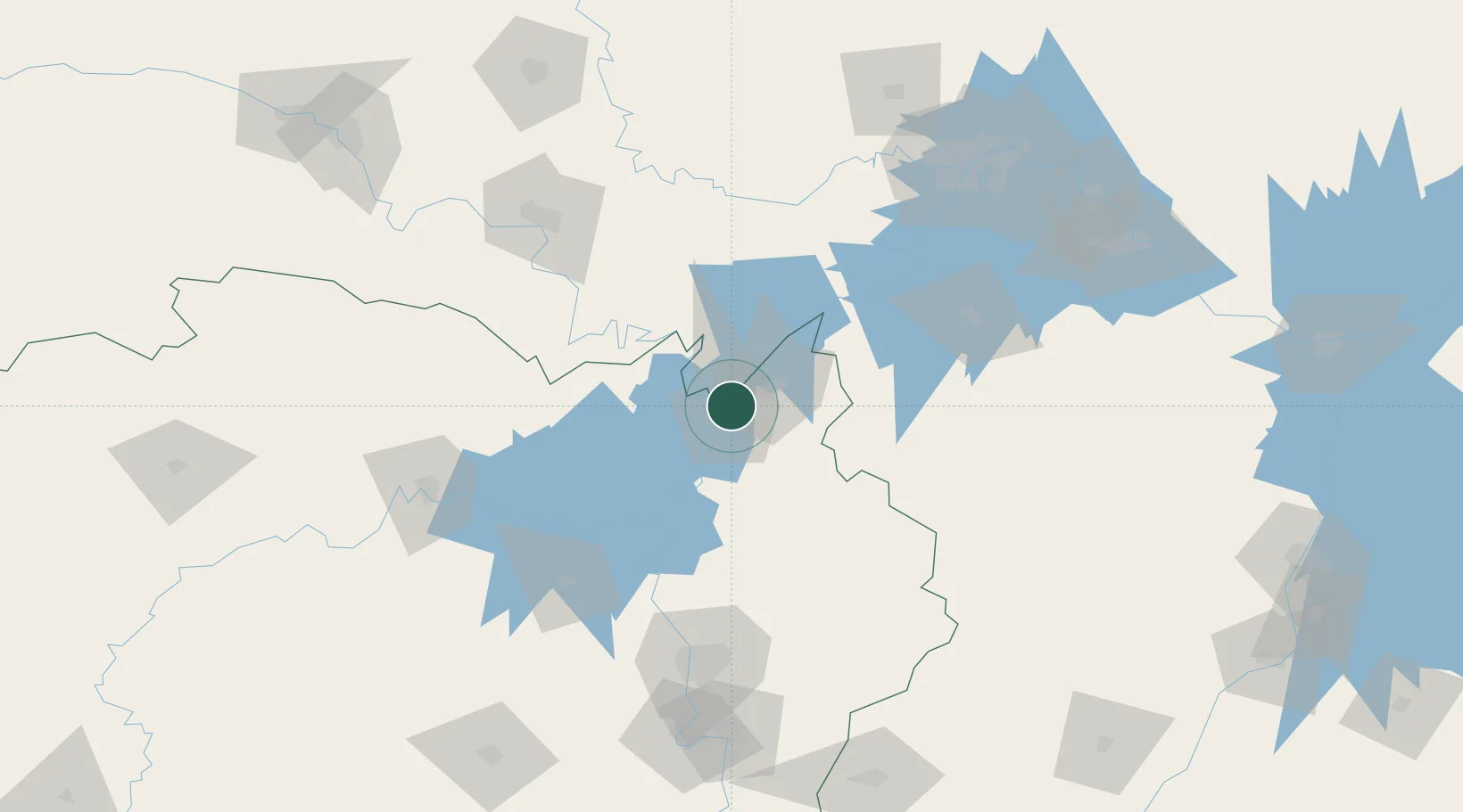
Nearby Logistics Neighbours

Cities
  1. 1Yueyang1 km
  2. 2Jingzhou Pt129 km
  3. 3Changsha138 km
  4. 4Changde149 km
  5. 5Hankou167 km
Nearest neighbours — logibook spatial index (haversine) over the source coordinates
Ports
  1. 1Hankow168 km
  2. 2Nanjing611 km
  3. 3Zhenjiang675 km
  4. 4Yangzhou677 km
  5. 5Guangzhou702 km
Nearest neighbours — logibook spatial index (haversine) over the source coordinates
Airports
  1. 1Yueyang Sanhe Airport19 km
  2. 2Jingzhou Shashi Airport117 km
  3. 3Wuhan Hannan Municipal Airport127 km
  4. 4Shanpo Air Base134 km
  5. 5Changsha Huanghua International Airport139 km
Nearest neighbours — logibook spatial index (haversine) over the source coordinates
Trade Zones
  1. 1Yueyang Green Chemical Industrial Park13 km
  2. 2Linxiang Industrial Park29 km
  3. 3Yueyang High-tech Industrial Park35 km
  4. 4Jianli Economic Development Zone49 km
  5. 5Huarong Industrial Concentration Zone60 km
Nearest neighbours — logibook spatial index (haversine) over the source coordinates
DatabookThe Record of Consolidated Knowledge
China beyond logistics?
Browse databook

All Sources

LocationsUN/LOCODE
UN/LOCODE — free
Portsthe NGA World Port Index
Public domain (US gov)
AirportsOurAirports
Public domain
Trade Zonesthe World Bank SEZ database
CC BY 4.0
Trade ZonesOpen Zone Map
CC BY
← China locations