Export Processing Zone · China

Xiantao Economic Development Zone Active
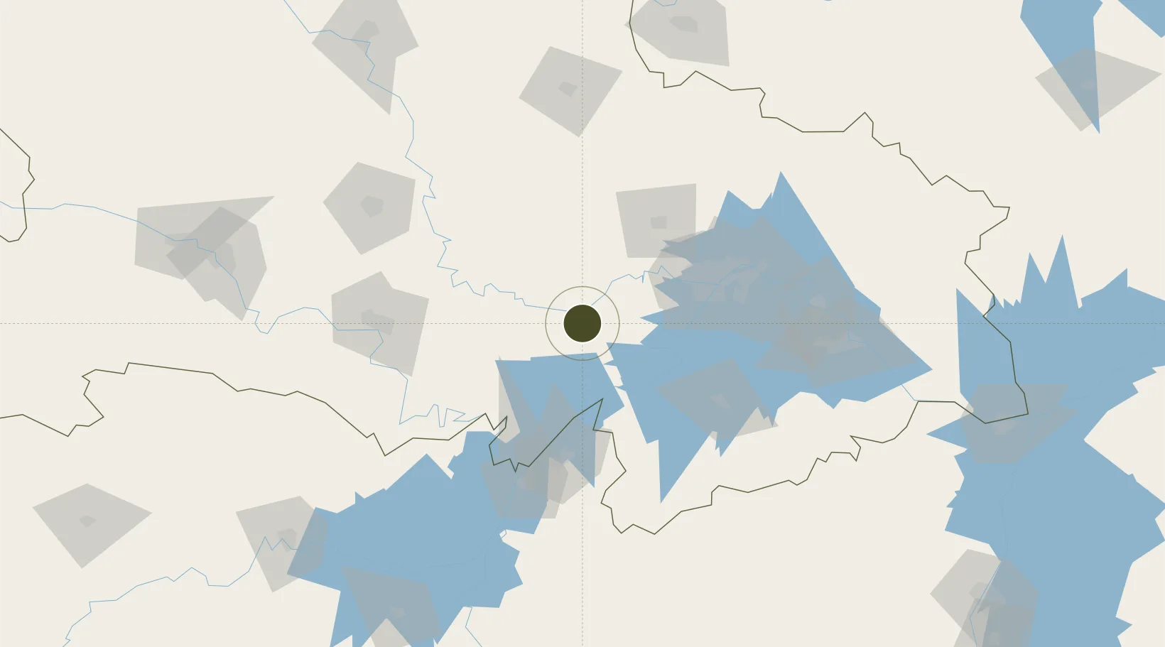
30.3329°, 113.4686°
2,244 ha
Zone area
82.9 km
Nearest port
57.7 km
Nearest airport

Gateway access

Nearest neighbours — logibook spatial index (haversine) over the source coordinates

Zone profile

Zone type
Export Processing Zone
Open Zone Map
Region
Hubei
Open Zone Map
Status
Active
Open Zone Map
Management
Public
Open Zone Map
Operator
Working Committee of Xiantao Economic Development Zone
Open Zone Map
Legal framework
The adjustment and improvement plan of the general land use Plan (2006-2020) of The Longhua Mountain Office in Xiantao city
Open Zone Map

Location

Location of ozm-1362
Natural Earth 10m (public domain) · Hubei · ozm-1362 · 30.33, 113.47GoogleOSMYandex

Nearby Logistics Neighbours

Ports
  1. 1Hankow83 km
  2. 2Nanjing539 km
  3. 3Zhenjiang604 km
  4. 4Yangzhou606 km
  5. 5Gaogang644 km
Nearest neighbours — logibook spatial index (haversine) over the source coordinates
Airports
  1. 1Wuhan Hannan Municipal Airport58 km
  2. 2Xiaogan Air Base81 km
  3. 3Shanpo Air Base86 km
  4. 4Wuhan Tianhe International Airport87 km
  5. 5Jingzhou Shashi Airport98 km
Nearest neighbours — logibook spatial index (haversine) over the source coordinates
Cities
  1. 1Hankou81 km
  2. 2Wuhan83 km
  3. 3Yueyang104 km
  4. 4Chenglingji Pt105 km
  5. 5Jingzhou Pt115 km
Nearest neighbours — logibook spatial index (haversine) over the source coordinates
Trade Zones
  1. 1Hannan Economic Development Zone60 km
  2. 2Wuhan Export Processing Zone68 km
  3. 3Jianli Economic Development Zone77 km
  4. 4Chibi Economic Development Zone81 km
  5. 5Jianghan Economic Development Zone81 km
Nearest neighbours — logibook spatial index (haversine) over the source coordinates
DatabookThe Record of Consolidated Knowledge
China beyond logistics?
Browse databook

All Sources

Trade ZonesOpen Zone Map
CC BY
Portsthe NGA World Port Index
Public domain (US gov)
AirportsOurAirports
Public domain
LocationsUN/LOCODE
UN/LOCODE — free
← China trade zones