Diversified Zone · China

Yueyang Green Chemical Industrial Park Active
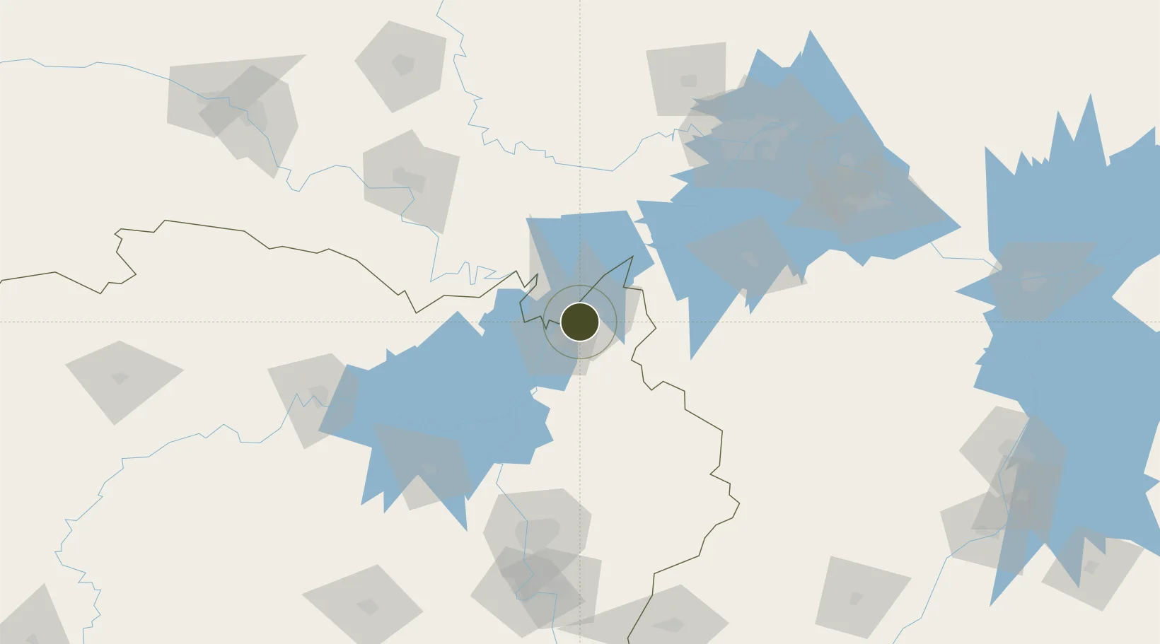
29.4835°, 113.2707°
7,000 ha
Zone area
156.4 km
Nearest port
19.1 km
Nearest airport

Gateway access

Nearest neighbours — logibook spatial index (haversine) over the source coordinates

Zone profile

Zone type
Diversified Zone
Open Zone Map
Region
Hunan
Open Zone Map
Status
Active
Open Zone Map
Management
Public
Open Zone Map
Operator
Management Commitiee
Open Zone Map
Legal framework
In August 2003, Hunan Provincial People's Government approved the establishment of a provincial economic and technological development zone
Open Zone Map

Location

Location of ozm-974
Natural Earth 10m (public domain) · Hunan · ozm-974 · 29.48, 113.27GoogleOSMYandex

Nearby Logistics Neighbours

Ports
  1. 1Hankow156 km
  2. 2Nanjing598 km
  3. 3Zhenjiang662 km
  4. 4Yangzhou664 km
  5. 5Changzhou698 km
Nearest neighbours — logibook spatial index (haversine) over the source coordinates
Airports
  1. 1Yueyang Sanhe Airport19 km
  2. 2Wuhan Hannan Municipal Airport115 km
  3. 3Jingzhou Shashi Airport120 km
  4. 4Shanpo Air Base121 km
  5. 5Changsha Huanghua International Airport144 km
Nearest neighbours — logibook spatial index (haversine) over the source coordinates
Cities
  1. 1Yueyang12 km
  2. 2Chenglingji Pt13 km
  3. 3Jingzhou Pt133 km
  4. 4Changsha145 km
  5. 5Hankou155 km
Nearest neighbours — logibook spatial index (haversine) over the source coordinates
Trade Zones
  1. 1Linxiang Industrial Park17 km
  2. 2Yueyang High-tech Industrial Park42 km
  3. 3Jianli Economic Development Zone51 km
  4. 4Huarong Industrial Concentration Zone71 km
  5. 5Junshan Industrial Concentration Zone71 km
Nearest neighbours — logibook spatial index (haversine) over the source coordinates
DatabookThe Record of Consolidated Knowledge
China beyond logistics?
Browse databook

All Sources

Trade ZonesOpen Zone Map
CC BY
Portsthe NGA World Port Index
Public domain (US gov)
AirportsOurAirports
Public domain
LocationsUN/LOCODE
UN/LOCODE — free
← China trade zones