Export Processing Zone · China

Chongyang Industrial Park Active
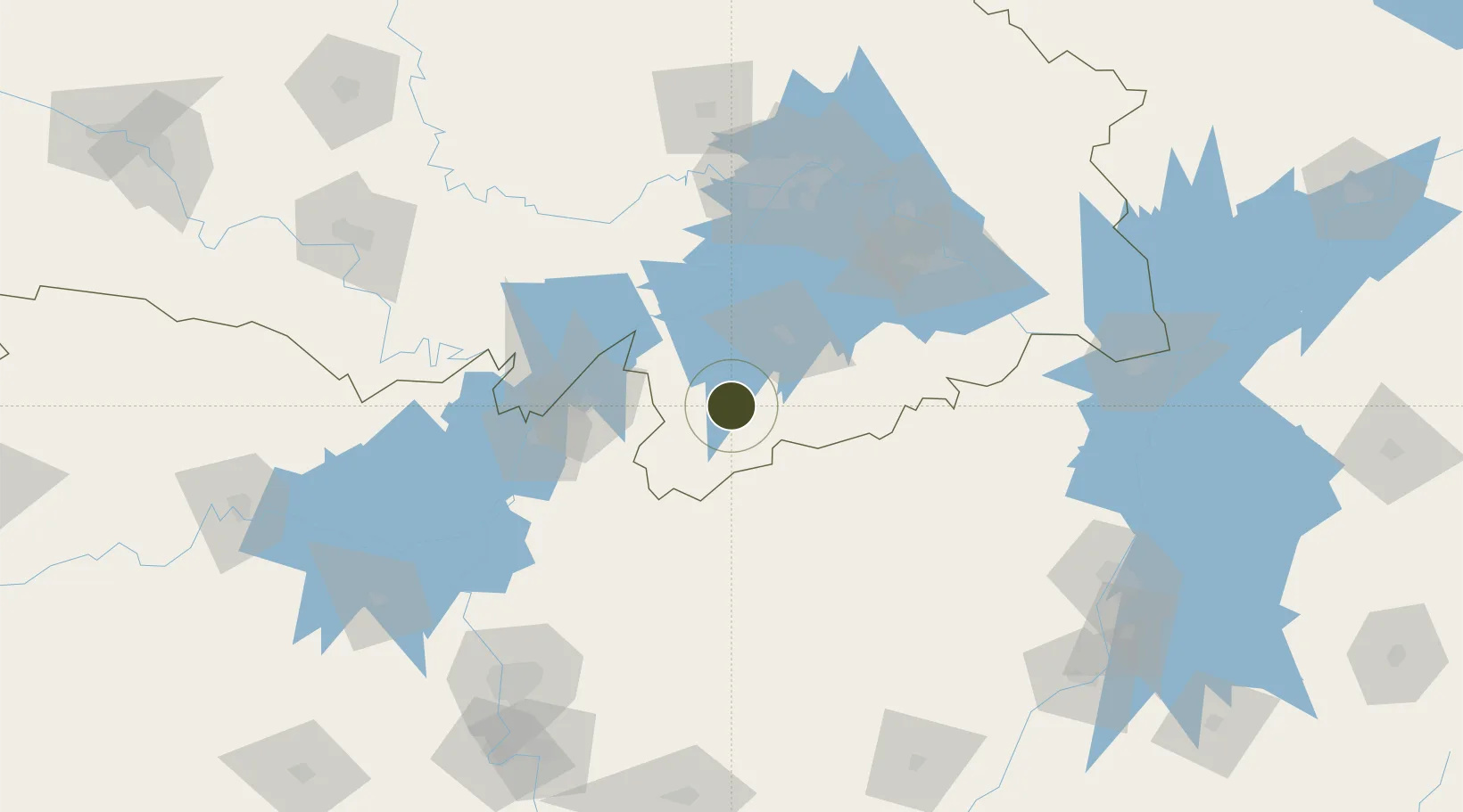
29.5209°, 114.0498°
1,500 ha
Zone area
120.3 km
Nearest port
68.0 km
Nearest airport

Gateway access

Nearest neighbours — logibook spatial index (haversine) over the source coordinates

Zone profile

Zone type
Export Processing Zone
Open Zone Map
Region
Hubei
Open Zone Map
Status
Active
Open Zone Map
Management
Public
Open Zone Map
Operator
Working Committee of Chongyang Industrial Park
Open Zone Map
Legal framework
Chongyang County industrial park planning and investment report
Open Zone Map

Location

Location of ozm-1321
Natural Earth 10m (public domain) · Hubei · ozm-1321 · 29.52, 114.05GoogleOSMYandex

Nearby Logistics Neighbours

Ports
  1. 1Hankow120 km
  2. 2Nanjing532 km
  3. 3Zhenjiang595 km
  4. 4Yangzhou597 km
  5. 5Changzhou629 km
Nearest neighbours — logibook spatial index (haversine) over the source coordinates
Airports
  1. 1Shanpo Air Base68 km
  2. 2Yueyang Sanhe Airport78 km
  3. 3Wuhan Hannan Municipal Airport82 km
  4. 4Ezhou Huahu International Airport132 km
  5. 5Paozhuwan Air Base140 km
Nearest neighbours — logibook spatial index (haversine) over the source coordinates
Cities
  1. 1Yueyang87 km
  2. 2Chenglingji Pt88 km
  3. 3Hankou120 km
  4. 4Wuhan120 km
  5. 5Ezhou123 km
Nearest neighbours — logibook spatial index (haversine) over the source coordinates
Trade Zones
  1. 1Chibi Economic Development Zone27 km
  2. 2Linxiang Industrial Park59 km
  3. 3Yueyang Green Chemical Industrial Park76 km
  4. 4Hannan Economic Development Zone92 km
  5. 5Yueyang High-tech Industrial Park98 km
Nearest neighbours — logibook spatial index (haversine) over the source coordinates
DatabookThe Record of Consolidated Knowledge
China beyond logistics?
Browse databook

All Sources

Trade ZonesOpen Zone Map
CC BY
Portsthe NGA World Port Index
Public domain (US gov)
AirportsOurAirports
Public domain
LocationsUN/LOCODE
UN/LOCODE — free
← China trade zones