UN/LOCODE hub · China
CNYYA

Yueyang

29.4331°, 113.1591°
3
Transport functions

Transport Functions

Port
Road
Multimodal
UN/LOCODE

Hub Profile

Place type
Provincial seat
GeoNames
Region
Hunan
GeoNames
Time zone
Asia/Shanghai
GeoNames
Elevation
43 m
GeoNames
Logistics facilities
3
UN/LOCODE

Location

Location of CNYYA
Natural Earth 10m (public domain) · Hunan · CNYYA · 29.43, 113.16GoogleOSMYandex

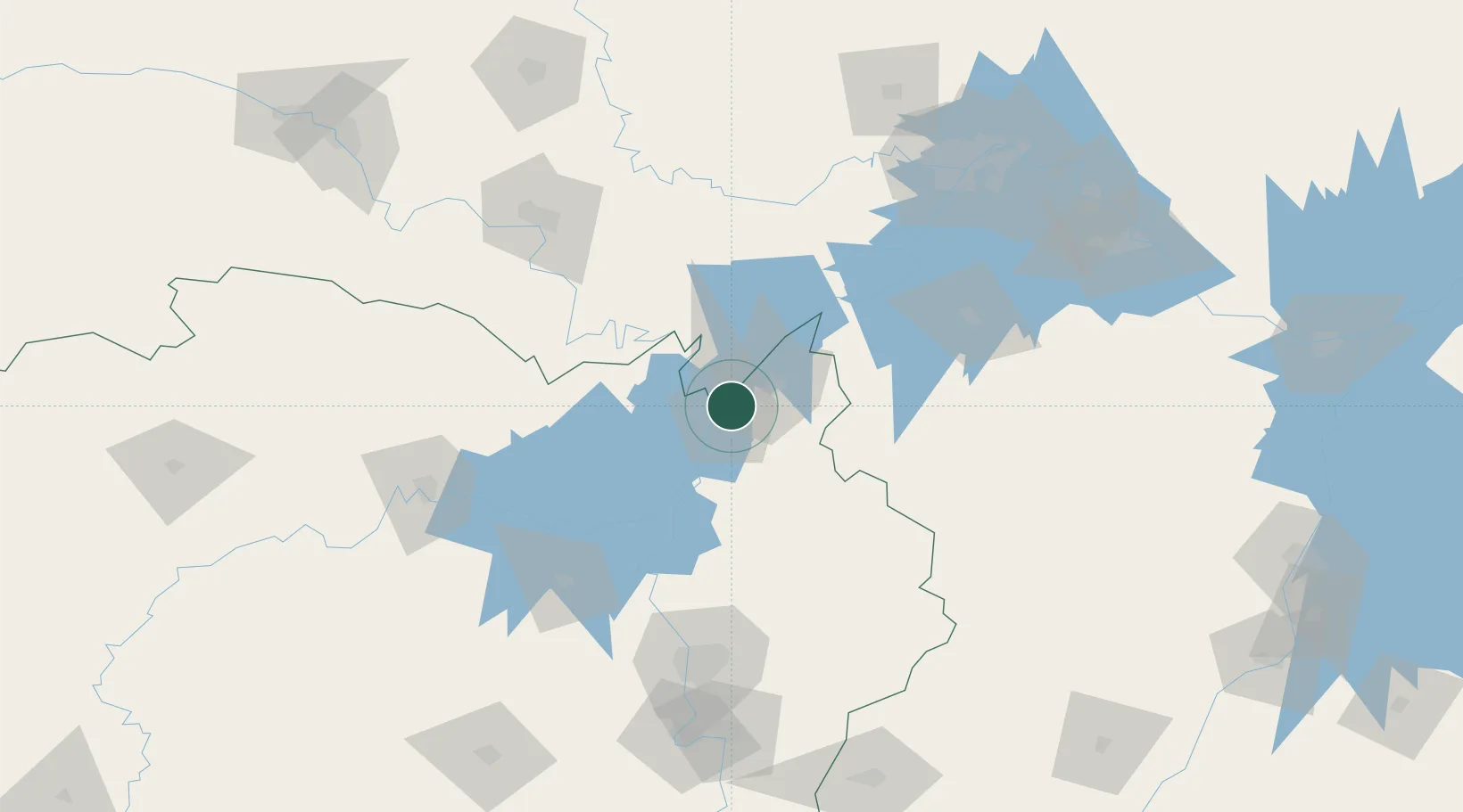
Nearby Logistics Neighbours

Cities
  1. 1Chenglingji Pt1 km
  2. 2Jingzhou Pt129 km
  3. 3Changsha138 km
  4. 4Changde150 km
  5. 5Hankou167 km
Nearest neighbours — logibook spatial index (haversine) over the source coordinates
Ports
  1. 1Hankow168 km
  2. 2Nanjing610 km
  3. 3Zhenjiang674 km
  4. 4Yangzhou677 km
  5. 5Guangzhou702 km
Nearest neighbours — logibook spatial index (haversine) over the source coordinates
Airports
  1. 1Yueyang Sanhe Airport18 km
  2. 2Jingzhou Shashi Airport118 km
  3. 3Wuhan Hannan Municipal Airport126 km
  4. 4Shanpo Air Base133 km
  5. 5Changsha Huanghua International Airport138 km
Nearest neighbours — logibook spatial index (haversine) over the source coordinates
Trade Zones
  1. 1Yueyang Green Chemical Industrial Park12 km
  2. 2Linxiang Industrial Park28 km
  3. 3Yueyang High-tech Industrial Park35 km
  4. 4Jianli Economic Development Zone50 km
  5. 5Huarong Industrial Concentration Zone61 km
Nearest neighbours — logibook spatial index (haversine) over the source coordinates
DatabookThe Record of Consolidated Knowledge
China beyond logistics?
Browse databook

All Sources

LocationsUN/LOCODE
UN/LOCODE — free
Portsthe NGA World Port Index
Public domain (US gov)
AirportsOurAirports
Public domain
Trade Zonesthe World Bank SEZ database
CC BY 4.0
Trade ZonesOpen Zone Map
CC BY
← China locations