Free Trade Zone · China

Hannan Economic Development Zone Active
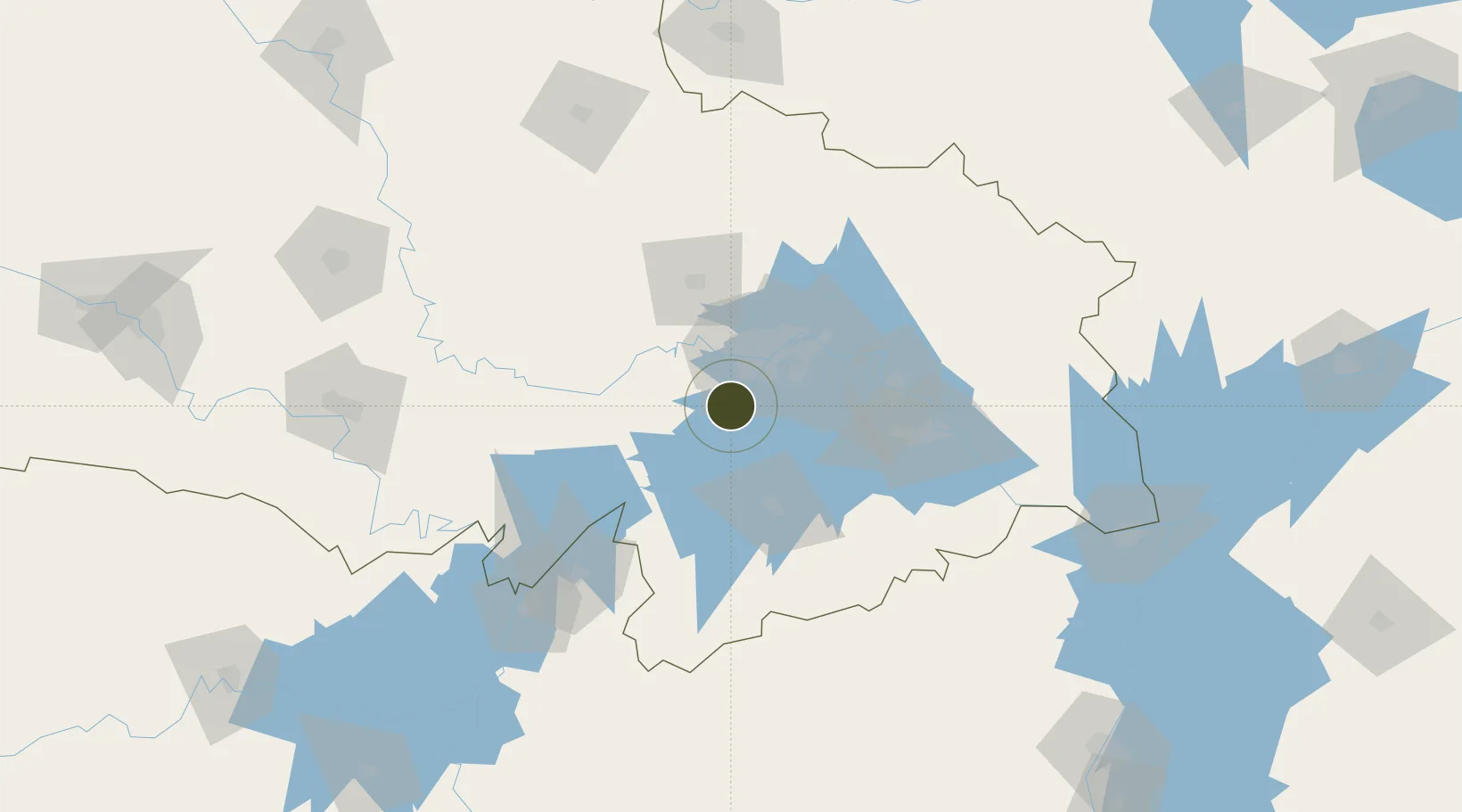
30.3425°, 114.0978°
149 ha
Zone area
32.1 km
Nearest port
10.3 km
Nearest airport

Gateway access

Nearest neighbours — logibook spatial index (haversine) over the source coordinates

Zone profile

Zone type
Free Trade Zone
Open Zone Map
Region
Hubei
Open Zone Map
Status
Active
Open Zone Map
Management
Public
Open Zone Map
Operator
Management Committee of Hannan Economic Development Zone
Open Zone Map
Legal framework
Hannan Economic development Zone was established in 1992 with the approval of Wuhan Municipal People's Government with the document No. 70 of Wuzheng [1992]
Open Zone Map

Location

Location of ozm-1494
Natural Earth 10m (public domain) · Hubei · ozm-1494 · 30.34, 114.10GoogleOSMYandex

Nearby Logistics Neighbours

Ports
  1. 1Hankow32 km
  2. 2Nanjing483 km
  3. 3Zhenjiang548 km
  4. 4Yangzhou550 km
  5. 5Gaogang587 km
Nearest neighbours — logibook spatial index (haversine) over the source coordinates
Airports
  1. 1Wuhan Hannan Municipal Airport10 km
  2. 2Shanpo Air Base35 km
  3. 3Wuhan Tianhe International Airport49 km
  4. 4Paozhuwan Air Base63 km
  5. 5Xiaogan Air Base70 km
Nearest neighbours — logibook spatial index (haversine) over the source coordinates
Cities
  1. 1Hankou31 km
  2. 2Wuhan32 km
  3. 3Ezhou69 km
  4. 4Huangshi Pt98 km
  5. 5Yueyang136 km
Nearest neighbours — logibook spatial index (haversine) over the source coordinates
Trade Zones
  1. 1Wuhan Export Processing Zone16 km
  2. 2Hongshan Economic Development Zone28 km
  3. 3Jianghan Economic Development Zone35 km
  4. 4Jiangan Economic Development Zone37 km
  5. 5Qingshan Economic Development Zone46 km
Nearest neighbours — logibook spatial index (haversine) over the source coordinates
DatabookThe Record of Consolidated Knowledge
China beyond logistics?
Browse databook

All Sources

Trade ZonesOpen Zone Map
CC BY
Portsthe NGA World Port Index
Public domain (US gov)
AirportsOurAirports
Public domain
LocationsUN/LOCODE
UN/LOCODE — free
← China trade zones