Seaport · China
ChangzhouCNCZX
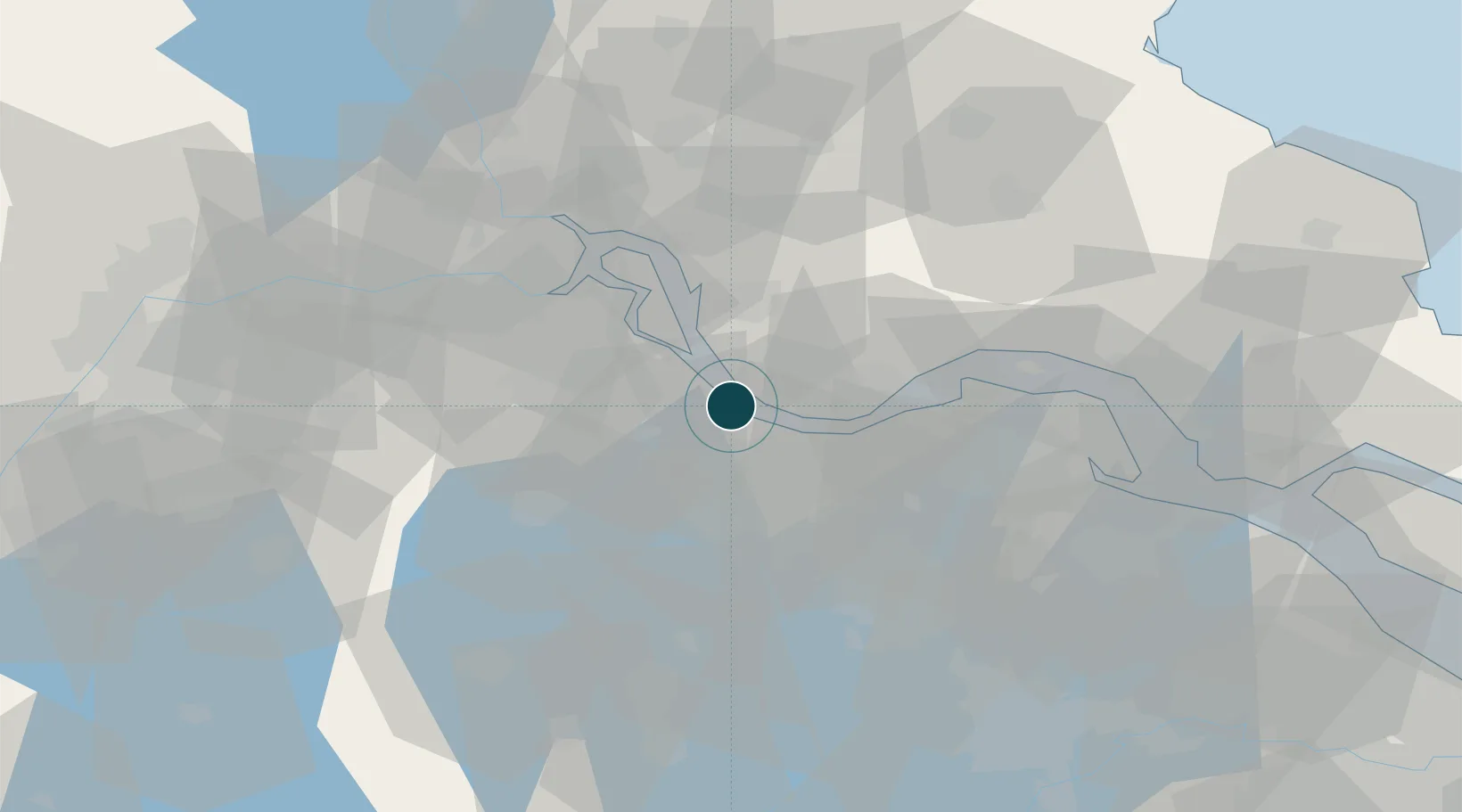
31.9667°, 119.9833°
9.4 m
Channel depth
1
Container terminals
15.1
Port liner connectivity
Channel & Berth Profile
Pilotage, Tugs & Services
Pilotage compulsoryYES
Pilotage availableYES
Tug assistanceYES
Potable waterYES
Facilities & Capabilities
Container—
Ro-Ro—
Liquid bulk—
Dry bulk—
Oil terminal—
Break bulk—
Dry dock—
RepairsNO
BunkeringYES
Rail link—
Dangerous cargo—
ISPS security—
Harbour Specifications
Harbour size
Small
Harbour type
Open Roadstead
Shelter
Poor
Water body
East China Sea; North Pacific Ocean
Tidal range
2 m
Overhead limit
Yes
Pilotage
Yes
Liner Connectivity
15.1
PLSCI
Port Liner Shipping Connectivity Index for Changzhou, as published by UNCTAD for the latest available quarter. Higher values indicate stronger scheduled liner-shipping integration.
Shown relative to the highest per-port PLSCI in the dataset (1,657.9).
Location
Container Terminals · 1
CHANGZHOU CONTAINER TERMINAL
CCT CHANGZHOU LUANZHOU YANGTZE RIVER TERMINAL CO., LTD.
Nearby Logistics Neighbours
Ports
- 1Jiangyin24 km
- 2Gaogang37 km
- 3Zhangjiangang39 km
- 4Zhenjiang59 km
- 5Yangzhou62 km
Cities
- 1Wuxi20 km
- 2Jiangyin Pt21 km
- 3Chengxi24 km
- 4Jingjiang29 km
- 5Yangzhong32 km
Airports
DatabookThe Record of Consolidated Knowledge
China beyond logistics?