Export Processing Zone · China

Linxiang Industrial Park Active
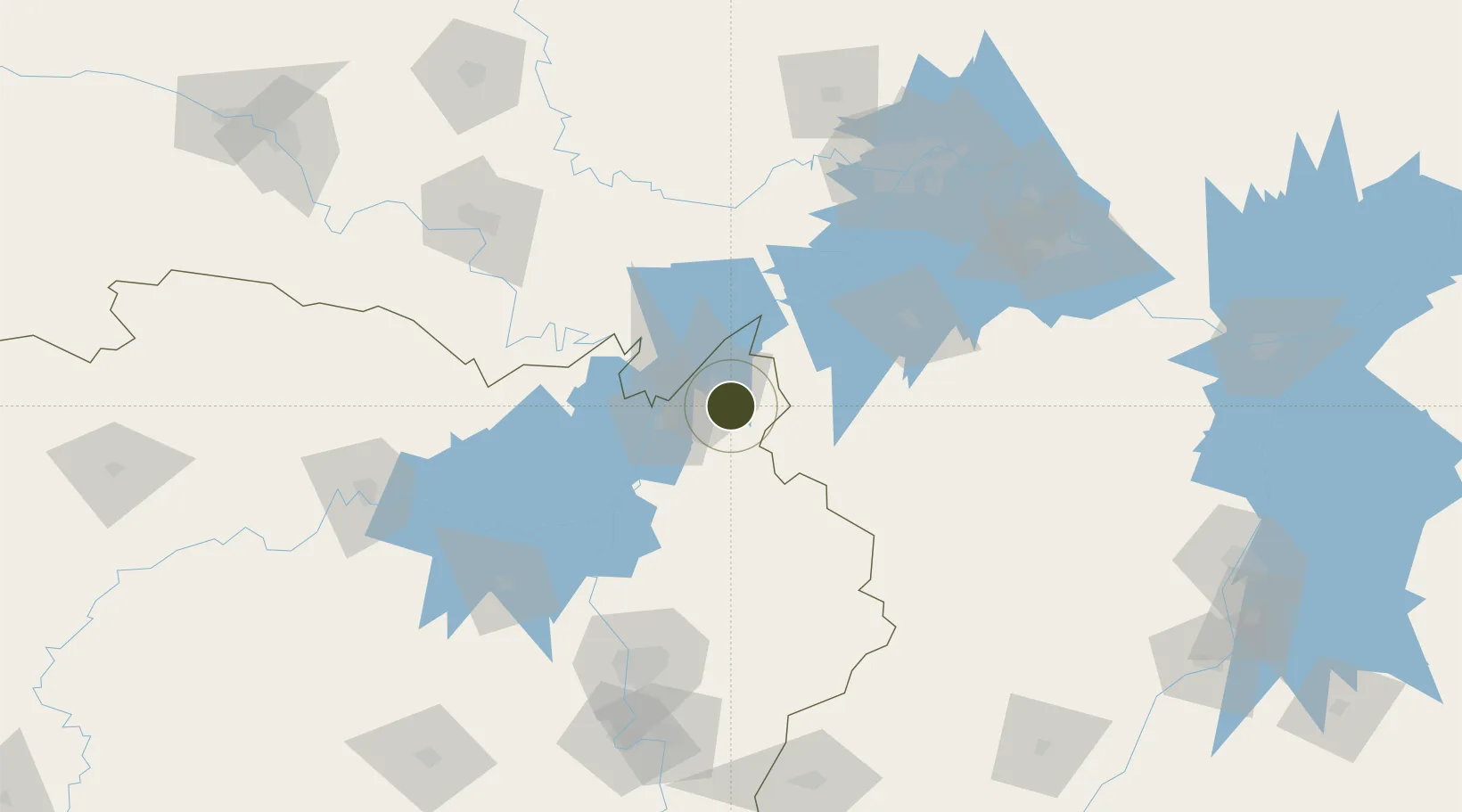
29.4463°, 113.4448°
150 ha
Zone area
150.0 km
Nearest port
21.8 km
Nearest airport

Gateway access

Nearest neighbours — logibook spatial index (haversine) over the source coordinates

Zone profile

Zone type
Export Processing Zone
Open Zone Map
Region
Hunan
Open Zone Map
Status
Active
Open Zone Map
Management
Public
Open Zone Map
Operator
Working Committee of Linxiang Industrial Park
Open Zone Map
Legal framework
Combined Heat and Power Generation Planning of Binjiang Industrial Zone, Linxiang Industrial Park (2020 -- 2025)
Open Zone Map

Location

Location of ozm-1047
Natural Earth 10m (public domain) · Hunan · ozm-1047 · 29.45, 113.44GoogleOSMYandex

Nearby Logistics Neighbours

Ports
  1. 1Hankow150 km
  2. 2Nanjing586 km
  3. 3Zhenjiang649 km
  4. 4Yangzhou652 km
  5. 5Changzhou685 km
Nearest neighbours — logibook spatial index (haversine) over the source coordinates
Airports
  1. 1Yueyang Sanhe Airport22 km
  2. 2Wuhan Hannan Municipal Airport108 km
  3. 3Shanpo Air Base110 km
  4. 4Jingzhou Shashi Airport135 km
  5. 5Changsha Huanghua International Airport142 km
Nearest neighbours — logibook spatial index (haversine) over the source coordinates
Cities
  1. 1Yueyang28 km
  2. 2Chenglingji Pt29 km
  3. 3Changsha146 km
  4. 4Jingzhou Pt148 km
  5. 5Hankou149 km
Nearest neighbours — logibook spatial index (haversine) over the source coordinates
Trade Zones
  1. 1Yueyang Green Chemical Industrial Park17 km
  2. 2Yueyang High-tech Industrial Park46 km
  3. 3Chongyang Industrial Park59 km
  4. 4Chibi Economic Development Zone61 km
  5. 5Jianli Economic Development Zone66 km
Nearest neighbours — logibook spatial index (haversine) over the source coordinates
DatabookThe Record of Consolidated Knowledge
China beyond logistics?
Browse databook

All Sources

Trade ZonesOpen Zone Map
CC BY
Portsthe NGA World Port Index
Public domain (US gov)
AirportsOurAirports
Public domain
LocationsUN/LOCODE
UN/LOCODE — free
← China trade zones