Diversified Zone · China

Daan City Economic Development Zone Active
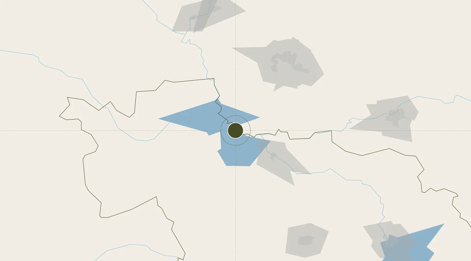
45.5154°, 124.2737°
523 ha
Zone area
562.2 km
Nearest port
68.5 km
Nearest airport

Gateway access

Nearest neighbours — logibook spatial index (haversine) over the source coordinates

Zone profile

Zone type
Diversified Zone
Open Zone Map
Region
Jilin
Open Zone Map
Status
Active
Open Zone Map
Management
Public
Open Zone Map
Operator
Working Committee of Da'an City Economic Development Zone
Open Zone Map
Legal framework
Da 'an Investment Planning and Construction Program
Open Zone Map

Location

Location of ozm-546
Natural Earth 10m (public domain) · Jilin · ozm-546 · 45.52, 124.27GoogleOSMYandex

Nearby Logistics Neighbours

Ports
  1. 1Yingkou562 km
  2. 2Jinzhou Wan589 km
  3. 3Huludao Gang598 km
  4. 4Najin605 km
  5. 5Bayuquan607 km
Nearest neighbours — logibook spatial index (haversine) over the source coordinates
Airports
  1. 1Songyuan Chaganhu Airport69 km
  2. 2Baicheng Chang'an Airport98 km
  3. 3Daqing Sartu Airport153 km
  4. 4Harbin Taiping International Airport154 km
  5. 5Ulanhot Yilelite Airport191 km
Nearest neighbours — logibook spatial index (haversine) over the source coordinates
Cities
  1. 1Baicheng117 km
  2. 2Zhaodong146 km
  3. 3Daqing146 km
  4. 4Vladivostok147 km
  5. 5Dehui157 km
Nearest neighbours — logibook spatial index (haversine) over the source coordinates
Trade Zones
  1. 1Chagan Lake Tourism Economic Development Zone63 km
  2. 2Zhaozhou Economic Development Zone86 km
  3. 3Taonan Economic Development Zone115 km
  4. 4Tailai Industrial Demonstration Base119 km
  5. 5Zhaodong Economic Development Zone145 km
Nearest neighbours — logibook spatial index (haversine) over the source coordinates
DatabookThe Record of Consolidated Knowledge
China beyond logistics?
Browse databook

All Sources

Trade ZonesOpen Zone Map
CC BY
Portsthe NGA World Port Index
Public domain (US gov)
AirportsOurAirports
Public domain
LocationsUN/LOCODE
UN/LOCODE — free
← China trade zones