Transport Functions
Rail
Road
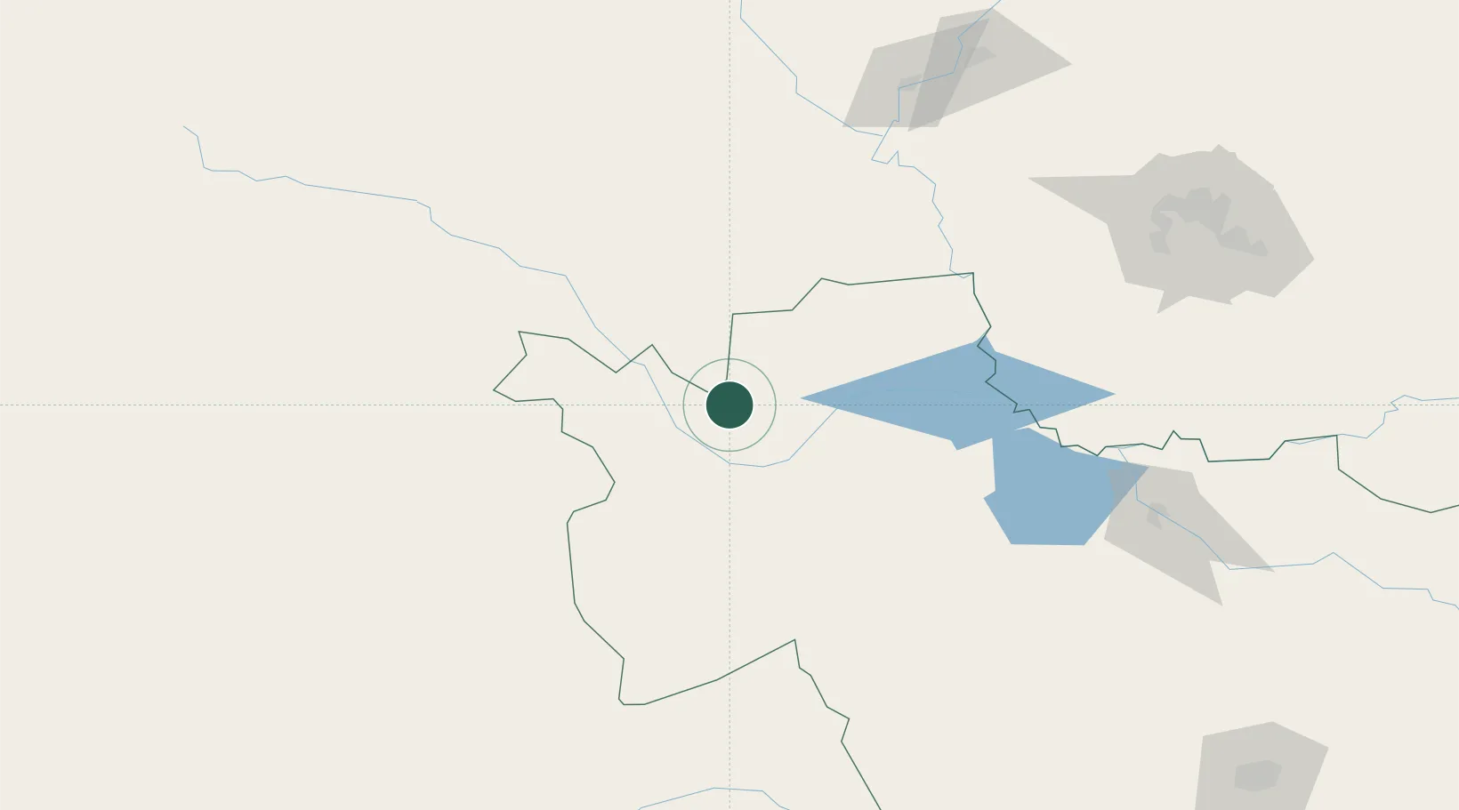
Hub Profile
Place type
Provincial seat
Region
Jilin
Population
316,970
Time zone
Asia/Shanghai
Elevation
150 m
Logistics facilities
1
Location
Nearby Logistics Neighbours
Cities
- 1Ulan Hot72 km
- 2Vladivostok105 km
- 3Daqing187 km
- 4Tongliao Apt246 km
- 5Zhaodong252 km
Ports
- 1Yingkou555 km
- 2Jinzhou Wan563 km
- 3Huludao Gang570 km
- 4Bayuquan598 km
- 5Dandong659 km
Airports
- 1Baicheng Chang'an Airport25 km
- 2Ulanhot Yilelite Airport85 km
- 3Songyuan Chaganhu Airport160 km
- 4Qiqihar Sanjiazi Airport195 km
- 5Daqing Sartu Airport218 km
DatabookThe Record of Consolidated Knowledge
China beyond logistics?