Medium airport · China
Songyuan Chaganhu AirportZYSQ
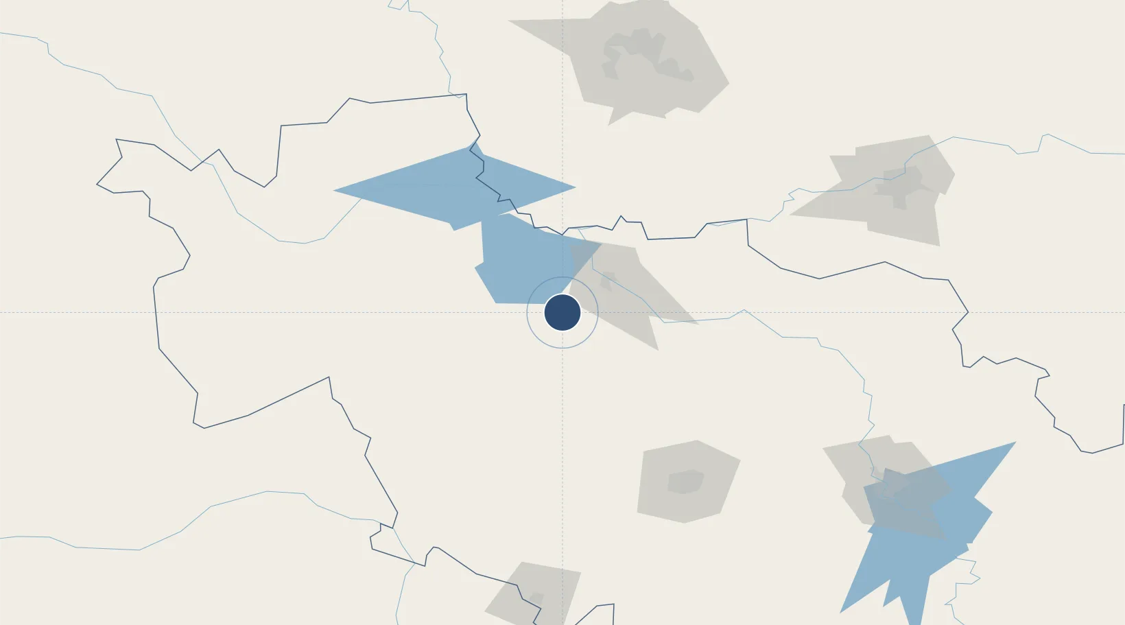
44.9311°, 124.5521°
8,202 ft
Longest runway
1
Runways
459 ft
Elevation
Runway & Layout

Runways · 1
| Runway | Dimensions | Surface | True heading | Lit |
|---|---|---|---|---|
| 04/22 | 8,202 × 148ft | — | — | — |
Airport Specifications
IATA code
YSQ
ICAO code
ZYSQ
Airport class
Medium airport
Scheduled service
Yes
Served city
Qian Gorlos Mongol Autonomous County
Location
Nearby Logistics Neighbours
Airports
- 1Changchun Air Base125 km
- 2Baicheng Chang'an Airport136 km
- 3Changchun Longjia International Airport137 km
- 4Harbin Taiping International Airport154 km
- 5Gongzhuling Air Base157 km
Cities
- 1Dehui101 km
- 2Changchun130 km
- 3Vladivostok142 km
- 4Shuangcheng144 km
- 5Baicheng160 km
Ports
- 1Yingkou509 km
- 2Jinzhou Wan543 km
- 3Najin552 km
- 4Ch'ongjin552 km
- 5Bayuquan553 km
DatabookThe Record of Consolidated Knowledge
China beyond logistics?