UN/LOCODE hub · China
CNZDO

Zhaodong

46.0667°, 125.9833°
154,406
Population
4
Transport functions

Transport Functions

Port
Rail
Road
Multimodal
UN/LOCODE

Hub Profile

Place type
District seat
GeoNames
Region
Heilongjiang
GeoNames
Population
154,406
GeoNames
Time zone
Asia/Shanghai
GeoNames
Elevation
143 m
GeoNames

Location

Location of CNZDO
Natural Earth 10m (public domain) · Heilongjiang · CNZDO · 46.07, 125.98GoogleOSMYandex

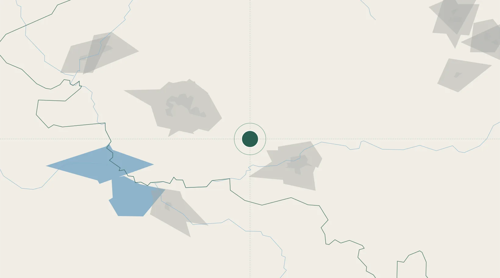
Nearby Logistics Neighbours

Cities
  1. 1Harbin60 km
  2. 2Shuangcheng83 km
  3. 3Bayan109 km
  4. 4Daqing138 km
  5. 5Dehui172 km
Nearest neighbours — logibook spatial index (haversine) over the source coordinates
Ports
  1. 1Pos'yet539 km
  2. 2Najin548 km
  3. 3Zarubino557 km
  4. 4Slavyanka557 km
  5. 5Ch'ongjin568 km
Nearest neighbours — logibook spatial index (haversine) over the source coordinates
Airports
  1. 1Harbin Taiping International Airport53 km
  2. 2Daqing Sartu Airport100 km
  3. 3Lalin Air Base114 km
  4. 4Songyuan Chaganhu Airport169 km
  5. 5Qiqihar Sanjiazi Airport204 km
Nearest neighbours — logibook spatial index (haversine) over the source coordinates
Trade Zones
  1. 1Zhaodong Economic Development Zone2 km
  2. 2Lanxi Industrial Demonstration Base29 km
  3. 3Zhaozhou Economic Development Zone60 km
  4. 4Beidahuang Economic Development Zone66 km
  5. 5Jingyu Ecological Economy Development Zone74 km
Nearest neighbours — logibook spatial index (haversine) over the source coordinates
DatabookThe Record of Consolidated Knowledge
China beyond logistics?
Browse databook

All Sources

LocationsUN/LOCODE
UN/LOCODE — free
LocationsGeoNames
CC BY 4.0
Portsthe NGA World Port Index
Public domain (US gov)
AirportsOurAirports
Public domain
Trade Zonesthe World Bank SEZ database
CC BY 4.0
Trade ZonesOpen Zone Map
CC BY
← China locations