UN/LOCODE hub · China
CNDQG

Daqing

46.8147°, 124.5549°
1,604,027
Population
1
Transport functions

Transport Functions

Rail
UN/LOCODE

Hub Profile

Place type
Provincial seat
GeoNames
Region
Heilongjiang
GeoNames
Population
1,604,027
GeoNames
Time zone
Asia/Shanghai
GeoNames
Elevation
146 m
GeoNames
Logistics facilities
1
UN/LOCODE

Location

Location of CNDQG
Natural Earth 10m (public domain) · Heilongjiang · CNDQG · 46.81, 124.55GoogleOSMYandex

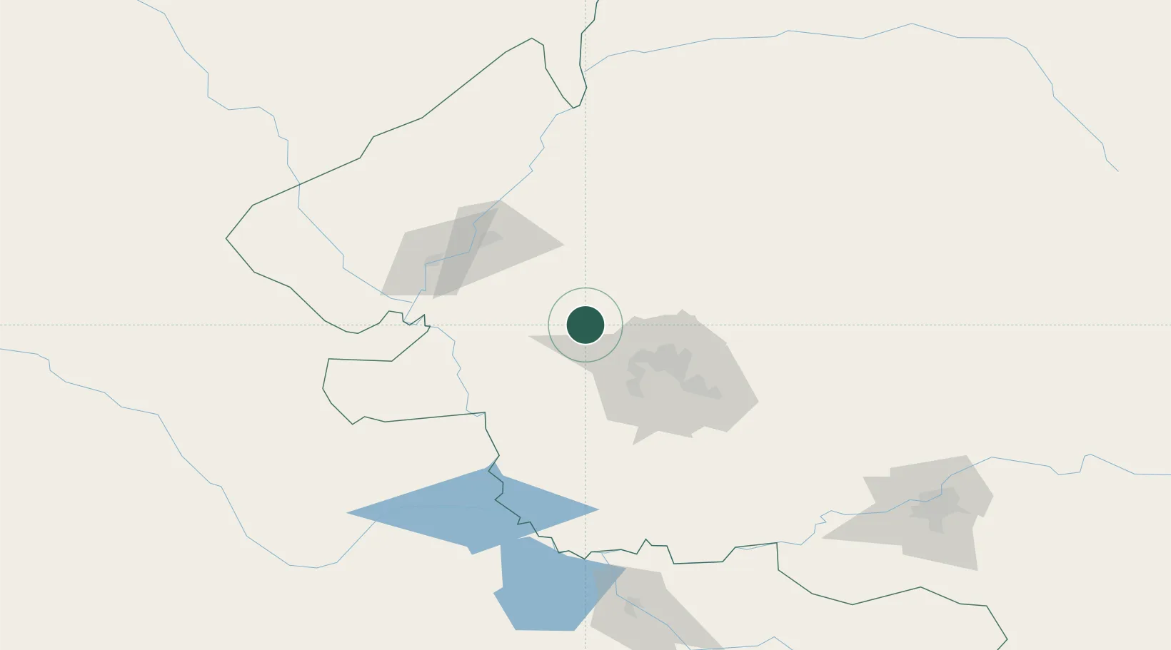
Nearby Logistics Neighbours

Cities
  1. 1Zhaodong138 km
  2. 2Baicheng187 km
  3. 3Harbin198 km
  4. 4Ulan Hot206 km
  5. 5Shuangcheng211 km
Nearest neighbours — logibook spatial index (haversine) over the source coordinates
Ports
  1. 1Pos'yet676 km
  2. 2Najin683 km
  3. 3Zarubino694 km
  4. 4Slavyanka694 km
  5. 5Ch'ongjin700 km
Nearest neighbours — logibook spatial index (haversine) over the source coordinates
Airports
  1. 1Daqing Sartu Airport45 km
  2. 2Qiqihar Sanjiazi Airport67 km
  3. 3Zhalantun Genghis Khan Airport178 km
  4. 4Harbin Taiping International Airport186 km
  5. 5Baicheng Chang'an Airport188 km
Nearest neighbours — logibook spatial index (haversine) over the source coordinates
Trade Zones
  1. 1Hecheng Science and Technology Industrial Park73 km
  2. 2Tailai Industrial Demonstration Base98 km
  3. 3Fuyu Economic Development Zone105 km
  4. 4Qinggang Economic Development Zone116 km
  5. 5Zhaozhou Economic Development Zone116 km
Nearest neighbours — logibook spatial index (haversine) over the source coordinates
DatabookThe Record of Consolidated Knowledge
China beyond logistics?
Browse databook

All Sources

LocationsUN/LOCODE
UN/LOCODE — free
LocationsGeoNames
CC BY 4.0
Portsthe NGA World Port Index
Public domain (US gov)
AirportsOurAirports
Public domain
Trade Zonesthe World Bank SEZ database
CC BY 4.0
Trade ZonesOpen Zone Map
CC BY
← China locations