UN/LOCODE hub · Russia
RUVVO
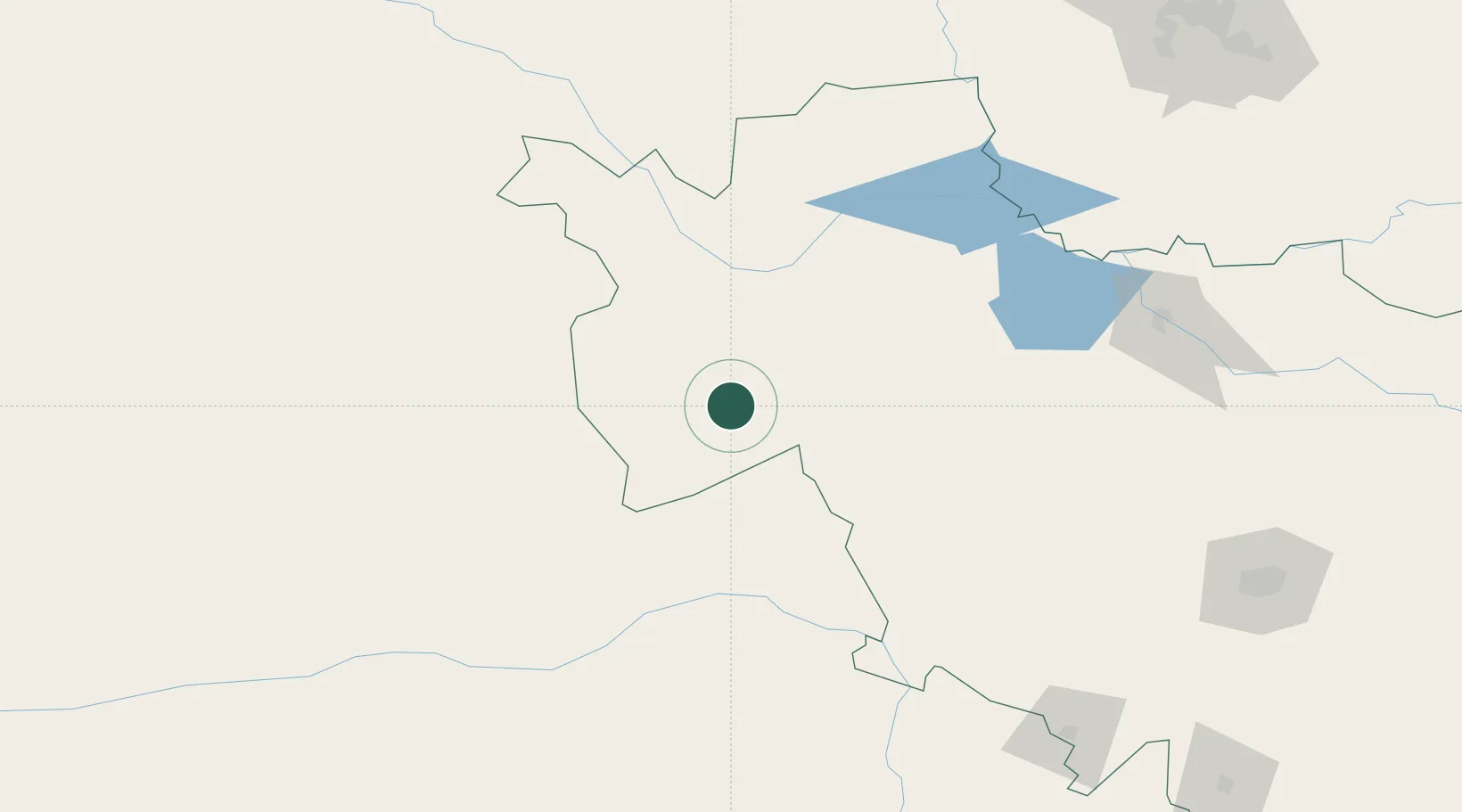
Vladivostok
44.7177°, 122.7739°
604,901
Population
3
Transport functions
3
Container terminals
Transport Functions
Port
Rail
Airport
Hub Profile
Place type
Regional capital
Region
Primorye
Population
604,901
Time zone
Asia/Vladivostok
Elevation
40 m
Logistics facilities
22
Container terminals
3
Location
Nearby Logistics Neighbours
Cities
- 1Baicheng105 km
- 2Tongliao Apt144 km
- 3Ulan Hot161 km
- 4Changchun222 km
- 5Dehui233 km
Ports
- 1Yingkou451 km
- 2Jinzhou Wan462 km
- 3Huludao Gang470 km
- 4Bayuquan495 km
- 5Dandong557 km
Airports
- 1Baicheng Chang'an Airport90 km
- 2Tongliao Airport137 km
- 3Songyuan Chaganhu Airport142 km
- 4Ulanhot Yilelite Airport175 km
- 5Gongzhuling Air Base208 km
Trade Zones
DatabookThe Record of Consolidated Knowledge
Russia beyond logistics?