Large airport · China

Harbin Taiping International AirportZYHB
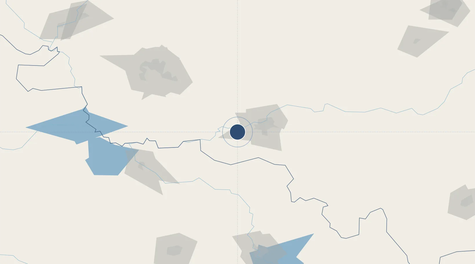
45.6234°, 126.2500°
11,811 ft
Longest runway
2
Runways
457 ft
Elevation

Runway & Layout

Harbin Taiping International Airport runway & taxiway layout
Runway & taxiway layout — OpenStreetMap (ODbL) / OurAirports

Radio Frequencies

ATIS
127.4 MHz
TWR
118.7 MHz
HARBIN TWR
OurAirports

Navaids

FYU VOR-DME Fuyu 113.70 MHz
HRB VOR-DME Harbin 112.50 MHz
OurAirports

Runways · 2

RunwayDimensions SurfaceTrue headingLit
05R/23L 11,811 × 148ft CONC
05L/23R 10,499 × 148ft Asphalt 039°
OurAirports

Airport Specifications

IATA code
HRB
OurAirports
ICAO code
ZYHB
OurAirports
Airport class
Large airport
OurAirports
Scheduled service
Yes
OurAirports
Runway surface
CONC
OurAirports
Served city
Harbin
OurAirports

Location

Location of ZYHB
Natural Earth 10m (public domain) · Heilongjiang · ZYHB · 45.62, 126.25GoogleOSMYandex

Nearby Logistics Neighbours

Airports
  1. 1Lalin Air Base65 km
  2. 2Daqing Sartu Airport152 km
  3. 3Songyuan Chaganhu Airport154 km
  4. 4Changchun Longjia International Airport186 km
  5. 5Changchun Air Base208 km
Nearest neighbours — logibook spatial index (haversine) over the source coordinates
Cities
  1. 1Harbin30 km
  2. 2Shuangcheng31 km
  3. 3Zhaodong53 km
  4. 4Bayan103 km
  5. 5Dehui129 km
Nearest neighbours — logibook spatial index (haversine) over the source coordinates
Ports
  1. 1Pos'yet491 km
  2. 2Najin497 km
  3. 3Zarubino509 km
  4. 4Slavyanka511 km
  5. 5Ch'ongjin516 km
Nearest neighbours — logibook spatial index (haversine) over the source coordinates
Trade Zones
  1. 1Jingyu Ecological Economy Development Zone24 km
  2. 2Shuangcheng Economic Development Zone28 km
  3. 3Beidahuang Economic Development Zone37 km
  4. 4Niujia Economic Development Zone45 km
  5. 5Zhaodong Economic Development Zone53 km
Nearest neighbours — logibook spatial index (haversine) over the source coordinates
DatabookThe Record of Consolidated Knowledge
China beyond logistics?
Browse databook

All Sources

AirportsOurAirports
Public domain
Portsthe NGA World Port Index
Public domain (US gov)
LocationsUN/LOCODE
UN/LOCODE — free
Trade Zonesthe World Bank SEZ database
CC BY 4.0
Trade ZonesOpen Zone Map
CC BY
InfrastructureOpenStreetMap
ODbL 1.0
← China airports