Medium airport · China

Baicheng Chang'an AirportZYBA
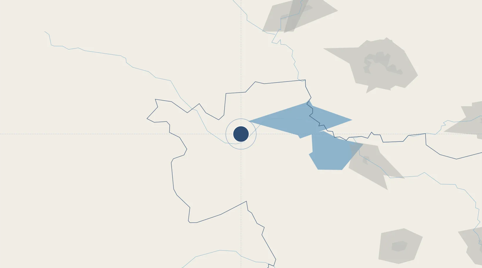
45.5053°, 123.0197°
8,202 ft
Longest runway
1
Runways
480 ft
Elevation

Runway & Layout

Baicheng Chang'an Airport runway & taxiway layout
Runway & taxiway layout — OpenStreetMap (ODbL) / OurAirports

Runways · 1

RunwayDimensions SurfaceTrue headingLit
07/25 8,202 × 147ft
OurAirports

Airport Specifications

IATA code
DBC
OurAirports
ICAO code
ZYBA
OurAirports
Airport class
Medium airport
OurAirports
Scheduled service
Yes
OurAirports
Served city
Baicheng
OurAirports

Location

Location of ZYBA
Natural Earth 10m (public domain) · Jilin · ZYBA · 45.51, 123.02GoogleOSMYandex

Nearby Logistics Neighbours

Airports
  1. 1Ulanhot Yilelite Airport110 km
  2. 2Songyuan Chaganhu Airport136 km
  3. 3Qiqihar Sanjiazi Airport204 km
  4. 4Daqing Sartu Airport214 km
  5. 5Tongliao Airport226 km
Nearest neighbours — logibook spatial index (haversine) over the source coordinates
Cities
  1. 1Baicheng25 km
  2. 2Vladivostok90 km
  3. 3Ulan Hot97 km
  4. 4Daqing188 km
  5. 5Tongliao Apt234 km
Nearest neighbours — logibook spatial index (haversine) over the source coordinates
Ports
  1. 1Yingkou540 km
  2. 2Jinzhou Wan551 km
  3. 3Huludao Gang559 km
  4. 4Bayuquan584 km
  5. 5Dandong639 km
Nearest neighbours — logibook spatial index (haversine) over the source coordinates
Trade Zones
  1. 1Taonan Economic Development Zone23 km
  2. 2Chaganhaote Tourism Economic Development Zone59 km
  3. 3Daan City Economic Development Zone98 km
  4. 4Keyouqianqi Industrial Park104 km
  5. 5Tailai Industrial Demonstration Base105 km
Nearest neighbours — logibook spatial index (haversine) over the source coordinates
DatabookThe Record of Consolidated Knowledge
China beyond logistics?
Browse databook

All Sources

AirportsOurAirports
Public domain
Portsthe NGA World Port Index
Public domain (US gov)
LocationsUN/LOCODE
UN/LOCODE — free
Trade Zonesthe World Bank SEZ database
CC BY 4.0
Trade ZonesOpen Zone Map
CC BY
InfrastructureOpenStreetMap
ODbL 1.0
← China airports