Transport Functions
Multimodal
Hub Profile
Place type
District seat
Region
Jilin
Population
108,818
Time zone
Asia/Shanghai
Elevation
174 m
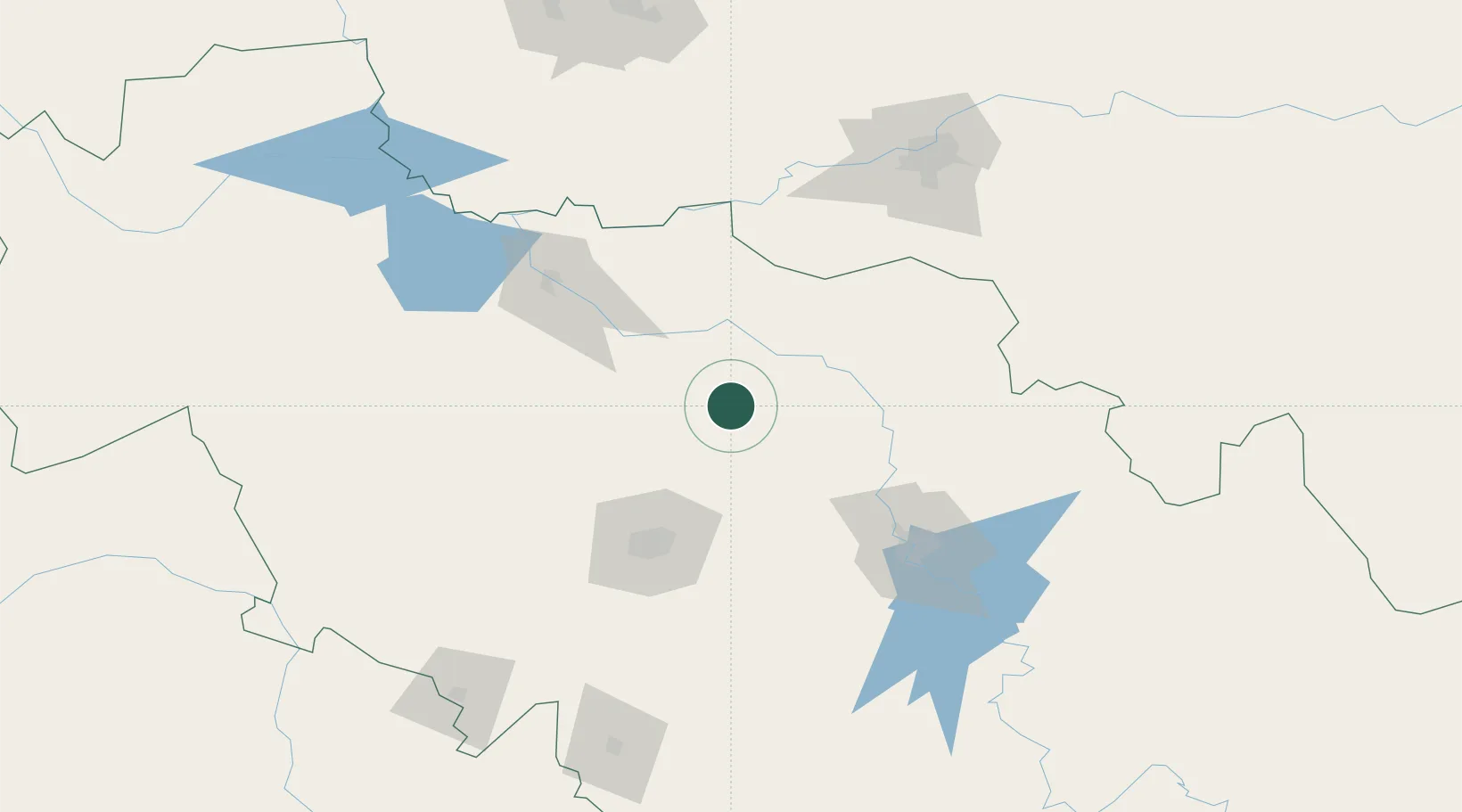
Location
Nearby Logistics Neighbours
Cities
- 1Changchun77 km
- 2Shuangcheng102 km
- 3Harbin151 km
- 4Jiashan164 km
- 5Zhaodong172 km
Airports
- 1Changchun Longjia International Airport60 km
- 2Changchun Air Base81 km
- 3Songyuan Chaganhu Airport101 km
- 4Lalin Air Base124 km
- 5Harbin Taiping International Airport129 km
DatabookThe Record of Consolidated Knowledge
China beyond logistics?