Channel & Berth Profile
Pilotage, Tugs & Services
Pilotage compulsoryNO
Pilotage availableYES
MedicalYES
Facilities & Capabilities
Container—
Ro-Ro—
Liquid bulk—
Dry bulk—
Oil terminal—
Break bulk—
Dry dockNO
RepairsNO
Bunkering—
Rail linkYES
Dangerous cargo—
ISPS security—
Harbour Specifications
Harbour size
Small
Harbour type
River (Basins)
Shelter
Fair
Water body
Sea of Japan; North Pacific Ocean
Pilotage
No
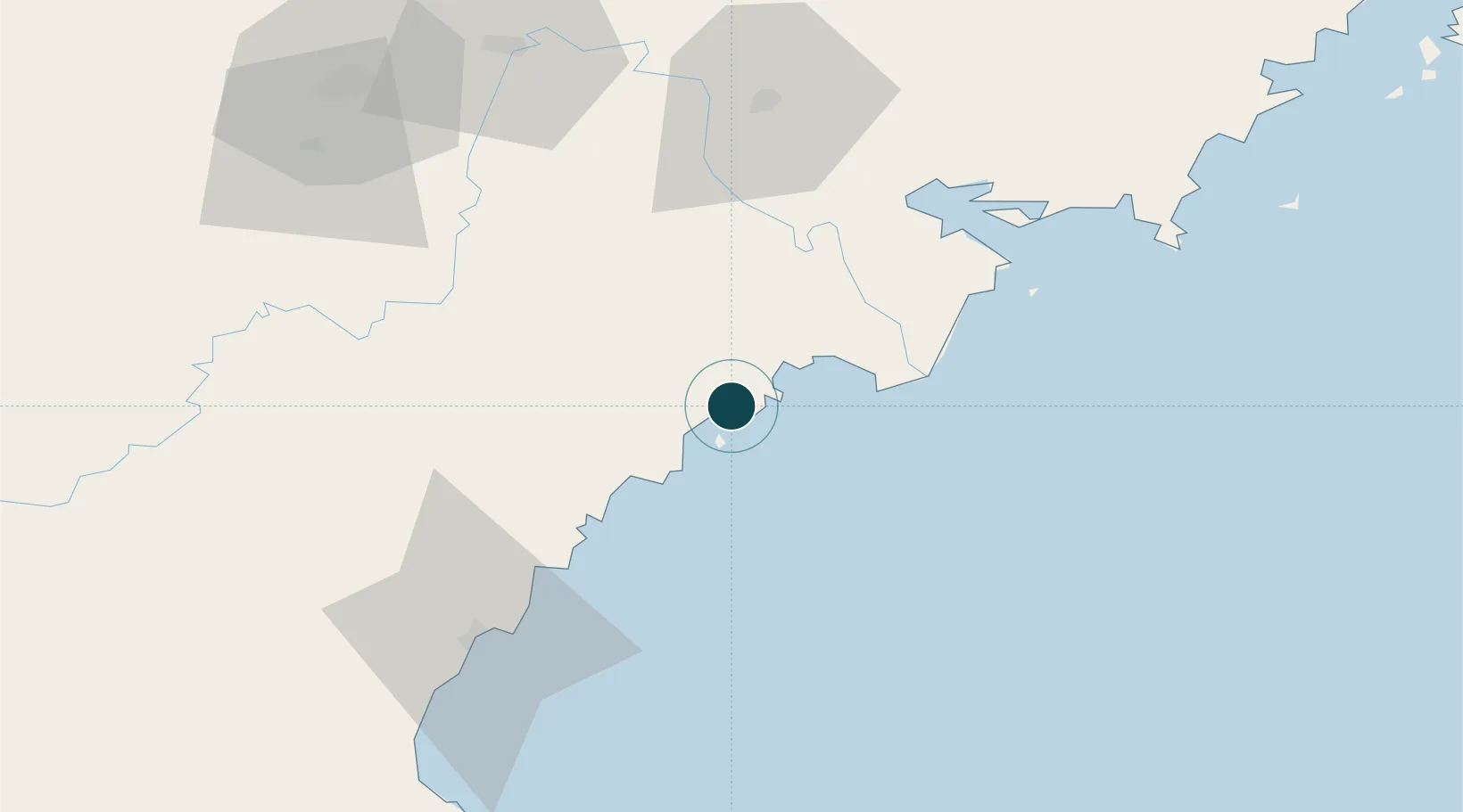
Location
Nearby Logistics Neighbours
Ports
- 1Pos'yet62 km
- 2Ch'ongjin66 km
- 3Zarubino78 km
- 4Slavyanka113 km
- 5Vladivostok162 km
Airports
- 1Yanji Chaoyangchuan Airport100 km
- 2Orang (Chongjin) Airport105 km
- 3Vladivostok International Airport199 km
- 4Changbaishan Airport223 km
- 5Vozdvizhenka Air Base228 km
DatabookThe Record of Consolidated Knowledge
North Korea beyond logistics?