Small airport · China

Ulanhot Yilelite AirportZBUL
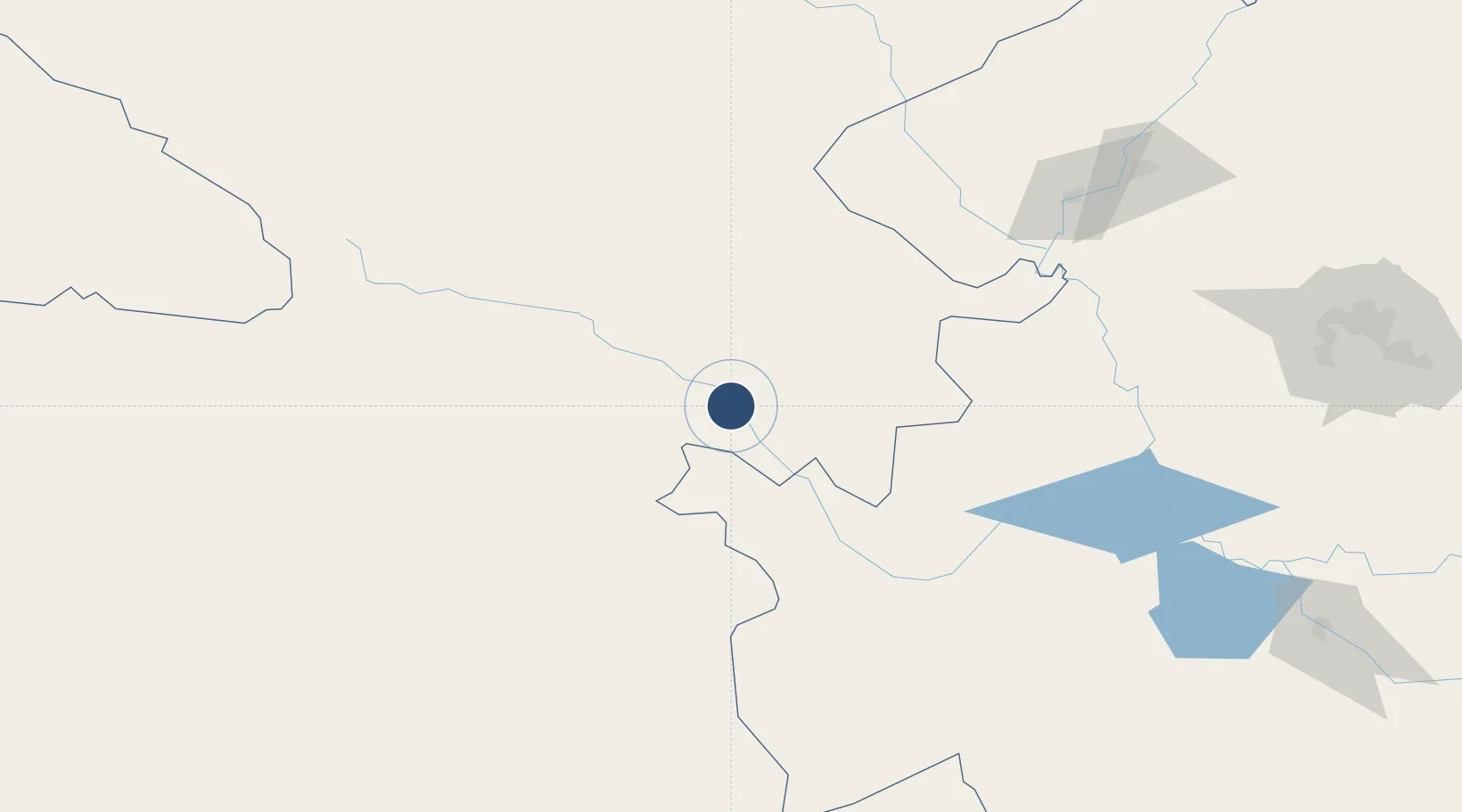
46.1953°, 122.0083°
5,906 ft
Longest runway
1
Runways

Runway & Layout

Ulanhot Yilelite Airport runway & taxiway layout
Runway & taxiway layout — OpenStreetMap (ODbL) / OurAirports

Runways · 1

RunwayDimensions SurfaceTrue headingLit
14/32 5,906 × —ft
OurAirports

Airport Specifications

IATA code
HLH
OurAirports
ICAO code
ZBUL
OurAirports
Airport class
Small airport
OurAirports
Scheduled service
Yes
OurAirports
Served city
Ulanhot
OurAirports

Location

Location of ZBUL
Natural Earth 10m (public domain) · Inner Mongol · ZBUL · 46.20, 122.01GoogleOSMYandex

Nearby Logistics Neighbours

Airports
  1. 1Baicheng Chang'an Airport110 km
  2. 2Qiqihar Sanjiazi Airport185 km
  3. 3Zhalantun Genghis Khan Airport195 km
  4. 4Arxan Yi'ershi Airport202 km
  5. 5Holingol Huolinhe Airport216 km
Nearest neighbours — logibook spatial index (haversine) over the source coordinates
Cities
  1. 1Ulan Hot14 km
  2. 2Baicheng85 km
  3. 3Vladivostok175 km
  4. 4Daqing207 km
  5. 5Tongliao Apt303 km
Nearest neighbours — logibook spatial index (haversine) over the source coordinates
Ports
  1. 1Jinzhou Wan610 km
  2. 2Yingkou613 km
  3. 3Huludao Gang617 km
  4. 4Bayuquan656 km
  5. 5Qinhuangdao723 km
Nearest neighbours — logibook spatial index (haversine) over the source coordinates
Trade Zones
  1. 1Keyouqianqi Industrial Park13 km
  2. 2Chaganhaote Tourism Economic Development Zone51 km
  3. 3Tuquan Circular Economy Industrial Park98 km
  4. 4Tailai Industrial Demonstration Base111 km
  5. 5Taonan Economic Development Zone113 km
Nearest neighbours — logibook spatial index (haversine) over the source coordinates
DatabookThe Record of Consolidated Knowledge
China beyond logistics?
Browse databook

All Sources

AirportsOurAirports
Public domain
Portsthe NGA World Port Index
Public domain (US gov)
LocationsUN/LOCODE
UN/LOCODE — free
Trade Zonesthe World Bank SEZ database
CC BY 4.0
Trade ZonesOpen Zone Map
CC BY
InfrastructureOpenStreetMap
ODbL 1.0
← China airports