Export Processing Zone · China

Zhaodong Economic Development Zone Active
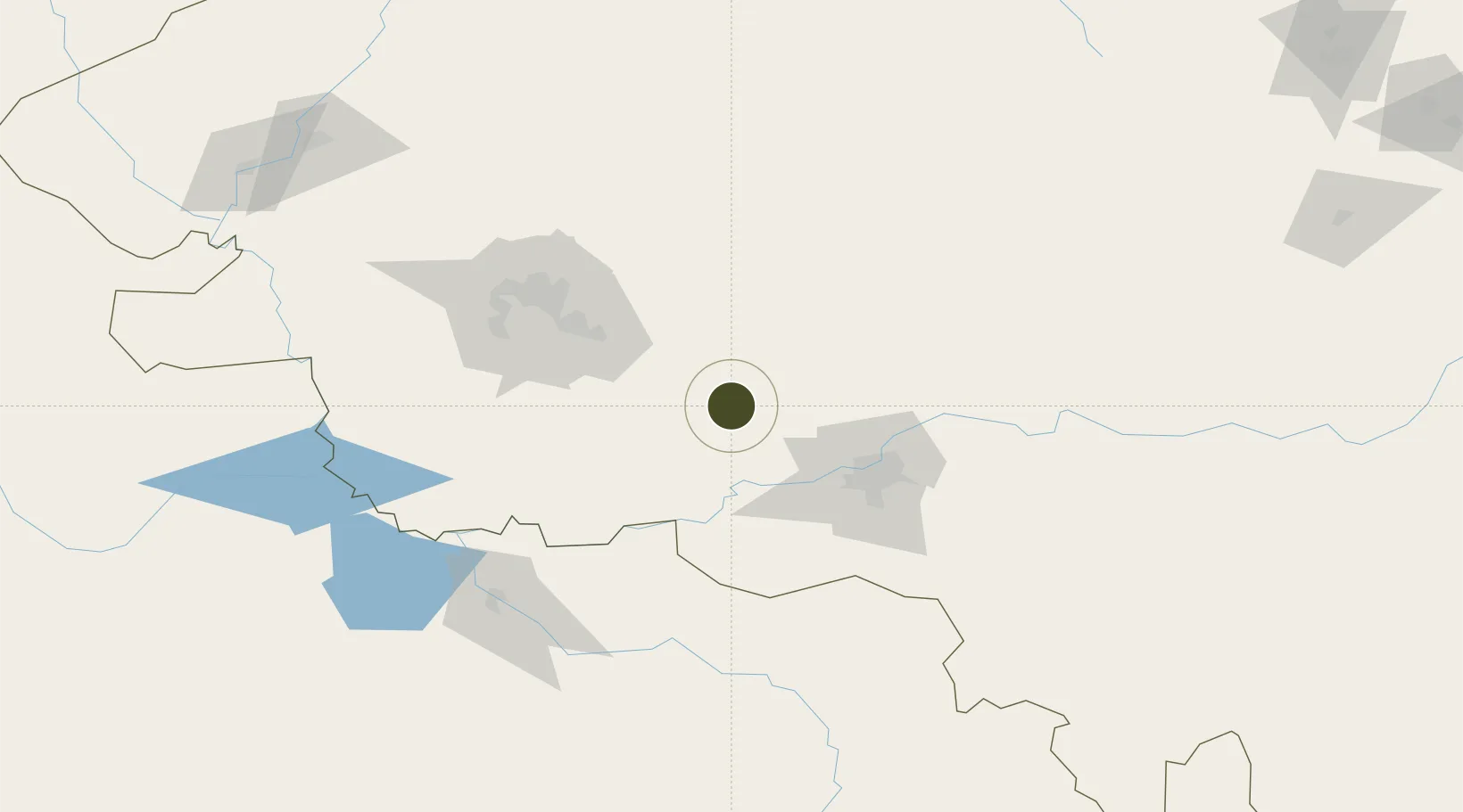
46.0596°, 125.9655°
752 ha
Zone area
539.7 km
Nearest port
53.3 km
Nearest airport

Gateway access

Nearest neighbours — logibook spatial index (haversine) over the source coordinates

Zone profile

Zone type
Export Processing Zone
Open Zone Map
Region
Heilongjiang
Open Zone Map
Status
Active
Open Zone Map
Management
Public
Open Zone Map
Operator
Zhaodong Economic Development Zone Management Committee
Open Zone Map
Legal framework
Unavailable
Open Zone Map

Location

Location of ozm-1214
Natural Earth 10m (public domain) · Heilongjiang · ozm-1214 · 46.06, 125.97GoogleOSMYandex

Nearby Logistics Neighbours

Ports
  1. 1Pos'yet540 km
  2. 2Najin548 km
  3. 3Zarubino557 km
  4. 4Slavyanka557 km
  5. 5Ch'ongjin568 km
Nearest neighbours — logibook spatial index (haversine) over the source coordinates
Airports
  1. 1Harbin Taiping International Airport53 km
  2. 2Daqing Sartu Airport100 km
  3. 3Lalin Air Base115 km
  4. 4Songyuan Chaganhu Airport167 km
  5. 5Qiqihar Sanjiazi Airport204 km
Nearest neighbours — logibook spatial index (haversine) over the source coordinates
Cities
  1. 1Zhaodong2 km
  2. 2Harbin61 km
  3. 3Shuangcheng83 km
  4. 4Bayan111 km
  5. 5Daqing137 km
Nearest neighbours — logibook spatial index (haversine) over the source coordinates
Trade Zones
  1. 1Lanxi Industrial Demonstration Base30 km
  2. 2Zhaozhou Economic Development Zone59 km
  3. 3Beidahuang Economic Development Zone67 km
  4. 4Jingyu Ecological Economy Development Zone74 km
  5. 5Qinggang Economic Development Zone78 km
Nearest neighbours — logibook spatial index (haversine) over the source coordinates
DatabookThe Record of Consolidated Knowledge
China beyond logistics?
Browse databook

All Sources

Trade ZonesOpen Zone Map
CC BY
Portsthe NGA World Port Index
Public domain (US gov)
AirportsOurAirports
Public domain
LocationsUN/LOCODE
UN/LOCODE — free
← China trade zones