Transport Functions
Port
Multimodal
Hub Profile
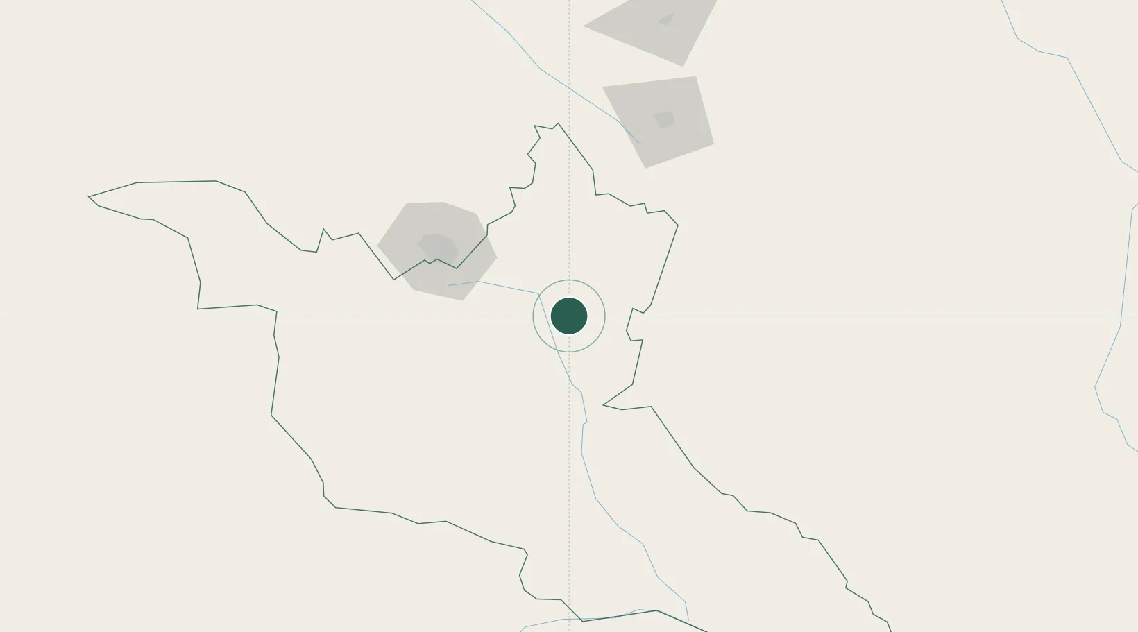
Place type
Populated place
Region
Matabeleland South Province
Population
1,756
Time zone
Africa/Harare
Elevation
1,072 m
Location
Nearby Logistics Neighbours
Cities
- 1Gwanda53 km
- 2Zimbabwe173 km
- 3Francistown197 km
- 4Messina217 km
- 5Chiredzi254 km
Airports
DatabookThe Record of Consolidated Knowledge
Zimbabwe beyond logistics?