Medium airport · Zimbabwe

Buffalo Range AirportFVCZ
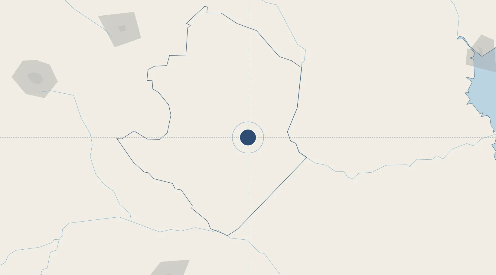
-21.0081°, 31.5786°
5,785 ft
Longest runway
1
Runways
1,421 ft
Elevation

Runway & Layout

Buffalo Range Airport runway & taxiway layout
Runway & taxiway layout — OpenStreetMap (ODbL) / OurAirports

Radio Frequencies

TWR
122.6 MHz
APP
122.6 MHz
OurAirports

Navaids

BI NDB Buffalo Range 233 kHz
CZ NDB Buffalo Range 250 kHz
OurAirports

Runways · 1

RunwayDimensions SurfaceTrue headingLit
14/32 5,785 × 98ft Bitumen 130°
OurAirports

Airport Specifications

IATA code
BFO
OurAirports
ICAO code
FVCZ
OurAirports
Airport class
Medium airport
OurAirports
Scheduled service
No
OurAirports
Runway surface
Bitumen
OurAirports
Served city
Chiredzi
OurAirports

Location

Location of FVCZ
Natural Earth 10m (public domain) · Masvingo · FVCZ · -21.01, 31.58GoogleOSMYandex

Nearby Logistics Neighbours

Airports
  1. 1Masvingo International Airport130 km
  2. 2Josiah Tungamirai Air Force Base250 km
  3. 3Chimoio Airport283 km
  4. 4Joshua Mqabuko Nkomo International Airport327 km
  5. 5Hendrik Van Eck Airport329 km
Nearest neighbours — logibook spatial index (haversine) over the source coordinates
Cities
  1. 1Chiredzi10 km
  2. 2Zimbabwe107 km
  3. 3Chimanimani190 km
  4. 4Messina220 km
  5. 5Filabusi244 km
Nearest neighbours — logibook spatial index (haversine) over the source coordinates
Ports
  1. 1Beira363 km
  2. 2Inhambane509 km
  3. 3Maputo560 km
  4. 4Chinde582 km
  5. 5Quelimane656 km
Nearest neighbours — logibook spatial index (haversine) over the source coordinates
DatabookThe Record of Consolidated Knowledge
Zimbabwe beyond logistics?
Browse databook

All Sources

AirportsOurAirports
Public domain
Portsthe NGA World Port Index
Public domain (US gov)
LocationsUN/LOCODE
UN/LOCODE — free
Trade Zonesthe World Bank SEZ database
CC BY 4.0
Trade ZonesOpen Zone Map
CC BY
InfrastructureOpenStreetMap
ODbL 1.0
← Zimbabwe airports