Medium airport · Zimbabwe

Hwange National Park AirportFVWN
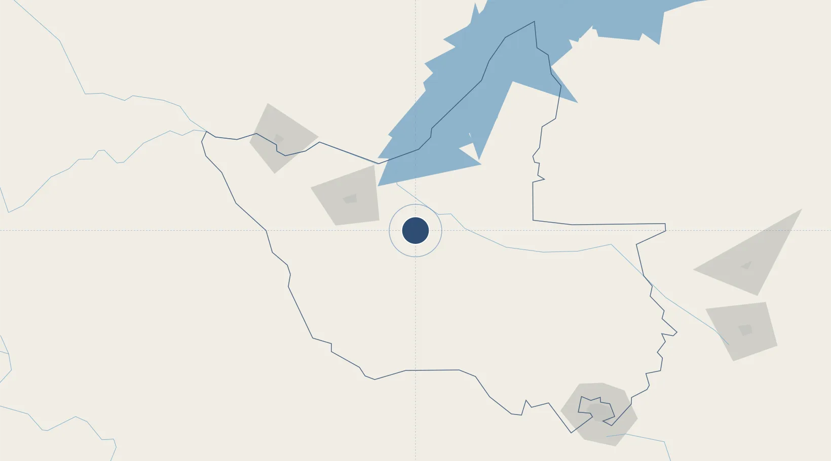
-18.6299°, 27.0210°
15,091 ft
Longest runway
1
Runways
3,543 ft
Elevation

Runway & Layout

Hwange National Park Airport runway & taxiway layout
Runway & taxiway layout — OpenStreetMap (ODbL) / OurAirports

Radio Frequencies

TWR
119.9 MHz
PARK TWR
APP
119.9 MHz
PARK APP
OurAirports

Navaids

PO NDB Hwange National Park 377 kHz
VWN VOR-DME Hwange 114.50 MHz
WN NDB Hwange National Park 393 kHz
OurAirports

Runways · 1

RunwayDimensions SurfaceTrue headingLit
08/26 15,091 × 98ft Asphalt 068°
OurAirports

Airport Specifications

IATA code
HWN
OurAirports
ICAO code
FVWN
OurAirports
Airport class
Medium airport
OurAirports
Scheduled service
No
OurAirports
Runway surface
Asphalt
OurAirports
Served city
Gwayi River Farms
OurAirports

Location

Location of FVWN
Natural Earth 10m (public domain) · Matabeleland North · FVWN · -18.63, 27.02GoogleOSMYandex

Nearby Logistics Neighbours

Airports
  1. 1Victoria Falls International Airport138 km
  2. 2Harry Mwanga Nkumbula International Airport156 km
  3. 3Kasane International Airport215 km
  4. 4Joshua Mqabuko Nkomo International Airport228 km
  5. 5Sua Pan Airport234 km
Nearest neighbours — logibook spatial index (haversine) over the source coordinates
Cities
  1. 1Thompson Junction94 km
  2. 2Gokwe207 km
  3. 3Dukwi223 km
  4. 4Francistown287 km
  5. 5Siavonga294 km
Nearest neighbours — logibook spatial index (haversine) over the source coordinates
Ports
  1. 1Beira831 km
  2. 2Maputo994 km
  3. 3Chinde999 km
  4. 4Quelimane1045 km
  5. 5Inhambane1048 km
Nearest neighbours — logibook spatial index (haversine) over the source coordinates
DatabookThe Record of Consolidated Knowledge
Zimbabwe beyond logistics?
Browse databook

All Sources

AirportsOurAirports
Public domain
Portsthe NGA World Port Index
Public domain (US gov)
LocationsUN/LOCODE
UN/LOCODE — free
Trade Zonesthe World Bank SEZ database
CC BY 4.0
Trade ZonesOpen Zone Map
CC BY
InfrastructureOpenStreetMap
ODbL 1.0
← Zimbabwe airports